Accurate utilities detection

By MJ Woof November 26, 2024 Read time: 1 min
Utility works can be carried out more efficiently using new capabilities offered jointly by Trimble and Radiodetection

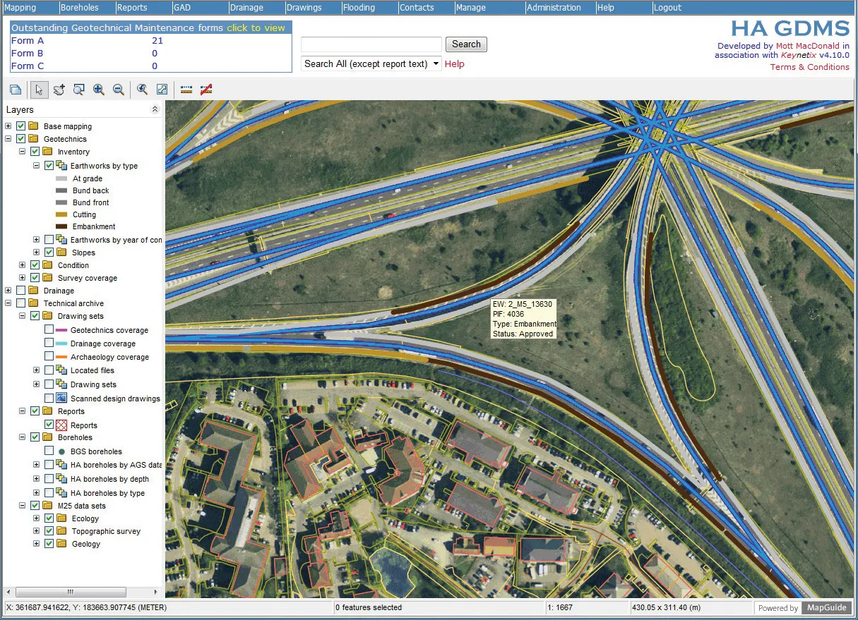
Trimble and Radiodetection are collaborating to improve the technology used in the utility measurement and mapping process. Integrating the Trimble Catalyst DA2 GNSS system and Radiodetection’s RD MapTM+ application and precision locator products helps to streamline utility-locating workflows to provide accurate measurement capabilities and generate underground utilities maps in a single field operation.

When using conventional technology, field technicians mark their measurements onsite or rely on data entries to provide to office staff for map creation after a site visit. However, data collected with the Trimble Catalyst DA2 GNSS system can now be simultaneously synchronised with Radiodetection RD Map+ and precision locators that find and mark buried utilities. By streamlining this connection, workers can digitise utility-line locations and reduce reporting errors. 

“Accurate geolocation is critical to the operation and maintenance of underground utilities and public infrastructure,” said Stephanie Michaud, strategic marketing manager, Trimble Surveying & Mapping Field Solutions. “By adding survey-grade capabilities to existing utility workflows, this collaboration creates a connected solution that provides confidence and reliability during the data capture process.”

The combined technologies provide accurate data for construction firms to work from, assisting with the establishment of dependable digital twins.




For more information on companies in this article

Related Content

  • An array of innovative software and GIS solutions will boost construction efficiency
    July 18, 2012
    New software and GIS innovations will help boost construction efficiency - Mike Woof reports Major software suppliers continue to develop their technology and offer new products to the market. Major developments from leading firms will help improve operations for contractors in many segments of the construction industry, from initial design and planning through to maintenance. Version 8 of the well-known ARCADY program for assessment of roundabout capacity is just released by UK transport research and soft
  • Take the lead in milling
    April 30, 2024
    Being an early adopter of machine control systems has been a benefit for a US contractor.
  • Trimble and Bentley Systems form ‘strategic alliance’
    November 6, 2012
    Trimble has formed a strategic alliance with Bentley Systems (Bentley). The alliance between Trimble, a leading provider of connected construction solutions for building, heavy, and civil contractors, and Bentley, a major company in the provision of complete software solutions for sustaining infrastructure, aims to create a new benchmark for construction and operations quality, efficiency and safety. According to Bentley, its strategic alliance with Trimble will create a “seamless exchange of information” b
  • Trimble’s new tools can boost drilling, piling and bucket weighing accuracy
    November 29, 2013
    Trimble is broadening its range of products with the introduction of its new DPS900 Drilling and Piling System and Business Center and the LOADRITE X2350 Payload Management System for excavators. According to the firm, the DPS900 Drilling and Piling system allows contractors to drill precisely at a specified location, to preset levels for depth, orientation and inclination angle. The HCE Drilling and Piling module is said to offer contractors tools to create optimised drilling and piling plans that can help