Accurate utilities detection

By MJ Woof November 26, 2024 Read time: 1 min
Utility works can be carried out more efficiently using new capabilities offered jointly by Trimble and Radiodetection

Trimble and Radiodetection are collaborating to improve the technology used in the utility measurement and mapping process. Integrating the Trimble Catalyst DA2 GNSS system and Radiodetection’s RD MapTM+ application and precision locator products helps to streamline utility-locating workflows to provide accurate measurement capabilities and generate underground utilities maps in a single field operation.

When using conventional technology, field technicians mark their measurements onsite or rely on data entries to provide to office staff for map creation after a site visit. However, data collected with the Trimble Catalyst DA2 GNSS system can now be simultaneously synchronised with Radiodetection RD Map+ and precision locators that find and mark buried utilities. By streamlining this connection, workers can digitise utility-line locations and reduce reporting errors. 

“Accurate geolocation is critical to the operation and maintenance of underground utilities and public infrastructure,” said Stephanie Michaud, strategic marketing manager, Trimble Surveying & Mapping Field Solutions. “By adding survey-grade capabilities to existing utility workflows, this collaboration creates a connected solution that provides confidence and reliability during the data capture process.”

The combined technologies provide accurate data for construction firms to work from, assisting with the establishment of dependable digital twins.





For more information on companies in this article

Related Content

  • SICK’s Free Flow Profiler scans vehicles on the move
    August 27, 2019
    SICK has launched the Free Flow Profiler vehicle measurement system that enables highly accurate 3D profiling of vehicles across multiple lanes in free-flow traffic
  • Topcon offers the potential for smoother roads
    May 11, 2018
    An improved package from Topcon Positioning will allow upgrades in road surface quality. The firm is launching an upgrade to its SmoothRide data collection software. This new RD-M1 Collect 2.0 package includes updates that make the mapping of road conditions easier and more efficient. The improved interface is designed to simplify setup and automatically detect the position of the wheel sensor during data collection.
  • HAMM’s novel compaction solution
    February 7, 2017
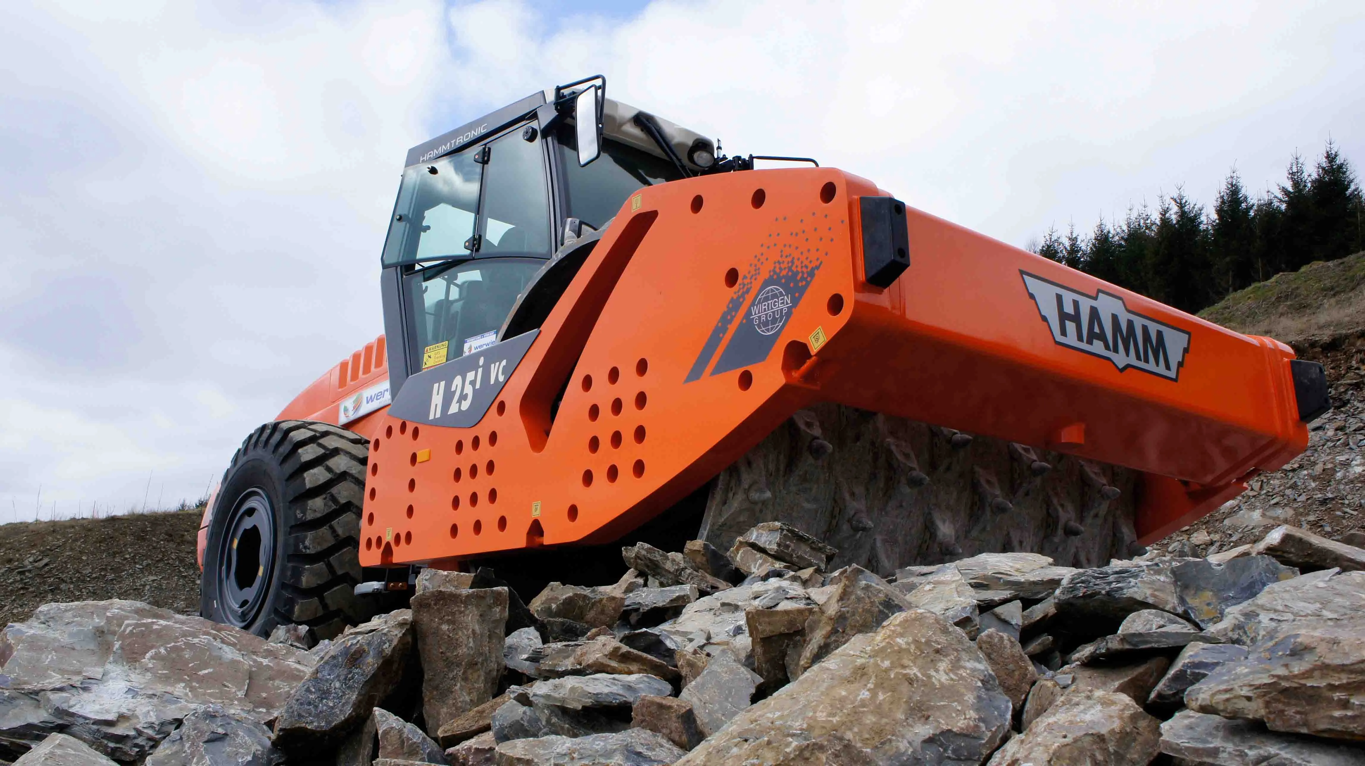
    HAMM is offering an innovative compaction crushing concept to construction customers - Mike Woof writes HAMM has put its novel crusher drum compactor system in series production. This is based on soil compactor technology, with the key feature being the innovative detachable tools. The idea behind the concept is that a large single drum roller can be used both for crushing and compacting rock. HAMM first unveiled its prototype in 2013 but has been developing and improving the system in a series of trials
  • Greener transport infrastructure
    February 16, 2024
    Crossing the carbon challenge: Pioneering carbon reduction on the UK’s ‘greenest’ major infrastructure project Paul Taylor – AtkinsRéalis Carbon Manager, Lower Thames Crossing Roads North