Accurate utilities detection

By MJ Woof November 26, 2024 Read time: 1 min
Utility works can be carried out more efficiently using new capabilities offered jointly by Trimble and Radiodetection

Trimble and Radiodetection are collaborating to improve the technology used in the utility measurement and mapping process. Integrating the Trimble Catalyst DA2 GNSS system and Radiodetection’s RD MapTM+ application and precision locator products helps to streamline utility-locating workflows to provide accurate measurement capabilities and generate underground utilities maps in a single field operation.

When using conventional technology, field technicians mark their measurements onsite or rely on data entries to provide to office staff for map creation after a site visit. However, data collected with the Trimble Catalyst DA2 GNSS system can now be simultaneously synchronised with Radiodetection RD Map+ and precision locators that find and mark buried utilities. By streamlining this connection, workers can digitise utility-line locations and reduce reporting errors. 

“Accurate geolocation is critical to the operation and maintenance of underground utilities and public infrastructure,” said Stephanie Michaud, strategic marketing manager, Trimble Surveying & Mapping Field Solutions. “By adding survey-grade capabilities to existing utility workflows, this collaboration creates a connected solution that provides confidence and reliability during the data capture process.”

The combined technologies provide accurate data for construction firms to work from, assisting with the establishment of dependable digital twins.




For more information on companies in this article

Related Content

  • Apps for all in Louisiana
    May 20, 2020
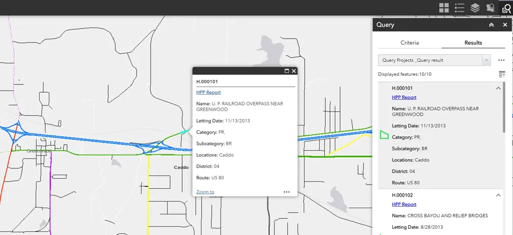
    Jason Barnes* looks at how a system of engagement (SoE) from software specialist Esri helped the US state of Louisiana’s transportation department create user-friendly apps
  • Growing WIM demand in Russia and South America
    April 4, 2014
    One Eastern European WIM manufacturer is finding commercial success in Russia, while another leading manufacturer is in demand in South America, as Guy Woodford reports Since Czech WIM technology manufacturer Camea secured type approval for its UnicamWIM system in early 2013, the firm has been installing a number of the systems in different Russian regions. These have included two UnicamWIM stations in Novosibirsk, one in the Kostroma region, and another on the M20 Highway between Belarus and Russia.
  • Digital Construction Works develops new fully-integrated monitoring platform
    October 6, 2022
    Machine control specialist DCW (Digital Construction Works) has combined Topcon's monitoring platform with Bentley's Sensemetrics package to create a new solution that ties IoT sensors and monitoring systems to give contractors rapid project information in near real-time.
  • Efficient construction leads to quality roads
    November 30, 2012
    Technology to assist the installation of quick laying, yet top-quality, road surfaces requiring less frequent repair, thus limiting costs and the number of construction sites, is being sought by highways authorities the world over. The European Union devised project ASPHALT (Advanced Galileo Navigation System for Asphalt Fleet Machines) for satellite navigation and fleet management may have found just what such authorities are looking for. Within the scope of the ASPHALT research project MOBA, together wit