Accurate data capture with Hexagon

Hexagon is introducing the Leica BLK ARC and the Leica BLK2FLY tools, which offer speed, portability and mobility for autonomous mobile reality capture.
January 2, 2022 Read time: 2 mins
Accurate site evaluation is feasible with Hexagon’s latest technology

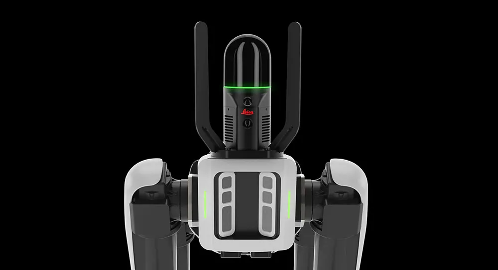
The Leica BLK ARC is a laser scanning sensor designed to improve autonomous navigation of robots and other carrier platforms. Combining speed, accuracy, and versatility with robotics, the BLK ARC offers an autonomous solution that can capture accurate 3D point clouds and panoramic images of changing environments with minimal user intervention.

The Leica BLK2FLY is a fully integrated, autonomous flying laser scanning sensor. Users can use a tablet to scan structures and environments accurately from the air.

The BLK ARC and BLK2FLY tools connect directly to Hexagon’s cloud-based visualisation platform, HxDR, where data uploaded from the field, AI-enabled cloud processing and storage of the captured data allows the delivery of smart digital reality to users.  The BLK ARC can be fitted to the Spot unit from Boston Dynamics Spot but can be integrated with other autonomous robotic carriers. The BLK ARC delivers fully autonomous mobile laser scanning specifically designed for robots. The BLK ARC improves Spot's navigation while capturing 3D data.

The BLK2FLY offers advanced autonomous obstacle avoidance. The system combines LiDAR, radar, cameras, and GNSS for optimal and safe flight paths. Users can combine data from the BLK2FLY with interior scans of buildings and structures captured with the Leica BLK2GO, Hexagon’s handheld 3D scanner. The resulting colourised 3D point clouds are instrumental to building information modelling (BIM) processes, including documenting site conditions.

For more information on companies in this article

Related Content

  • Springtime for the use of analytics
    April 6, 2021
    Samu Karanko of Vaisala Digital argues for more - and better - use of big data analytics to predict winter weather patterns in order to keep roads clear of snow and ice
  • Stone Arch Bridge Rehabilitation
    May 19, 2022


    Rehabilitating an Historic Landmark

  • Effective demarcation boosts traffic safety
    July 29, 2015
    Effective demarcation can play a crucial role in boosting safety for road users. Good demarcation is vital on a road network to help ensure that drivers stay in the correct lanes and are warned of changes that lie in their path, for example. Road markings are hugely important and for those involved in maintenance, ensuring that these are visible at night and in poor weather can help maximise safety. New technology is on the market now that can help road authorities ensure that road markings meet requirement
  • Opsys launches ALTOS at Curiosity Lab
    November 18, 2024
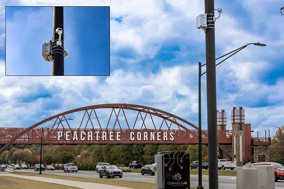
    Opsys said that, as a pure solid-state LiDAR, the ALTOS Gen 2 has no moving parts and will be deployed at Curiosity Lab in the US city of Peachtree Corners to provide real-time data on traffic flow and pedestrian movements.