Accurate data capture with Hexagon

Hexagon is introducing the Leica BLK ARC and the Leica BLK2FLY tools, which offer speed, portability and mobility for autonomous mobile reality capture.
January 2, 2022 Read time: 2 mins
Accurate site evaluation is feasible with Hexagon’s latest technology

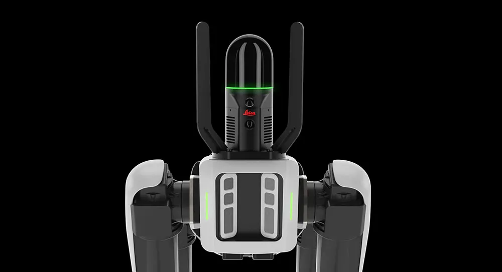
The Leica BLK ARC is a laser scanning sensor designed to improve autonomous navigation of robots and other carrier platforms. Combining speed, accuracy, and versatility with robotics, the BLK ARC offers an autonomous solution that can capture accurate 3D point clouds and panoramic images of changing environments with minimal user intervention.

The Leica BLK2FLY is a fully integrated, autonomous flying laser scanning sensor. Users can use a tablet to scan structures and environments accurately from the air.

The BLK ARC and BLK2FLY tools connect directly to Hexagon’s cloud-based visualisation platform, HxDR, where data uploaded from the field, AI-enabled cloud processing and storage of the captured data allows the delivery of smart digital reality to users.  The BLK ARC can be fitted to the Spot unit from Boston Dynamics Spot but can be integrated with other autonomous robotic carriers. The BLK ARC delivers fully autonomous mobile laser scanning specifically designed for robots. The BLK ARC improves Spot's navigation while capturing 3D data.

The BLK2FLY offers advanced autonomous obstacle avoidance. The system combines LiDAR, radar, cameras, and GNSS for optimal and safe flight paths. Users can combine data from the BLK2FLY with interior scans of buildings and structures captured with the Leica BLK2GO, Hexagon’s handheld 3D scanner. The resulting colourised 3D point clouds are instrumental to building information modelling (BIM) processes, including documenting site conditions.

For more information on companies in this article

Related Content

  • Efficient concrete inspection from GSSI
    June 17, 2016
    A new portable tool from GSSI offers fast and accurate analysis of concrete structures. The firm’s latest handheld ground penetrating radar (GPR) can be used for concrete inspection Industry. The StructureScan Mini series is a handheld, all-in-one GPR system for locating rebar, conduits, post-tension cables and voids. The unit can also be used to determine concrete slab thickness in real time. The firm offers the product in two models, the standard StructureScan Mini and the high resolution StructureSca
  • Electric slipforming with machine control
    December 13, 2024
    Electric slipforming has been carried out with machine control technology from Leica Geosystems.
  • AFRY Helps Scania Drive Toward Sustainable Transport with New Autonomous Vehicle Test Track
    March 10, 2023
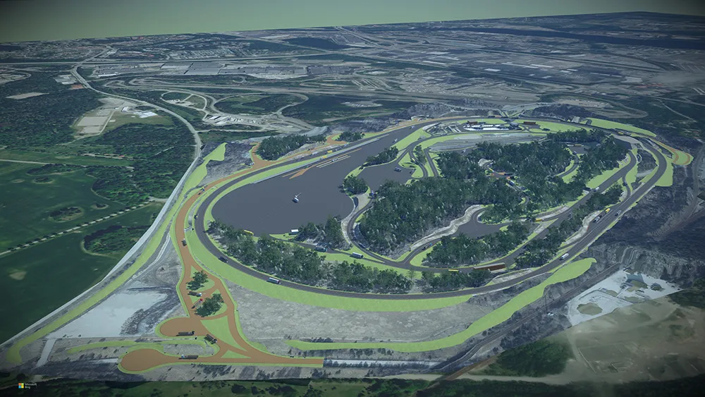
    With the rapid development of autonomous and electrified vehicles, Swedish heavy truck and bus manufacturer Scania is developing a new test track in Södertälje, 40 kilometers southwest of Stockholm. To design the track to simulate multiple scenarios, Scania hired AFRY for their design and engineering expertise. The test track includes 19 kilometers of roads with more than 60 intersections and junctions, though complex, hilly ground conditions that will make layout difficult. Since changing any single element would impact numerous others, AFRY needed a flexible, accessible design environment.
  • XenomatiX boosts its road scanning solution
    September 29, 2023
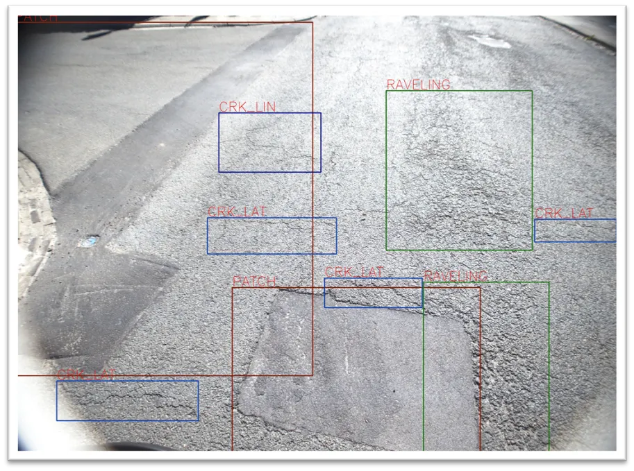
    An additional 14 types of road distress can be measured, including cracks, bleeding and raveling.