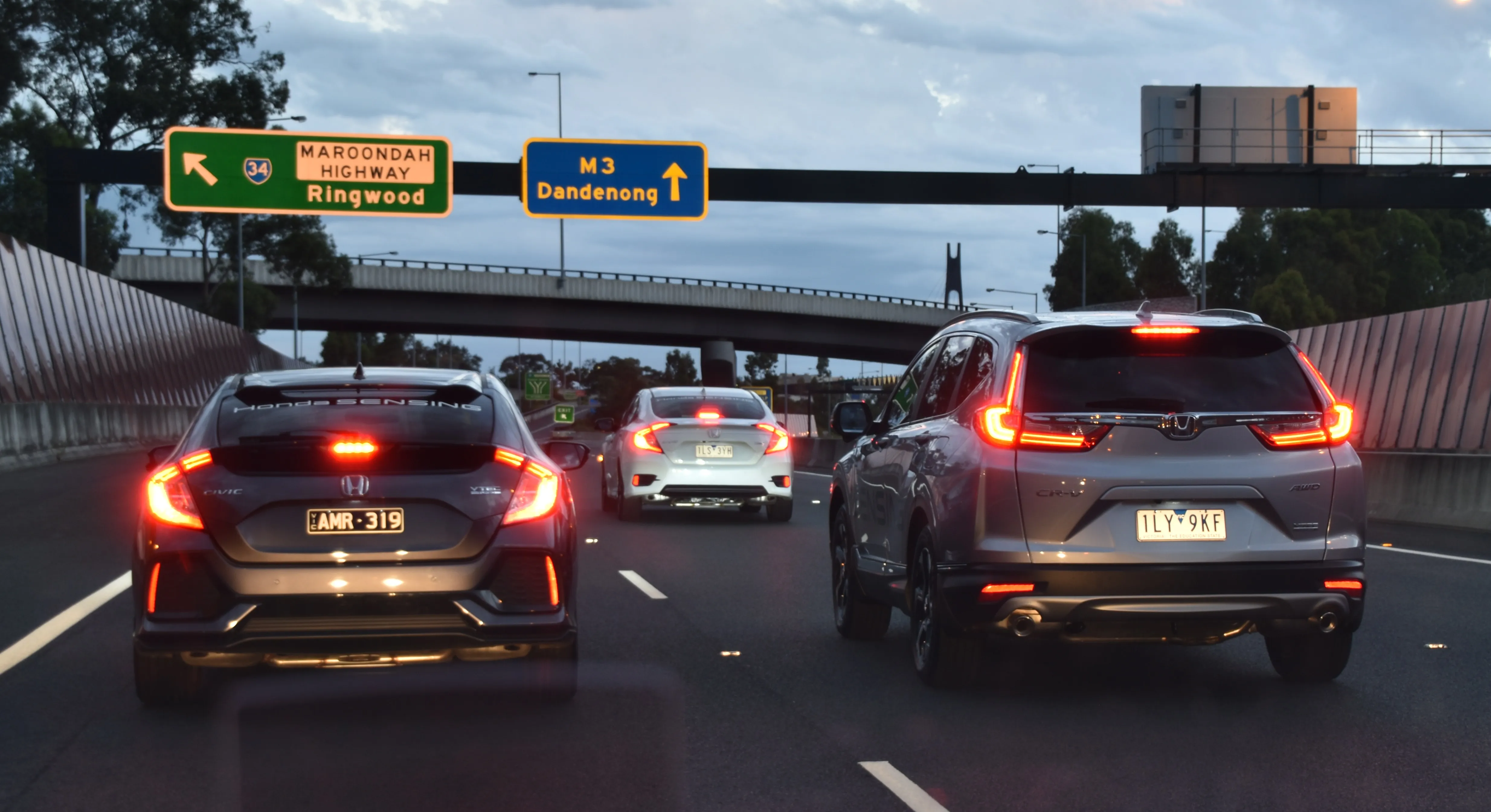
Australian city Melbourne could benefit from revitalised transport links over the next three decades if proposals are put into action.
Australian city Melbourne could benefit from revitalised transport links over the next three decades if proposals are put into action. The plan is called Proposed 2040 Road Network Development and sets out plans for the North-East Link freeway through Heidelberg, which would cost US$5.94 billion (A$6 billion), a new Rye Bypass on the Mornington Peninsular, a new freeway to carry traffic to Coldstream from Diamond Creek.
Also planned are a major road between Donvale and Eltham, the planned east-west road tunnel between Footscray and Clifton Hill and a new outer outer ring road from Geelong to Epping through Bacchus Marsh.
Meanwhile in Western Australia on the other side of the country, the Mandjoogoordap Drive road project is now open to traffic. The road connects to Mandurah and is expected to reduce traffic congestion on other existing links. The $153 million (A$155 million) project was completed two months ahead of schedule and is expected to carry an average of 10,000 vehicles/day. The road features 6.5km of four-lane dual carriageway and a 220m tunnel for vehicles to cross the eastern side of the railway line.