Topcon offering new solutions

Topcon Positioning is broadening its solutions to the construction sector with a combination of partnerships and acquisitions. The firm has acquired a significant share of Finnish design software specialist Viasys VDC, adding to its portfolio of (BIM) technologies. This firm offers a comprehensive suite of tools and services for building Virtual Design and Construction (VDC) models for infrastructure and site-work projects. The VDC models from Viasys can be used to optimise the construction process through
January 6, 2017 Read time: 2 mins
342 Topcon Positioning is broadening its solutions to the construction sector with a combination of partnerships and acquisitions. The firm has acquired a significant share of Finnish design software specialist Viasys VDC, adding to its portfolio of (BIM) technologies.  This firm offers a comprehensive suite of tools and services for building Virtual Design and Construction (VDC) models for infrastructure and site-work projects. The VDC models from Viasys can be used to optimise the construction process throughout a project lifecycle delivering better quality, higher efficiency and reduced costs. These VDC solutions are said to allow for the import of virtually any BIM or non-BIM design model, delivering interoperability with open design standards currently in the market. Accurate 5D simulation allows for optimal planning and execution. Other significant features include cloud-based collaboration functions as well as mobile access to models and information on-site.

The company is also establishing a new partnership for photogrammetry technology. The deal has been struck with digital photogrammetric solution provider Agisoft. This move will further expand the Topcon portfolio of solutions for mass data collection (MDC).

Topcon will provide the Agisoft Photogrammetric Kit for Topcon – Professional Edition software for post-processing of data collected using unmanned aerial systems (UAS).

Features include photogrammetric triangulation, dense point-cloud editing and classification, digital terrain or surface model export to a variety of formats including georeferenced orthomosiac production (including GeoTIFF and KML export), multi-spectral imagery processing, 3D model generation and texturing, as well as full measurement analysis tools.

These deals follow on from Topcon’s recent collaboration with DAQRI for augmented reality technology. DAQRI developed its innovative Smart Helmet, an industrial-grade wearable unit that allows users to view as-built designs through a head-up display. Topcon and DAQRI will integrate DAQRI’s hardware and software solutions with Topcon positioning solutions. Powered by 4D Studio, DAQRI’s software platform for positioning, the partnership will allow construction workers to view information from their projects in the real-world work environment to make their workflows safer and more efficient. The collaboration is designed to bring wearable technology to a wider AEC (architecture, engineering and construction) user-base; empowering the wearer with a hands-free tool that can be used on the job.

For more information on companies in this article

Related Content

  • Machine Control sector is the place for acquisitions
    January 22, 2014
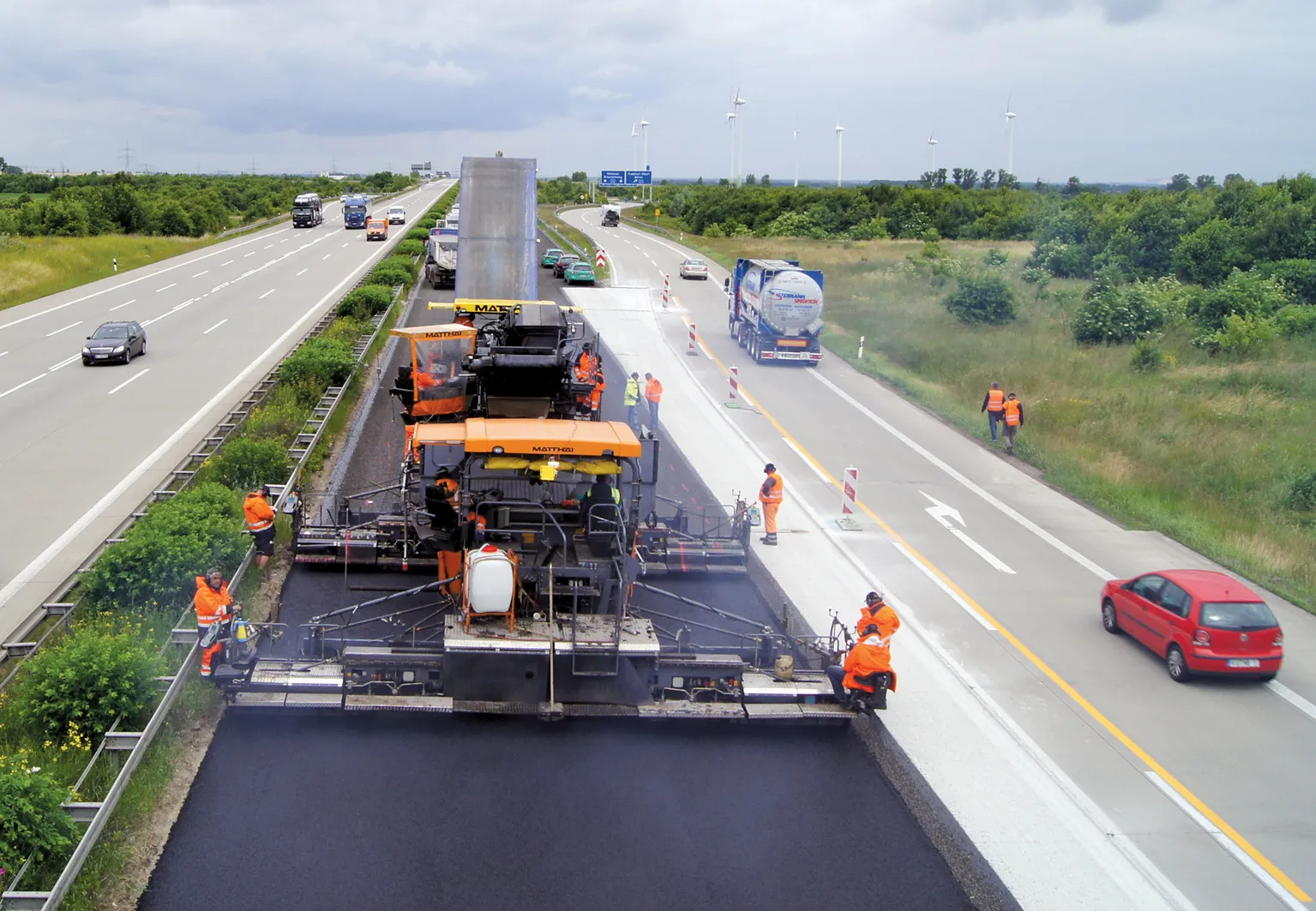
    The machine control sector has been lively in recent months with a major acquisition, the unveiling of new software innovation and landmark testing of new technology to monitor paving temperature. Guy Woodford reports The state road construction authority in the German state of Saxony-Anhalt (LSBB Saxony-Anhalt) has become the first nationally to test MOBA’s new PAVE-IR Scan temperature measurement system at a works site.
  • Great Eastern Bypass Interchanges Improve Safety, Connectivity, and Travel Times in Perth’s Eastern Metropolitan Regions
    June 27, 2023

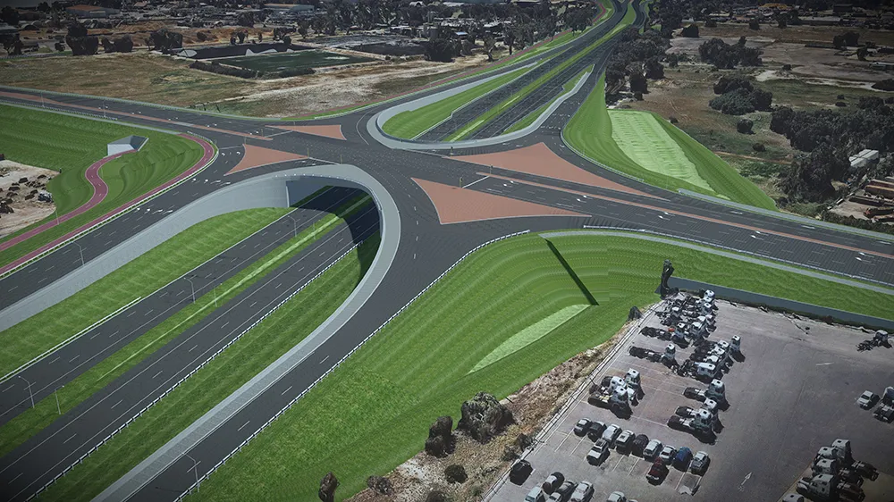
    Located in eastern Perth, the Great Eastern Highway Bypass Interchanges project aims to upgrade two major interchanges at Roe Highway and Abernathy Road, which have become increasingly congested and caused significant delays for travelers. The AUD 380 million project will replace the current signalized intersections used by 60,000 motorists daily with two grade-separated interchanges.

  • Road monitoring tehcnology
    February 28, 2012
    Fugro Roadware says that its sophisticated Automatic Road Analyser (ARAN) data collection platform offers further functions with the development of the latest 9000 model. A product of two years of research and development, the new ARAN 9000 system has a 50% reduction in computing hardware over the previous model but offers the same functions, is fault tolerant, offers a plug and play system integration and uses a Windows-based operating system.
  • New functionality for infrasfructure design software
    March 20, 2012
    Chris Bradshaw, Autodesk's vice-president for the Infrastructure Solutions division spoke to World Highways. The launch of the fourth version of its Civil 3D design software early this year will see software maker Autodesk getting serious about its road and general civil engineering package. Bigger projects can be handled in the 2008 version, and a range of new functionality is being added. "Though not everything we would like yet," said Chris Bradshaw, Autodesk's vicepresident for the Infrastructure S