New Leica Geosystems grade control works in more applications

Leica Geosystems has introduced a dual-control system for graders that works in more applications, including crab walking and slope work.The Leica iCON grade iGG4 means designs and applications previously thought to be beyond control technology now can be handled
April 23, 2015 Read time: 2 mins
Leica Geosystems has introduced a new product that works in more applications and helps inexperienced operators succeed.

265 Leica Geosystems has introduced a dual-control system for graders that works in more applications, including crab walking and slope work.

The Leica iCON grade iGG4 means designs and applications previously thought to be beyond control technology now can be handled.

“We actually can account for both sides of the machine with this product,” said Nick Guadagnoli, program manager for the Leica Geosystems Machine Control Division.

The blade control can be utilised in more applications, including ditch cutting or spreading material with the blade rotated and raked. All can be accomplished without sacrificing accuracy or speed.

The technology also helps inexperienced operators perform like veterans.
“Now the operator just needs to focus on positioning the machine and driving,” Guadagnoli said. The iGG4 takes care of lift, tilt and side shift.
Operators can grade faster by running machines in automatic mode, while moving with precision in any direction. The easy-to-understand user interface also benefits operators.

Leica iCON iGG4 uses a dual antenna configuration and the iCON gps 80 receiver.

Contractors’ equipment investments are maximised because tasks are accomplished using fewer machines, and the number of hours it takes to complete a task are reduced. “To put it simply, that motor grader can be a lot more productive now,” Guadagnoli concluded.

For more information on companies in this article

Related Content

  • Leica Cyclone teams up with NCTech’s iSTAR camera database
    January 19, 2016
    Users of Leica Cyclone, a 3D point cloud processing software, can now automatically import and align high-dynamic range (HDR) data from NCTech’s iSTAR camera database. The result is enhanced images delivered faster and easier, according to both companies. “It is also the accuracy to which these images fit the 3D point cloud data that is paramount. NCTech’s iSTAR camera produces high-quality HDR imaging at the accuracy everyone expects,” said Faheem Khan, vice president, business development for Leica Geosys
  • Concrete slipforming and compaction advances
    August 17, 2020
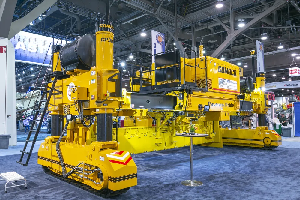
    An array of new systems are being made available for concrete slipforming and compaction duties
  • The Cat D4 dozer pushes the limit
    October 18, 2022
    Recent updates to Caterpillar’s ever-popular D4 dozer ensure improved sight lines and reduced operating costs. But the broad choice of Caterpillar technology helps operators of every skill level meet their production targets faster and more accurately.
  • Ground control to mining truck offers efficiency gains
    June 19, 2015
    Autonomous and remote control machines are not about to take over the world, but they can provide efficiency gains and savings in some operations – Colin Sowman writes The thought of autonomous machines may conjure up visions of an Orwellian future where society works for the ‘common good’ defined by an all-powerful being and in which people are insignificant in terms of their needs, aspirations and physical wellbeing; of machines that relentlessly carry out their task regardless of anybody or anything that