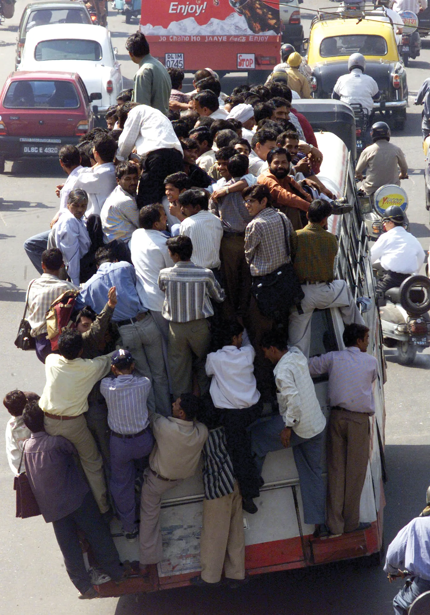
Concern is being expressed at the rapid rise in road deaths in Myanmar. The road fatality rate has increased substantially in recent years, as has the number of vehicles on the country’s road network. In the period from 2009-2014, the number of registered vehicles in Myanmar more than doubled. And in 2014 the World Health Organisation highlighted its concern that Myanmar’s road death rate had more than tripled in less than 10 years.
According to official data, Myanmar had over 15,000 road crashes, 25,000
Concern is being expressed at the rapid rise in road deaths in Myanmar. The road fatality rate has increased substantially in recent years, as has the number of vehicles on the country’s road network. In the period from 2009-2014, the number of registered vehicles in Myanmar more than doubled. And in 2014 the World Health Organisation highlighted its concern that Myanmar’s road death rate had more than tripled in less than 10 years.
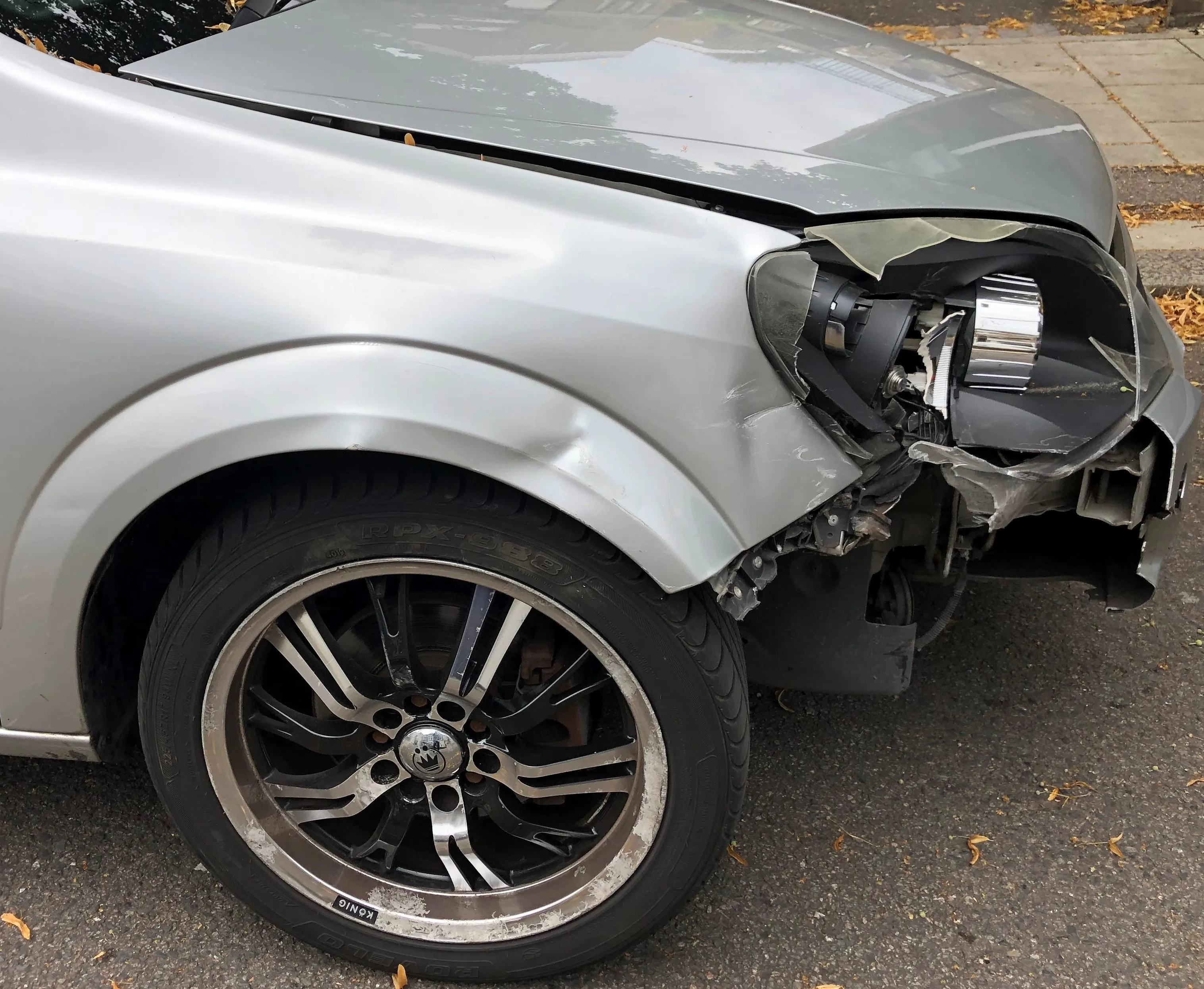
According to official data, Myanmar had over 15,000 road crashes, 25,000 injuries and 4,000 road deaths in 2015. Rangoon, Mandalay, Pegu and Irrawaddy had the highest casualty rates. Key safety issues include a widespread failure to use helmets while riding motorcycles or seatbelts when in cars. Driving under the influence, using cellphones at the wheel and speeding are also known to be major causes of crashes in the country.
According to official data, Myanmar had over 15,000 road crashes, 25,000 injuries and 4,000 road deaths in 2015. Rangoon, Mandalay, Pegu and Irrawaddy had the highest casualty rates. Key safety issues include a widespread failure to use helmets while riding motorcycles or seatbelts when in cars. Driving under the influence, using cellphones at the wheel and speeding are also known to be major causes of crashes in the country.