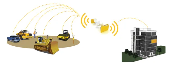
The digitisation of the construction process will give greater transparency on costs at the site and ultimately lead to improved productivity and efficiency in the industry, said Johan Arnberg, president of
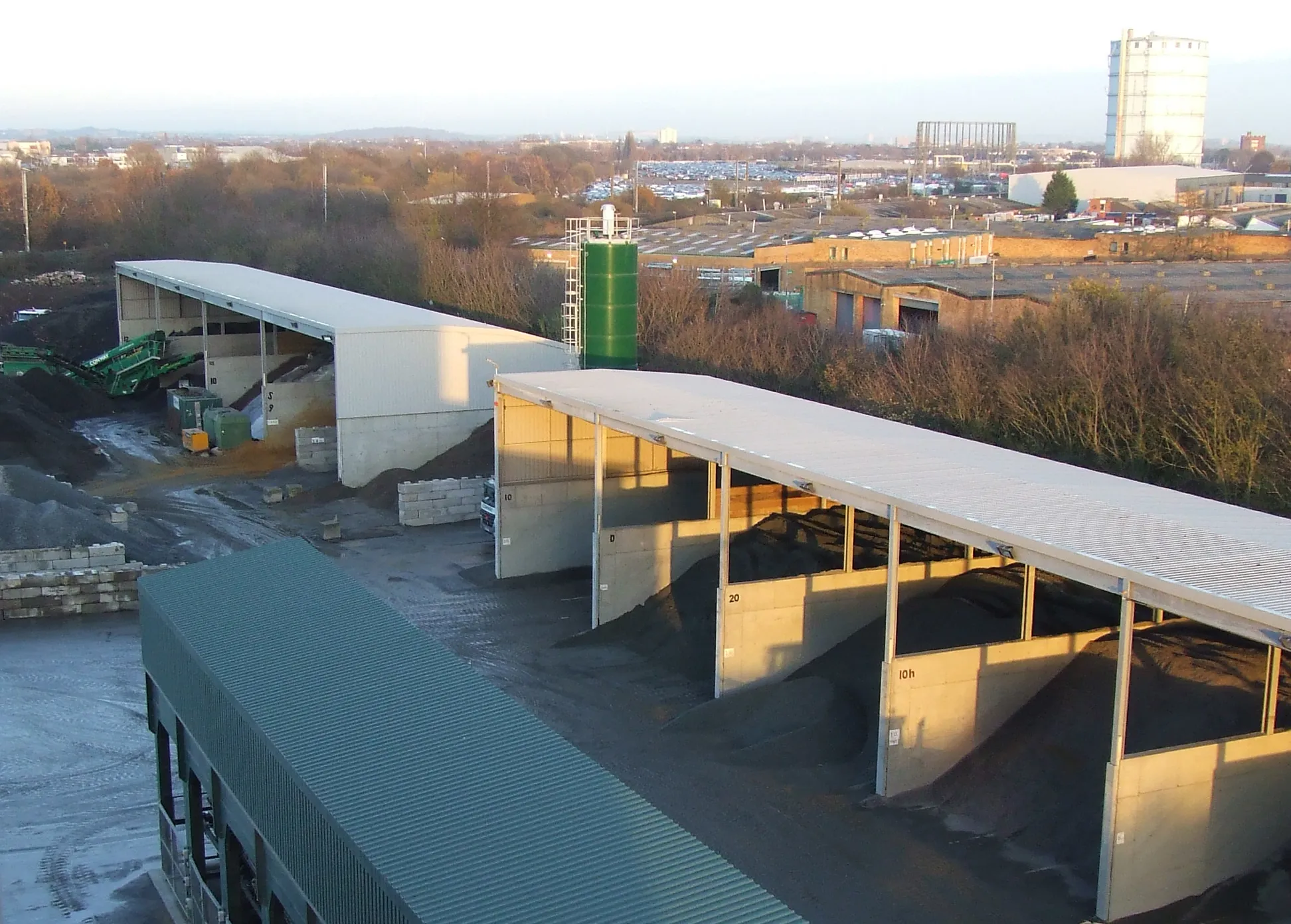
The major cost of construction projects tends to be in the execution phase.
Digitisation will provide the data for projects to be planned more carefully and in more detail. As a result, the planning phase may become longer, but the execution phase will be shorter through greater efficiency and less mistakes, said Arnberg.
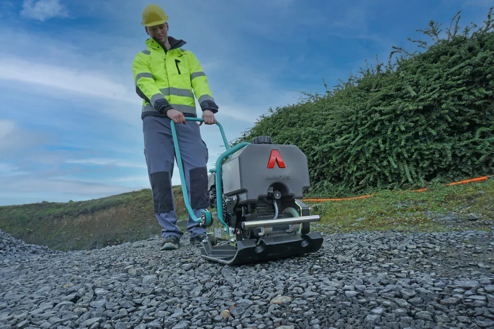
A concern often raised in discussions of digitisation is that machines and tools will become too complex for operators. Arnberg countered this by explaining that although Leica had started out as an engineering-led company, it had transformed itself into a customer-led company, so operators have an important input into the development of its products. Katherine Broder, vice-president, Leica Geosystems Tools Division, agreed that tools need to be simple for operators and said that Leica had been working towards this for the past seven years. Bradley Jacobs, program manager – software for Leica Geosystems Machine Control Division, added that the company hides the complexity of its technology behind simple user interfaces.
Digitisation is likely to happen at different rates in different countries, said Sten Kristensen, director of product management for Leica Geosystems Machine Control Division. There needs to be an underlying infrastructure in place that can support digital machines and tools, and this is at different stages in different regions. Progress is likely to be rapid in areas such as Scandinavia, the UK and Japan.