EarthSense and Tantalum in UK project to cut road air pollution

Air quality specialist EarthSense is working with Oxfordshire County Council in England and connected vehicle company Tantalum to understand road traffic’s impact on air quality. Council fleet vehicles are being fitted with EarthSense’s Zephyr air quality measuring sensors that give real-time data on vehicle emissions and air quality along the route. The data collected by EarthSense will be used to coordinate traffic light control in an attempt to mitigate road congestion and, therefore, air pollution.
June 29, 2018 Read time: 2 mins
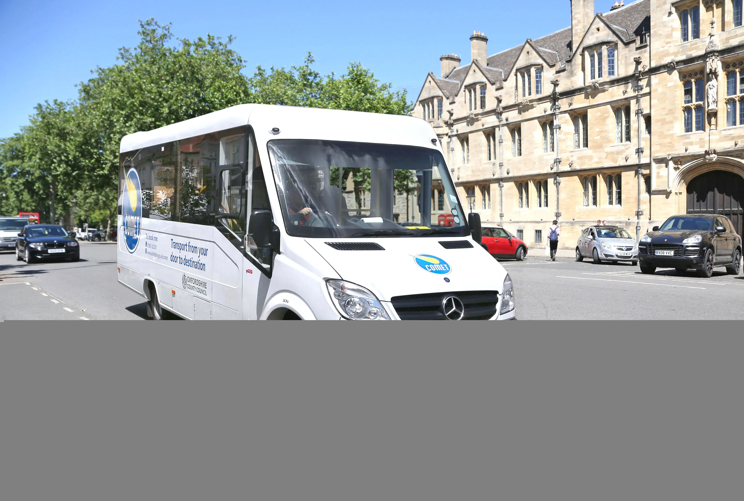
Sniffer van: air monitoring sensors from EarthSense are being used by Oxfordshire County Council in the UK

Air quality specialist EarthSense is working with Oxfordshire County Council in England and connected vehicle company Tantalum to understand road traffic’s impact on air quality.

Council fleet vehicles are being fitted with EarthSense’s Zephyr air quality measuring sensors that give real-time data on vehicle emissions and air quality along the route. The data collected by EarthSense will be used to coordinate traffic light control in an attempt to mitigate road congestion and, therefore, air pollution.

The data will also be used by the county council for its work with Oxford City Council as the historic city prepares for its Zero Emission Zone.

In addition to the use by Oxfordshire, data from the EarthSense Zephyr sensors will also be used by Tantalum for a study is it doing with Imperial College in London. The goal is to refine traffic emission models within Tantalum’s collaborative Air.Car project.

Air.Car project, too, looks at the relationship between levels of traffic and air pollution along roads. The models will also propose solutions to cut pollution, such as  a clean routing app for taxis as well as smart, fair and affordable enforcement schemes for local authorities, such as Oxfordshire.

“It is essential to obtain accurate measurements in order to understand and solve air quality problems,” said Tom Hall, managing director of EarthSense, a joint venture between aerial mapping company Bluesky and the University of Leicester, both in the UK.

“This project will demonstrate how the best available technologies, including the EarthSense Zephyr sensors and services from Air.Car, can provide solutions to improve air quality.”

Related Content

  • TRL delivers its vision
    July 31, 2012
    The UK's world-renowned TRL (Transport Research Laboratory) is celebrating its 75th birthday this year, and the objective of its work has not changed In 1938 Richard Stradling, director, wrote that "the objective of all the research work at RRL [now TRL] is to accumulate that body of scientific knowledge which is an essential factor in the economical and efficient construction and maintenance of our roads. Practical application of the results must be the aim throughout." While TRL's remit today is far more
  • Cutting congestion in LA?
    June 4, 2019
    A new proposal has been put forward for Los Angeles suggesting that a congestion charging scheme be introduced to help tackle the city’s transport woes. According to the CEO of the Los Angeles Metro system, the revenue from the congestion charge for drivers could then be used to allow people to use the city’s transit system for free. Many US cities depend heavily on road transport for carrying goods and commuting. However as many inhabitants and visitors to Los Angeles can attest, the sprawling city and it
  • Tackling the UK's traffic congestion
    February 28, 2012
    The biggest problem on UK roads is congestion, and there is no shortage of ideas as to how it should be tackled. Patrick Smith reports. Congestion (and how to relieve it), along with safety, are among the top priorities facing those responsible for looking after the UK's roads. Road pricing, car-share lanes, greener vehicle initiatives and alternative methods of transport such as buses, trams and rail are all part of the approach, but prior to the current economic climate the nation's love affair with the c
  • VIDEO: Telstra drone LIDAR maps Melbourne’s EastLink Mullum Tunnel
    April 13, 2018
    One of the applications for LIDAR is to make high resolution 3-D maps. Self-driving cars are pre-loaded with a LIDAR map of the trials area in which they are permitted to fully self-drive themselves. The cars also have their own LIDAR scanner which captures a real-time LIDAR view of the vehicle’s surroundings. The fully autonomous driving system within these prototype cars compares the real-time LIDAR view against the pre-loaded LIDAR map to significantly increase the accuracy of their self-positioning