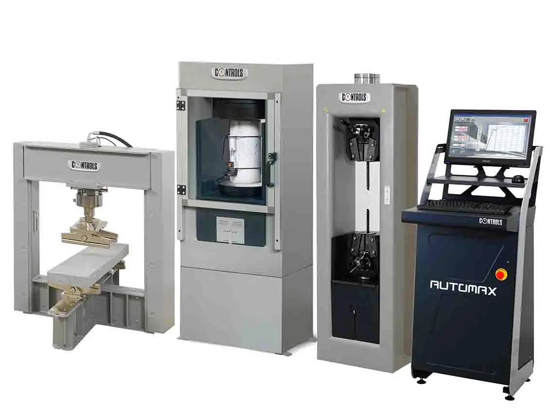
From GSSI comes the sophisticated LineTrac GPR system, an accessory to the UtilityScan systems employing either the DF or HS antennas.
The LineTrac allows users to detect AC power and induced RF energy present in buried utilities. By combining GPR data with a radio detection sensor, GSSI’s LineTrac accessory is capable of detecting low amplitude AC signals.
LineTrac employs a three-axis 50/60 Hz magnetometer that is used to locate powered and non-powered utilities with accurate, dependable and repeat
From 8095 GSSI comes the sophisticated LineTrac GPR system, an accessory to the UtilityScan systems employing either the DF or HS antennas.
The LineTrac allows users to detect AC power and induced RF energy present in buried utilities. By combining GPR data with a radio detection sensor, GSSI’s LineTrac accessory is capable of detecting low amplitude AC signals.
LineTrac employs a three-axis 50/60 Hz magnetometer that is used to locate powered and non-powered utilities with accurate, dependable and repeatable performance.
The firm says that LineTrac aids in target discrimination and detection of difficult-to-locate utilities, and features simple integration with UtilityScan systems and their resulting GPR data. LineTrac also features a rugged enclosure for long service life in harsh conditions.