
Yotta offers efficient winter maintenance

Yotta has developed sophisticated tools for winter highway maintenance. This technology can help local authorities to make better use of the Horizons visualised asset management software to assess potential winter maintenance works. The system provides a proactive approach that allows highways departments to address assets that are at risk from rain, snow and ice. The firm claims that this can help highways departments to deal with wet and icy conditions. Winter road damage is a great concern to Coun
August 18, 2015 Read time: 2 mins
The new Horizons toll from Yotta allows better use of resources for winter road maintenance
8110 Yotta has developed sophisticated tools for winter highway maintenance. This technology can help local authorities to make better use of the Horizons visualised asset management software to assess potential winter maintenance works.

The system provides a proactive approach that allows highways departments to address assets that are at risk from rain, snow and ice. The firm claims that this can help highways departments to deal with wet and icy conditions.

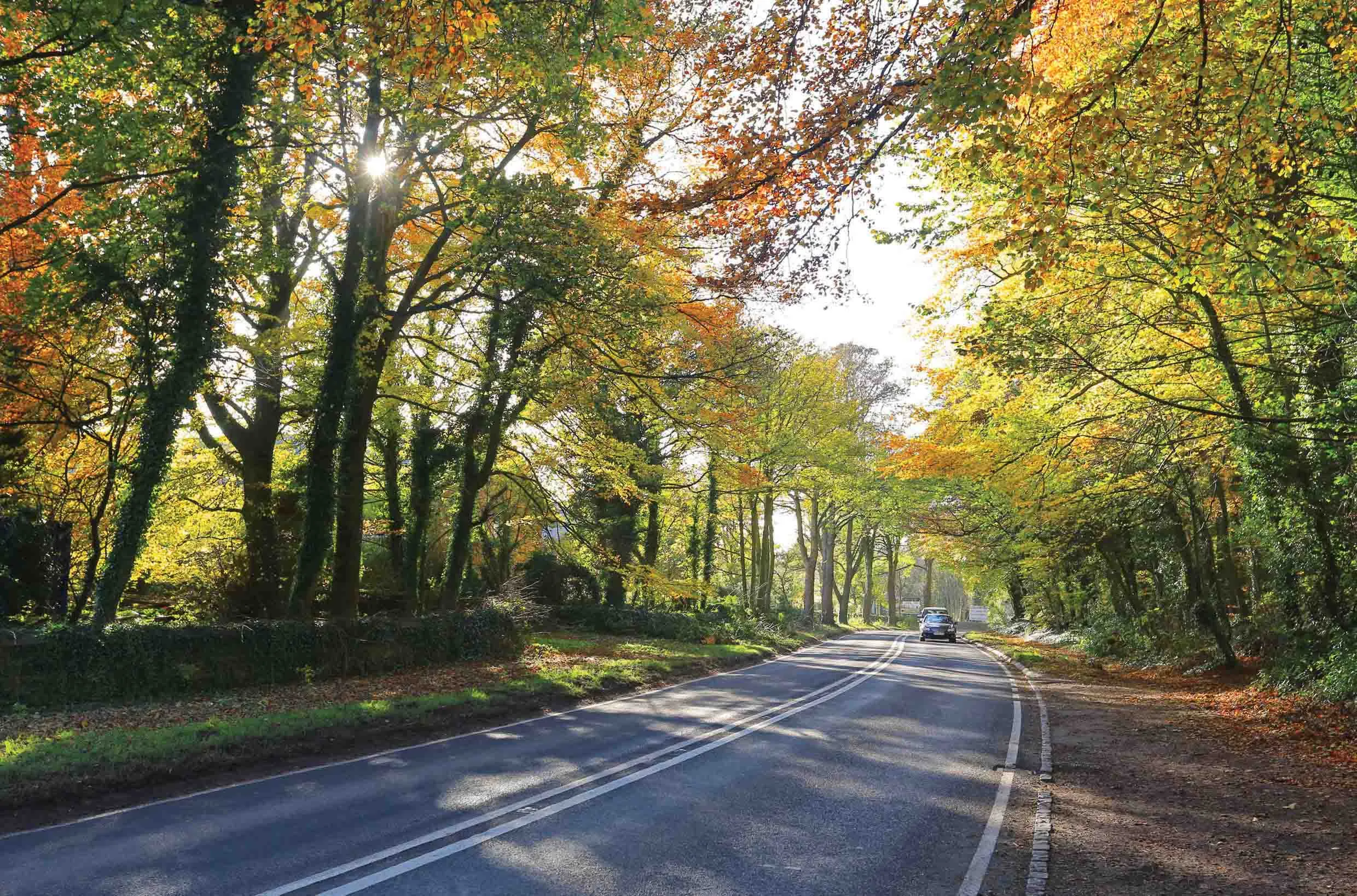
Winter road damage is a great concern to Councils, particularly as they remain subject to austerity measures. For example, the Local Government Association (LGA) estimated that the bad winter of 2013 caused €1.387 billion (£1 billion) of damage to UK roads. With budgets shrinking, there is a need to make best use of available sources. In addition to providing a tool for proactively managing winter maintenance schemes, the firm said that Horizons can also analyse the overall impact of winter weather on their networks, target future schemes and choose the most appropriate and cost-effective treatment possible.

In addition, the product comes in useful for reviewing road-surface treatments to help build resilience ahead of the winter. For example, the software can map winter gritting routes and salt-bin locations and use the information with pavement data. The information is readily available to all departments that have an interest in the network, including call centres dealing with enquiries from the public.

For more information on companies in this article

Related Content

  • A virtual virtuous circle
    January 18, 2021
    Virtual sensors will allow a safer driving experience and reduce road maintenance costs. Tactile Mobility’s Eitan Grosbard talks to David Arminas
  • Highways: environmental problem or environmental enhancement?
    March 21, 2016
    Highways need not be a blight on the countryside that many people, urban planners included, believe they will always be. By Bram Miller, director, and Martin Broderick, environmental consultant, at Ramboll Environ While the world’s highway networks bring undoubted economic and social benefits, they are generally perceived to lead to negative environmental impacts. Some may consider this an unfair reputation, but it is difficult to argue that in the majority of cases both the construction and operation of
  • Road and runway repair success
    July 2, 2012
    Fugro Aperio says it is improving the quality of road and airport runway repair techniques using its sophisticated ground penetrating radar (GPR) technology. The firm is now able to offer a combination of real time kinematic (RTK) GPS with multi channel radar systems due to partnerships with Yotta in the UK, and Pavement Management Services in Australia and the Middle East. This sophisticated package enables pre-planning of surveys, quicker execution and better positioning for more precise mapping of defect
  • Bluesky Aerial Mapping sees the trees and not the forest
    February 6, 2017
    Scientists at the University of Lancaster in England are using 3D data produced by Bluesky to refine a tree failure-risk model Pinpointing trees that might collapse onto roads and other infrastructure currently uses complex wind analysis techniques to assign a level of risk to individual trees. The data is Bluesky’s UK National Tree Map, laser mapped 3D height models, colour infrared (CIR) data and soil data. It will help identify individual trees and their proximity to roads as well as electricity insta