
XenomatiX launches XenoTrack Dual Lane

XenoTrack Dual Lane surveys two neighbouring lanes in a single pass while the survey vehicle drives in one lane.
By David Arminas March 6, 2023 Read time: 2 mins
Two lanes better than one: the XenoTrack Dual Lane system is set up in no time and the measurement vehicle can drive faster than 70kph

The latest version of XenomatiX’s road lidar XenoTrack inspection system covers two lanes in one pass.

XenoTrack Dual Lane was officially launched this month at GeoWeek, a major event for the geospatial and 3D sector that took place in the US city of Denver.
 
XenomatiX, a solid state lidar company specialising in road asset management and digital twins of roads, launched the XenoTrack Single Lane system last year. Now, the company says that with the Dual Lane system, it “took a step-in easing 3D pavement measurement”.

Traditional road assessment systems are limited to measuring the width of one or part of a road lane on each pass. But XenoTrack Dual Lane surveys two neighbouring lanes in a single pass. While the vehicle drives in one lane, the system simultaneously measures the road surface condition of that lane and the neighbouring lane.

All XenoTrack products including the Dual Lane system, use a highly accurate lidar as main component, offering 3D and intensity maps of the road surface.

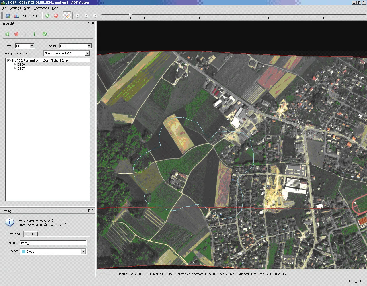
Additionally, 2D RGB camera images can complement the 6D Road Survey concept. The RGB colour model is an additive colour model in which the red, green and blue primary colours of light are combined to reproduce a broad array of colours. The name of the model comes from the initials of the three additive primary colours - red, green and blue.

Both the Single Lane and the Dual Lane systems fit on any standard vehicle, saving the customer having to invest in expensive and dedicated survey vehicles. The XenoTrack system is set up in no time and the measurement vehicle can drive faster than 70kph, further increasing the efficiency of the surveys.

XenomatiX’s solid state lidars are based on a multi-beam lasers concept and mature, scalable semiconductor technology. The company’s main product lines consist of XenoTrack and XenoLidar. XenoTrack collects and processes a wide range of data to enable applications like digitising the road, IRI (International Roughness Index), rutting analysis and more.

The company is based in Leuven, Belgium, and employs about 50 employees in Belgium, Germany, US and China with a distribution network around the world.

For more information on companies in this article

Related Content

  • Positioning tools continue to improve
    July 16, 2012
    Topcon says that its new IP-S2 package combines GNNS positioning capabilities with inertial sensors, while the firm also has a solution for customers wanting to mix and match receiver components. The IP-S2 is a vehicle-mounted, mobile 3D tool that offers precision mapping and surveying capabilities. The package collects data using 3D laser scanners, LIDAR, and/or cameras, and this is then integrated, time-stamped and geo-referenced. The customer can use this assembled data to combine LIDAR point cloud and d
  • Data collection key to software developments
    February 13, 2012
    The collection and handling of data are key technology drivers in the software sector. New methods of data collection and manipulation are driving significant developments in software at present. The latest technology allows designers and engineers to collect, store and manipulate ever larger amounts of data. Growing use of mobile field equipment for both data collection and field management is driving interactive systems. And in an interview this month Autodesk senior vice-president for the construction an
  • ARRB Systems' network-level continuous friction testing
    November 20, 2024
    Pavement safety assessments have traditionally focused on discrete low-density friction assessments using proven technology. But more detailed investigations and analysis are now feasible through improved technologies, explains Simon Tetley of ARRB Systems*.
  • Efficient asset management delivers
    April 25, 2013
    Maximising the economic benefit of infrastructure assets can be achieved through delivering better quality maintenance. Increasing utilisation of infrastructure follows on from those assets being in better condition. Clearly by tracking infrastructure condition closely, huge gains can be made in addressing technical issues before they become more serious and more costly, as well as minimising disruption. In UK city Birmingham, high resolution aerial photography from Bluesky is helping the city council under