XenomatiX boosts its road scanning solution

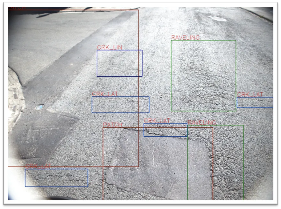
An additional 14 types of road distress can be measured, including cracks, bleeding and raveling.
By David Arminas September 29, 2023 Read time: 2 mins
Seeing is believing: with one lidar system and camera installed on any vehicle, XenomatiX measures and collects data on the condition of the pavement (image courtesy of XenomatiX)

XenomatiX has added to its road scanning solution the capability to detect, with 95% accuracy, up to 14 types of road cracks. The company says this makes its road scanning services a full comprehensive solution for road inspection.

With one lidar system and camera installed on any vehicle, XenomatiX already measures and collects, in one go, data on the condition of the pavement. This includes evenness indexes such as IRI and rutting, road markings and potholes.

Now, an additional 14 types of road distress can be measured, including different types of cracks, bleeding and raveling. This facilitates an efficient road monitoring process allowing road owners to increase their productivity, by saving time in the field and in budget.

The company has developed two key solid-state lidar products to enhance safer roads, the XenoTrack, road lidar for cost-effective road management and XenoLidar for enabling autonomous vehicle. In the future of autonomous cars, XenomatiX inspires to achieve a fully digitised road system where every vehicle in the road is continuously collecting road condition data and feeding this back to city councils who can address the infrastructure needs and challenges for safer roads.

XenomatiX, based in the Belgian city of Leuven, designs solid state lidars based on a multi-beam laser concept and scalable semiconductor technology with different product lines to serve different industries and applications. The company’s products have been recognised by international competition programmes such as the IRF GRAA award and the CES Innovation Award.

XenomatiX employs around 50 people in Belgium, Germany, US and China and has a global distribution network. 

For more information on companies in this article

Related Content

  • LiDAR surveying is making inroads into asset management
    December 18, 2017
    In the coming age of the autonomous vehicle, fast and accurate LiDAR surveying will be increasingly important, explains Valdis Vanags. The game-changing introduction of autonomous vehicles relies not only on intelligent traffic systems but well maintained roads to help computer-guided systems navigate using road markings. Laser scanning technology, too, is a game changer when it comes to planning and executing many civil engineering projects, including transport network upgrades and smart city initiatives.
  • A virtual virtuous circle
    January 18, 2021
    Virtual sensors will allow a safer driving experience and reduce road maintenance costs. Tactile Mobility’s Eitan Grosbard talks to David Arminas
  • Brisbane’s Airport: Innovative Management of One of the World’s Busiest Runways
    June 26, 2014
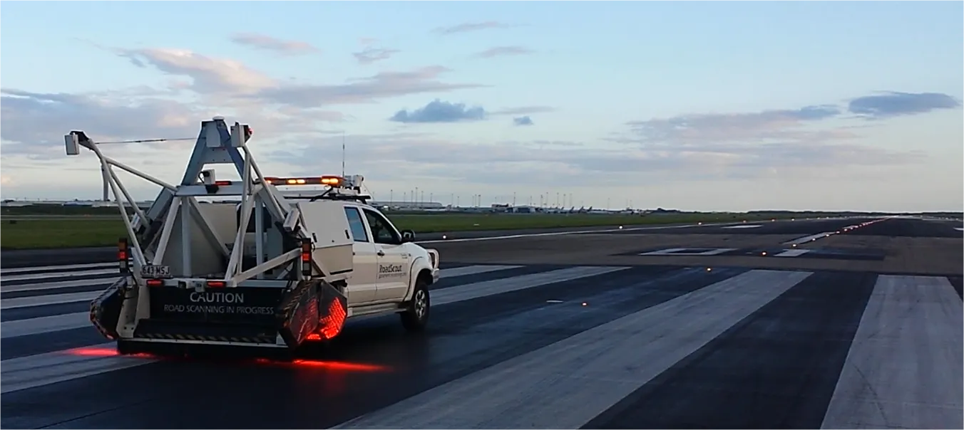
    When it comes to runways, there are few busier then Brisbane’s main runway. Servicing both domestic and international travel, with over 200,000 movements per year, operating without a curfew Brisbane’s main runway is the busiest in Australia. For maintenance, crews only have a limited period of time to determine the pavement condition, normally during the night, making the detection of pavement faults difficult. To resolve this issue, a new high speed pavement scanner was used to rapidly survey the pavem
  • Mobile mapping innovation
    June 1, 2022
    There are millions of kilometres of roads and features that need to be mapped in today’s world. We see a strong vision and application for the future, therefore Leica Geosystems, part of Hexagon, recently announced the introduction of the reality capture mobile mapping system Leica Pegasus TRK, introducing artificial intelligence, autonomous workflows and intuitive interfaces. This technology goes beyond the capabilities of what’s already been done, making it the perfect companion for today’s mobile mapping requirements.