Get the real picture with Image Logger

RoadBotics has placed time-stamped geo-spatial images on GIS-enabled maps.
By David Arminas July 31, 2020 Read time: 2 mins
Image Logger, the first product in the company’s cloud-based RoadWay Operating System online platform

RoadBotics is announcing the addition of Image Logger to its growing suite of products to help communities digitise assets such as roads, sidewalks and trails.

The company, based in Pittsburgh in the US state of Pennsylvania, said the technology places time-stamped geo-spatial image data on a GIS-enabled map. The result allows local authorities to view all public assets on one platform - from a desk or out in the field.

“The Image Logger is a great addition to our existing products and tools for road and infrastructure management,” said Matt Lucas, head of product at Roadbotics. “It helps our clients to better administer their assets while saving valuable resources.”

RoadBotics - known for automated pavement assessments using a smartphone for data collection –users can collect data on roads and adjacent assets such as signage and public right of ways including sidewalks, bike trails and walking paths. Whether collected monthly, seasonally or before and after maintenance projects, up-to-date data is invaluable for asset management.

The Image Logger  was released in early June as the first product for the company’s new RoadWay Operating System, a cloud-based online platform. RoadWay OS helps governments manage and administer their public infrastructure asset data in one central location. “Image Logger accomplishes that objective by the ease of use and breadth of data available,” said Benjamin Schmidt, president and co-founder of RoadBotics.

Roadway OS is also available to outside consultants and professionals who help governments maintain infrastructure, whether this is managing tactical day-to-day operations or enhancing strategic planning.

Related Content

  • Rapid replacement of multiple bridges – the plan
    December 14, 2017
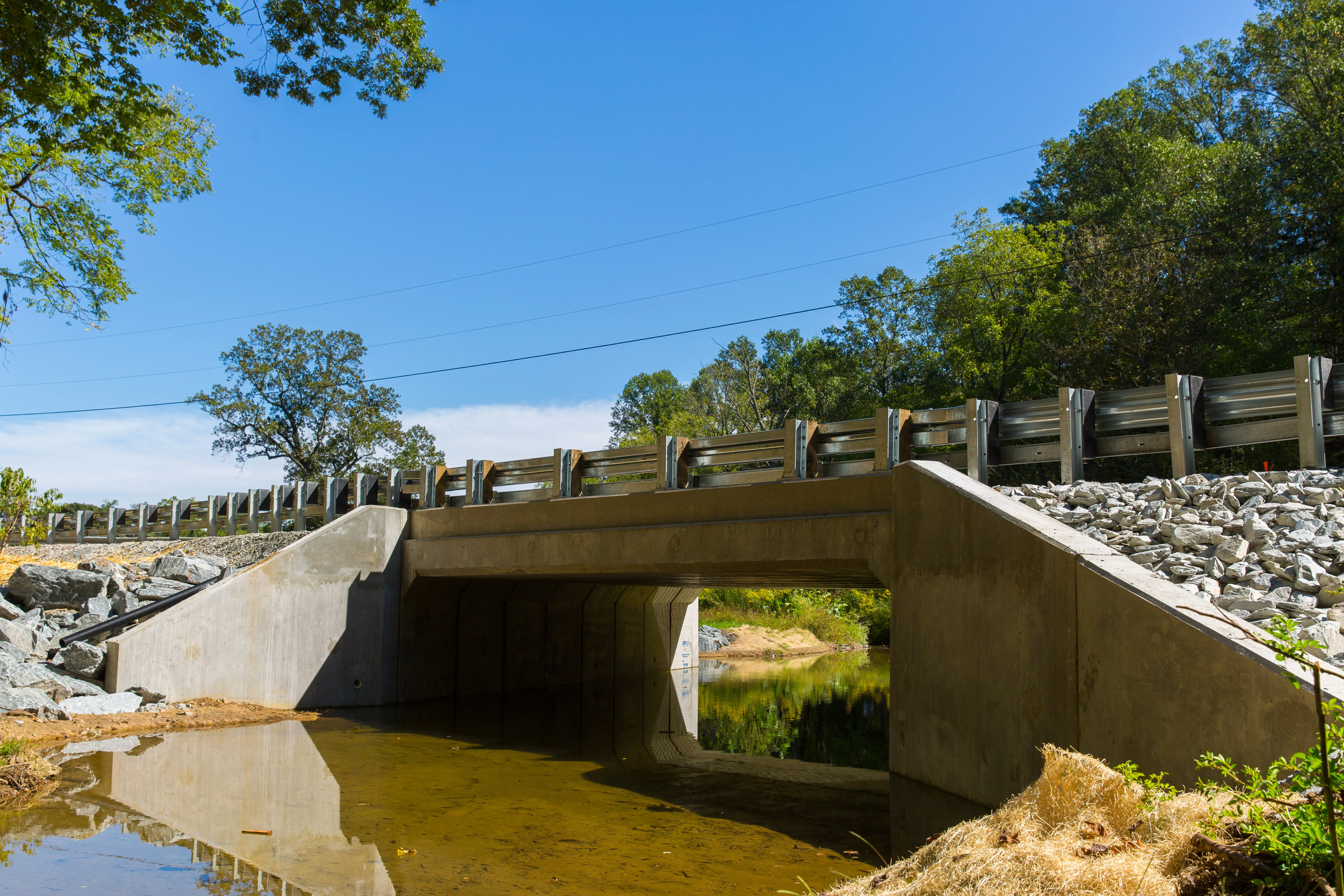
    The US State of Pennsylvania is saving itself $220 million over 10 years on a programme to replace 558 bridges with an unusual public private partnership approach - Kristina Smith writes It is called the Rapid Bridge Replacement Programme with good reason. Pennsylvania’s Department of Transport, PennDOT, wants to see no less than 558 structurally deficient bridges replaced with newly designed and constructed ones, all within four years. Using traditional forms of procurement this programme would be like
  • Weigh in motion technology reduces road damage
    February 8, 2012
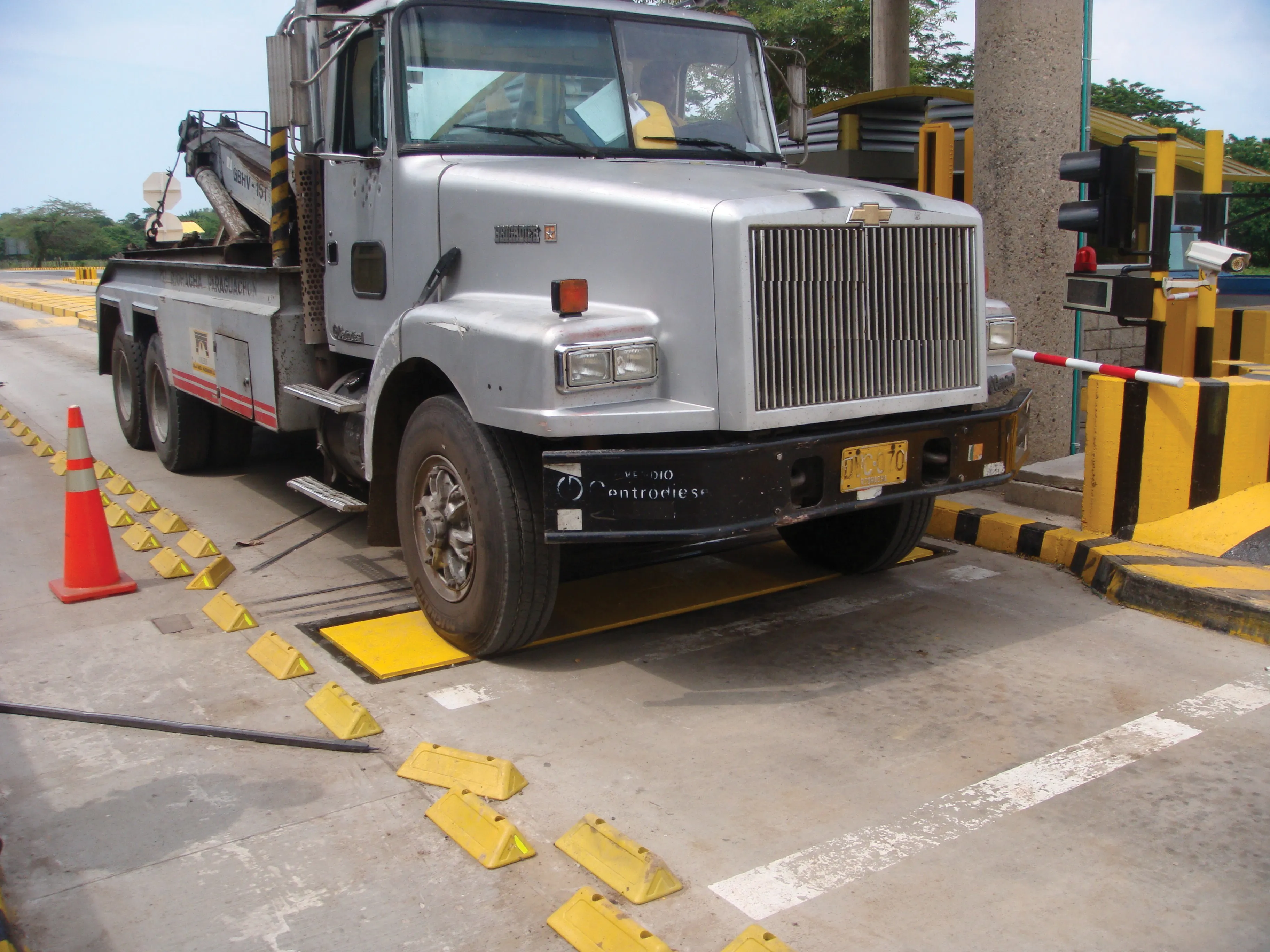
    Overweight vehicles cause enormous damage to road structures but they can be caught, even at high speed. Weigh-in-motion or WIM devices are designed to capture and record axle weights and gross vehicle weights as vehicles drive over a measurement site.
  • Bentley and Trimble announce modelling cooperation
    January 6, 2015
    In London and Las Vegas, the message was the same. Trimble, a surveying systems and software developer, and Bentley jointly announced they will pool their resources for product development. The announcement by Bentley in London was made at the same time as Trimble who gave details of the collaboration to attendees at its annual conference in Las Vegas, in the US. Trimble, based in Sunnyvale, California, develops positioning technologies, such as GPS, lasers and optics as well as software content specifi
  • Hamm’s Dr Stefan Klumpp explains future of autonomous compaction
    December 20, 2016
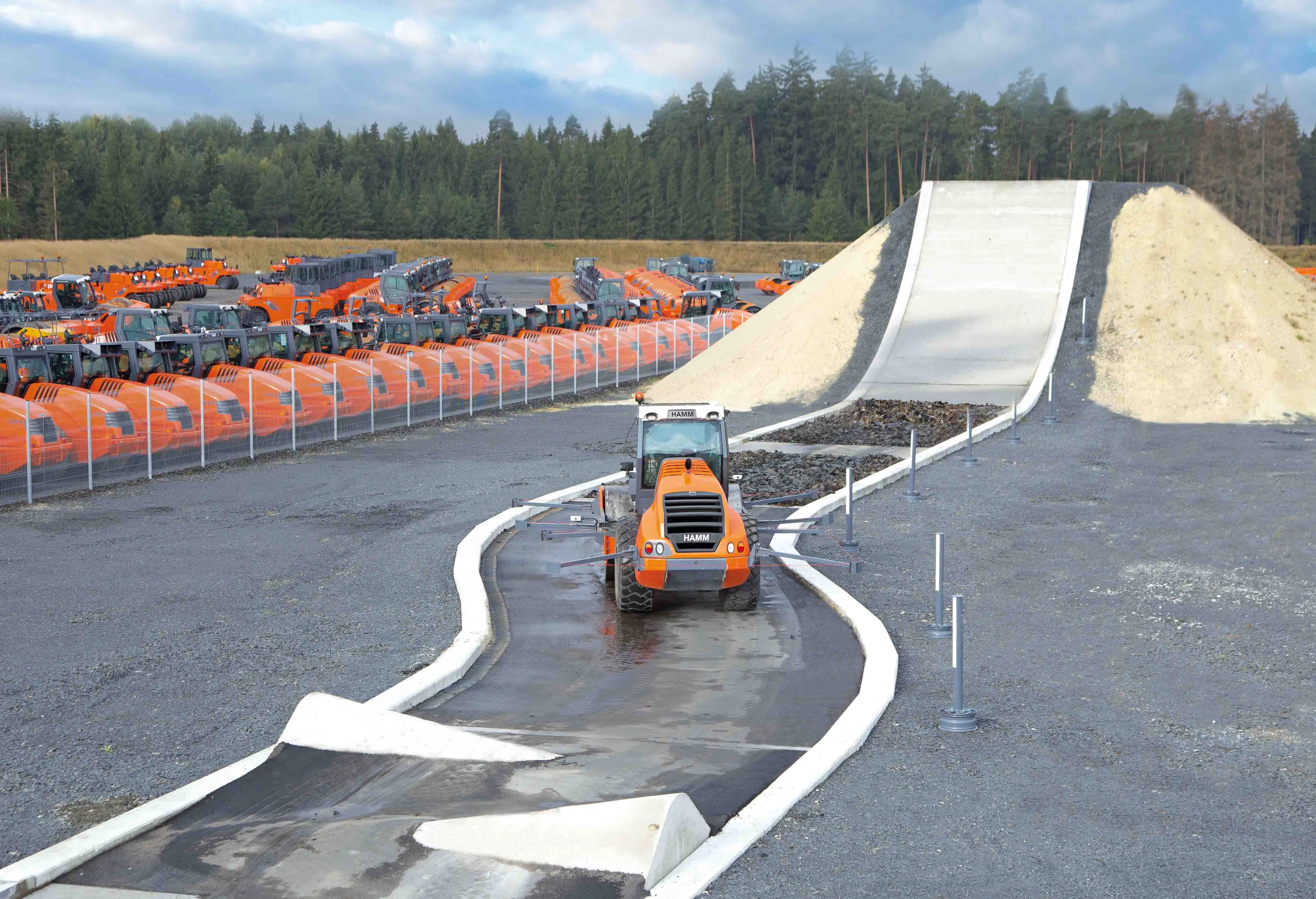
    Autonomous vehicles that can move around without human intervention are not yet a part of everyday life, but they are almost within reach.