Get the real picture with Image Logger

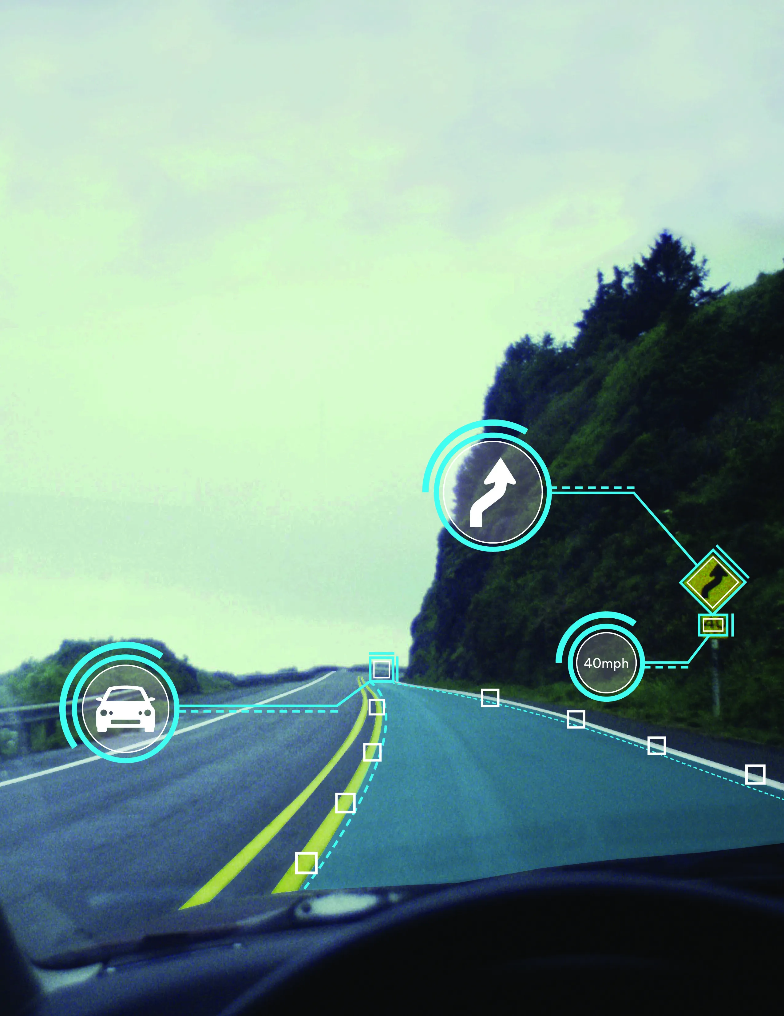
RoadBotics has placed time-stamped geo-spatial images on GIS-enabled maps.
By David Arminas July 31, 2020 Read time: 2 mins
Image Logger, the first product in the company’s cloud-based RoadWay Operating System online platform

RoadBotics is announcing the addition of Image Logger to its growing suite of products to help communities digitise assets such as roads, sidewalks and trails.

The company, based in Pittsburgh in the US state of Pennsylvania, said the technology places time-stamped geo-spatial image data on a GIS-enabled map. The result allows local authorities to view all public assets on one platform - from a desk or out in the field.

“The Image Logger is a great addition to our existing products and tools for road and infrastructure management,” said Matt Lucas, head of product at Roadbotics. “It helps our clients to better administer their assets while saving valuable resources.”

RoadBotics - known for automated pavement assessments using a smartphone for data collection –users can collect data on roads and adjacent assets such as signage and public right of ways including sidewalks, bike trails and walking paths. Whether collected monthly, seasonally or before and after maintenance projects, up-to-date data is invaluable for asset management.

The Image Logger  was released in early June as the first product for the company’s new RoadWay Operating System, a cloud-based online platform. RoadWay OS helps governments manage and administer their public infrastructure asset data in one central location. “Image Logger accomplishes that objective by the ease of use and breadth of data available,” said Benjamin Schmidt, president and co-founder of RoadBotics.

Roadway OS is also available to outside consultants and professionals who help governments maintain infrastructure, whether this is managing tactical day-to-day operations or enhancing strategic planning.

Related Content

  • High-tech, high places: 3M in US and MetService in New Zealand
    August 1, 2017
    The US state of Michigan sets up a high-tech test road while New Zealand’s transport officials buy in some high-tech weather forecasting. The road safety division of 3M will provide the US state of Michigan with lane markings and retroreflective signs for a connected vehicle technologies trial along the I-75 highway. Around 5km of the Interstate 75 work zone in Oakland County will be transformed over the next four months to improve safety for drivers and test advanced vehicle-to-infrastructure technologie
  • Semi-Autonomous Operations Remove Site Risk for Brazilian Contractor’s Crew, Without Missing a Beat on the Jobsite
    February 28, 2022
    Remote operation keeps machine operators out of harm’s way, enabling advanced action in any environment
  • Valerann wins AI European Space Agency deal
    April 25, 2025
    Valerann’s traffic monitoring contract is from ESA’s Business Applications and Space Solutions (BASS) programme which supports services that use space technology and data in markets such as transportation.
  • The European Road Infrastructure Congress 2016: innovative thinking
    October 18, 2016
    ERIC 2016, the first European Road Infrastructure Congress, has called on the region’s governments to come together and work more imaginatively with the private sector to bring about a safer and more effective highway network. Speaking at the congress’ opening ceremony, FIA president Jean Todt said that if the EU is serious about improving its road safety record, it is essential to develop a high quality highway infrastructure as quickly as possible. Todt (who is also the United Nations special envoy