Get the real picture with Image Logger

RoadBotics has placed time-stamped geo-spatial images on GIS-enabled maps.
By David Arminas July 31, 2020 Read time: 2 mins
Image Logger, the first product in the company’s cloud-based RoadWay Operating System online platform

RoadBotics is announcing the addition of Image Logger to its growing suite of products to help communities digitise assets such as roads, sidewalks and trails.

The company, based in Pittsburgh in the US state of Pennsylvania, said the technology places time-stamped geo-spatial image data on a GIS-enabled map. The result allows local authorities to view all public assets on one platform - from a desk or out in the field.

“The Image Logger is a great addition to our existing products and tools for road and infrastructure management,” said Matt Lucas, head of product at Roadbotics. “It helps our clients to better administer their assets while saving valuable resources.”

RoadBotics - known for automated pavement assessments using a smartphone for data collection –users can collect data on roads and adjacent assets such as signage and public right of ways including sidewalks, bike trails and walking paths. Whether collected monthly, seasonally or before and after maintenance projects, up-to-date data is invaluable for asset management.

The Image Logger  was released in early June as the first product for the company’s new RoadWay Operating System, a cloud-based online platform. RoadWay OS helps governments manage and administer their public infrastructure asset data in one central location. “Image Logger accomplishes that objective by the ease of use and breadth of data available,” said Benjamin Schmidt, president and co-founder of RoadBotics.

Roadway OS is also available to outside consultants and professionals who help governments maintain infrastructure, whether this is managing tactical day-to-day operations or enhancing strategic planning.

Related Content

  • Smarter compaction technology in use in Missouri
    October 2, 2018
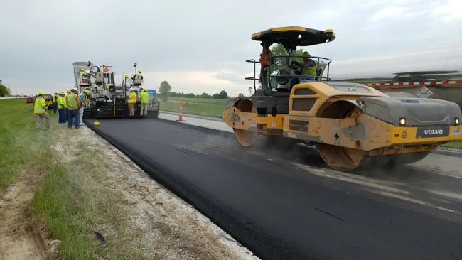
    Intelligent compaction and infrared scanning technologies have been used to improve construction quality The Missouri Department of Transportation (MoDOT) carried out a year-long project throughout 2017 to demonstrate the use of intelligent compaction (IC), infrared scanning (IR), and Veta software to improve pavement construction operations. “We were looking for ways to assess quality in asphalt projects,” said Bill Stone, research administrator at MoDOT. “We are working towards better pavements that l
  • Road recycling train from Wirtgen in Nigeria
    March 9, 2022
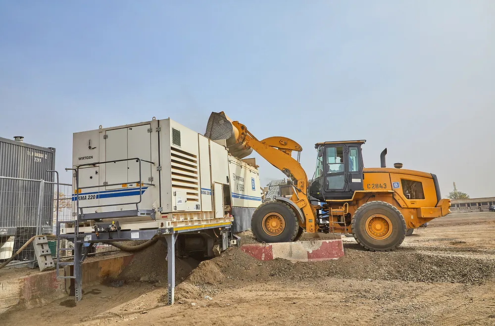
    The Wirtgen Group has worked with Julius Berger Nigeria (JBN) in Nigeria to deliver a landmark project
  • IRF focuses on training issues
    August 28, 2013
    IRF Geneva has a long history of providing cutting-edge educational and professional development facilities and resources specifically targeted to the needs of road sector professionals worldwide In this respect it builds on its tradition as a neutral platform for global exchanges and precision service. A wide range of current opportunities may be found in the Training & Services section of the IRF Geneva website (www.irfnet.ch). Many, including the annual Senior Road Executive courses, need little intro
  • World Road Meeting 2017
    April 16, 2018
    The IRF World Road Meeting 2017 was held recently – World Highways’ India correspondent Partha Pratim Basistha reports The 18th World Road Meeting of the International Road Federation took place between 14-17 November 2017 in the North Indian state of Uttar Pradesh at Greater Noida near India’s capital New Delhi. Close to 1500 delegates and visitors across the world - including India - from the road infrastructure fraternity participated at the global event. The Cross Roads meeting, coinciding with an ex