Get the real picture with Image Logger

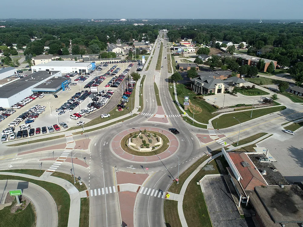
RoadBotics has placed time-stamped geo-spatial images on GIS-enabled maps.
By David Arminas July 31, 2020 Read time: 2 mins
Image Logger, the first product in the company’s cloud-based RoadWay Operating System online platform

RoadBotics is announcing the addition of Image Logger to its growing suite of products to help communities digitise assets such as roads, sidewalks and trails.

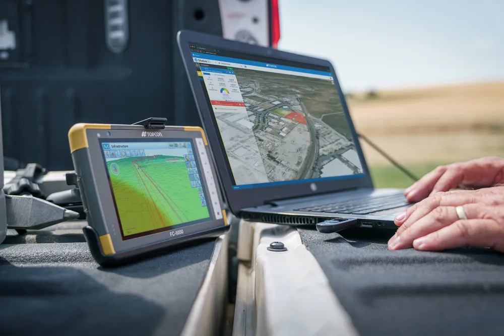
The company, based in Pittsburgh in the US state of Pennsylvania, said the technology places time-stamped geo-spatial image data on a GIS-enabled map. The result allows local authorities to view all public assets on one platform - from a desk or out in the field.

“The Image Logger is a great addition to our existing products and tools for road and infrastructure management,” said Matt Lucas, head of product at Roadbotics. “It helps our clients to better administer their assets while saving valuable resources.”

RoadBotics - known for automated pavement assessments using a smartphone for data collection –users can collect data on roads and adjacent assets such as signage and public right of ways including sidewalks, bike trails and walking paths. Whether collected monthly, seasonally or before and after maintenance projects, up-to-date data is invaluable for asset management.

The Image Logger  was released in early June as the first product for the company’s new RoadWay Operating System, a cloud-based online platform. RoadWay OS helps governments manage and administer their public infrastructure asset data in one central location. “Image Logger accomplishes that objective by the ease of use and breadth of data available,” said Benjamin Schmidt, president and co-founder of RoadBotics.

Roadway OS is also available to outside consultants and professionals who help governments maintain infrastructure, whether this is managing tactical day-to-day operations or enhancing strategic planning.

Related Content

  • Foth Uses Collaborative Digital Engineering to Deliver Road Infrastructure Project
    June 1, 2020
    Foth utilised software from Bentley Systems to improve safety and traffic flow on an urban road stretch in Iowa.
  • Topcon: A revolution in construction technology’s coming
    July 7, 2021
    The construction equipment industry is at a turning point. Topcon’s senior leaders believe that we are about to see a huge surge in the adoption of new construction technologies. The time is ripe as a new, younger and more tech-savvy generation comes to the fore. Governments could save billions, and where does the smartphone fit in?
  • Innovative GIS advances from Bluesky
    July 18, 2012
    Aerial survey specialist Bluesky is funding research into the development and use of a new system to map the UK’s cities and towns at night. Bluesky has teamed up with the University of Leicester to look at solutions using new high sensitivity camera sensor technology. Mounted on survey aircraft, the new system can record the location of street lights, illuminated road signs and other night-time sources of light. This can deliver an accurate resource for asset inventories, light pollution assessment and ene
  • NMIS extends ground protection portfolio with acquisition of Terrafirma Roadways
    December 18, 2013
    Newpark Mats and Integrated Services (NMIS), a unit of Houston, U.S.-based Newpark Resources and among the leading providers of ground protection solutions worldwide, has announced the acquisition of Terrafirma Roadways (TFR). TFR was founded in 2001 to provide temporary roadway and worksite solutions to utility, construction, and event customers throughout the UK. Since 2006, the company has been a strategic partner with Newpark and the exclusive UK distributor of Newpark’s DURA-BASE Advanced-Composite Ma