Get the real picture with Image Logger

RoadBotics has placed time-stamped geo-spatial images on GIS-enabled maps.
By David Arminas July 31, 2020 Read time: 2 mins
Image Logger, the first product in the company’s cloud-based RoadWay Operating System online platform

RoadBotics is announcing the addition of Image Logger to its growing suite of products to help communities digitise assets such as roads, sidewalks and trails.

The company, based in Pittsburgh in the US state of Pennsylvania, said the technology places time-stamped geo-spatial image data on a GIS-enabled map. The result allows local authorities to view all public assets on one platform - from a desk or out in the field.

“The Image Logger is a great addition to our existing products and tools for road and infrastructure management,” said Matt Lucas, head of product at Roadbotics. “It helps our clients to better administer their assets while saving valuable resources.”

RoadBotics - known for automated pavement assessments using a smartphone for data collection –users can collect data on roads and adjacent assets such as signage and public right of ways including sidewalks, bike trails and walking paths. Whether collected monthly, seasonally or before and after maintenance projects, up-to-date data is invaluable for asset management.

The Image Logger  was released in early June as the first product for the company’s new RoadWay Operating System, a cloud-based online platform. RoadWay OS helps governments manage and administer their public infrastructure asset data in one central location. “Image Logger accomplishes that objective by the ease of use and breadth of data available,” said Benjamin Schmidt, president and co-founder of RoadBotics.

Roadway OS is also available to outside consultants and professionals who help governments maintain infrastructure, whether this is managing tactical day-to-day operations or enhancing strategic planning.

Related Content

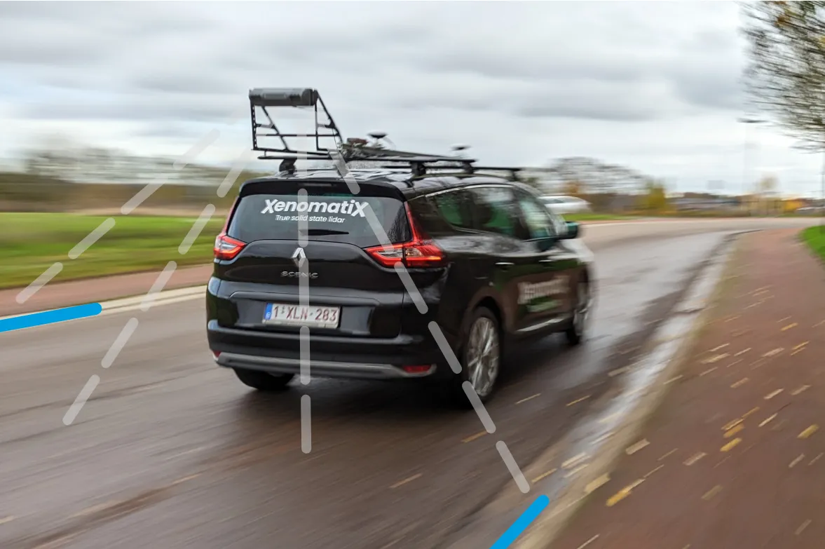
  • XenomatiX launches XenoTrack Dual Lane
    March 6, 2023
    XenoTrack Dual Lane surveys two neighbouring lanes in a single pass while the survey vehicle drives in one lane.
  • Riding the sustainable cycle
    October 5, 2020
    It’s taken a while in North America, but “vehicular cycling” has been replaced by “sustainable cycling”, says transportation engineer Tyler Golly.
  • Highway Procurement: IRF Steps up to the plate to leverage long term value
    May 15, 2019
    Public procurement can be leveraged to deliver long-term value for money, and promote innovation and sustainability, according to a new White Paper published by the International Road Federation in consultation with key international specialists. “When procurement guidelines are not enforced with a high degree of professionalism, there is a much higher risk of sub-optimal delivery,” noted Eric Cook, co-chair of the IRF Committee on Alternative Financing & Procurement, who convened the stakeholders for a h
  • 1Spatial works with Arizona to visualise road changes
    March 8, 2017
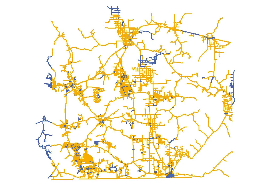
    The department of transportation in the US state of Arizona has automated its data processes, says Duncan Guthrie. In Arizona, the Department of Transportation (ADOT) is improving the way it responds to the demand for information from the Federal Highways Administration (FHWA). ADOT is implementing an automated, repeatable process to simplify and smooth the creation and maintenance of their state-wide dataset. This will meet reporting requirements for ARNOLD - All Road Network Of Linear Referenced Data - an