Get the real picture with Image Logger

RoadBotics has placed time-stamped geo-spatial images on GIS-enabled maps.
By David Arminas July 31, 2020 Read time: 2 mins
Image Logger, the first product in the company’s cloud-based RoadWay Operating System online platform

RoadBotics is announcing the addition of Image Logger to its growing suite of products to help communities digitise assets such as roads, sidewalks and trails.

The company, based in Pittsburgh in the US state of Pennsylvania, said the technology places time-stamped geo-spatial image data on a GIS-enabled map. The result allows local authorities to view all public assets on one platform - from a desk or out in the field.

“The Image Logger is a great addition to our existing products and tools for road and infrastructure management,” said Matt Lucas, head of product at Roadbotics. “It helps our clients to better administer their assets while saving valuable resources.”

RoadBotics - known for automated pavement assessments using a smartphone for data collection –users can collect data on roads and adjacent assets such as signage and public right of ways including sidewalks, bike trails and walking paths. Whether collected monthly, seasonally or before and after maintenance projects, up-to-date data is invaluable for asset management.

The Image Logger  was released in early June as the first product for the company’s new RoadWay Operating System, a cloud-based online platform. RoadWay OS helps governments manage and administer their public infrastructure asset data in one central location. “Image Logger accomplishes that objective by the ease of use and breadth of data available,” said Benjamin Schmidt, president and co-founder of RoadBotics.

Roadway OS is also available to outside consultants and professionals who help governments maintain infrastructure, whether this is managing tactical day-to-day operations or enhancing strategic planning.

Related Content

  • Massenza’s new vision for 2014
    March 12, 2014
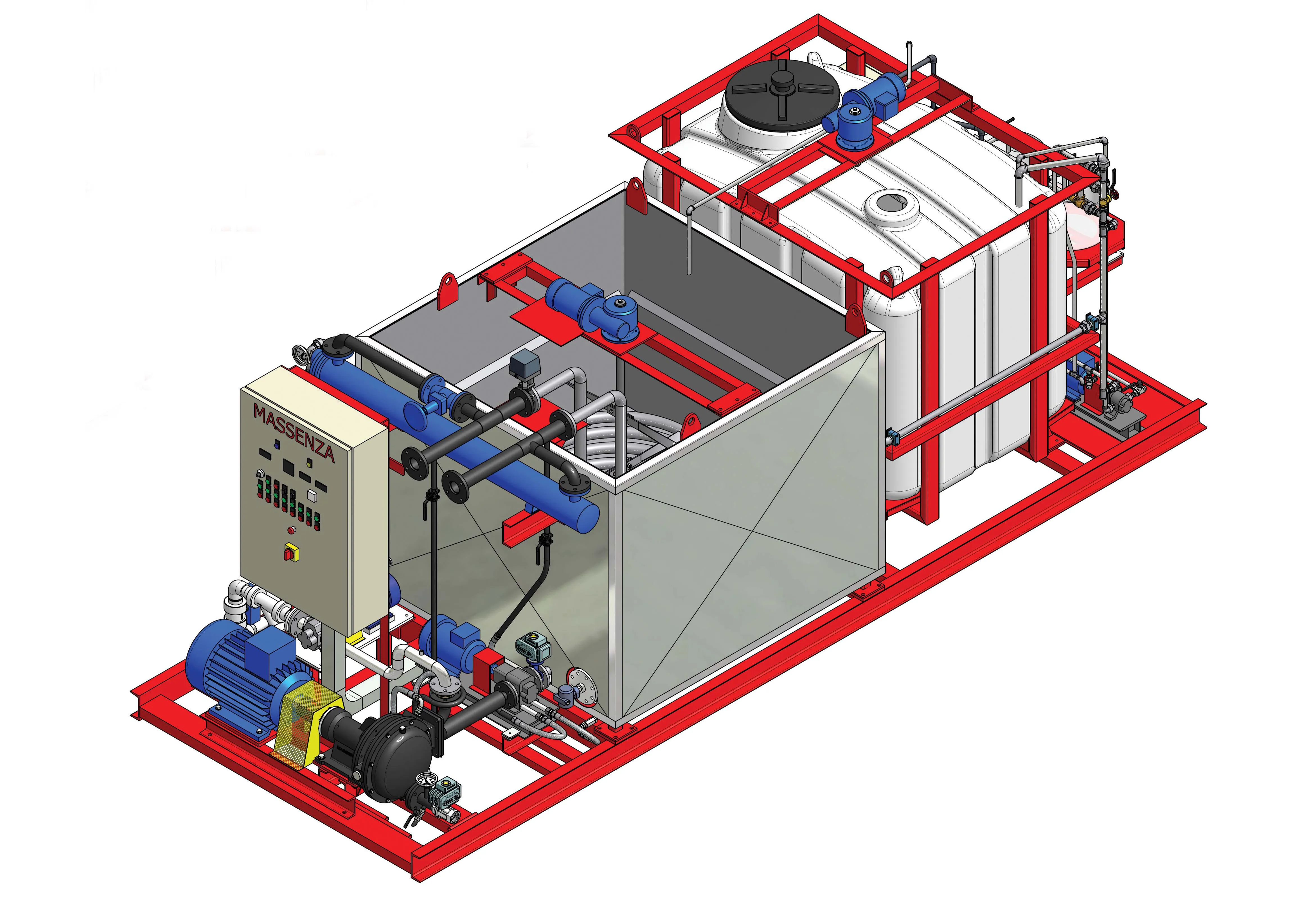
    Massenza has started 2014 with a new approach to its range of bitumen emulsion plants, streamlining its four larger models into two, and adding a smaller plant. This has allowed Massenza to optimise the design and components for each size of plant, which in turn allows the company to offer its customers a more competitive deal. At the same time, Massenza has made three major technical improvements to the plants: a new type of material for the water tank which resists corrosion; a new dosing system for th
  • Smart constructioon with GIS, GPS design technology
    May 2, 2012
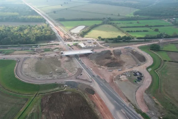
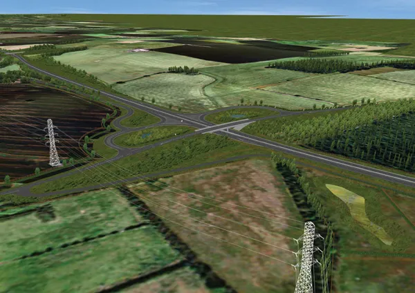
    A UK highway project has benefited from the latest software, GIS and GPS technology, Mike Woof reports. Sophisticated software, GIS and GPS technology has played an important role in a large highway upgrade project in the UK and helping to increase efficiency and drive down construction costs.
  • Smart constructioon with GIS, GPS design technology
    February 16, 2012
    A UK highway project has benefited from the latest software, GIS and GPS technology, Mike Woof reports. Sophisticated software, GIS and GPS technology has played an important role in a large highway upgrade project in the UK and helping to increase efficiency and drive down construction costs.
  • Four Seasons Volvo CE ice-breaking wheeled loaders
    February 20, 2014
    Four Seasons Landscaping is using its fleet of Volvo construction equipment to clear away snow and ice for road using customers across the northeast US coastal state of Connecticut. Connecticut is susceptible to extreme weather – from hot and humid in the summer to snow storms in the winter and temperatures dipping below -10°C. Although it’s the third smallest American state, northern Connecticut gets twice as much snow on average compared to the south. Most snow storms usually bring 12.7cm-20.3cm but on