Get the real picture with Image Logger

RoadBotics has placed time-stamped geo-spatial images on GIS-enabled maps.
By David Arminas July 31, 2020 Read time: 2 mins
Image Logger, the first product in the company’s cloud-based RoadWay Operating System online platform

RoadBotics is announcing the addition of Image Logger to its growing suite of products to help communities digitise assets such as roads, sidewalks and trails.

The company, based in Pittsburgh in the US state of Pennsylvania, said the technology places time-stamped geo-spatial image data on a GIS-enabled map. The result allows local authorities to view all public assets on one platform - from a desk or out in the field.

“The Image Logger is a great addition to our existing products and tools for road and infrastructure management,” said Matt Lucas, head of product at Roadbotics. “It helps our clients to better administer their assets while saving valuable resources.”

RoadBotics - known for automated pavement assessments using a smartphone for data collection –users can collect data on roads and adjacent assets such as signage and public right of ways including sidewalks, bike trails and walking paths. Whether collected monthly, seasonally or before and after maintenance projects, up-to-date data is invaluable for asset management.

The Image Logger  was released in early June as the first product for the company’s new RoadWay Operating System, a cloud-based online platform. RoadWay OS helps governments manage and administer their public infrastructure asset data in one central location. “Image Logger accomplishes that objective by the ease of use and breadth of data available,” said Benjamin Schmidt, president and co-founder of RoadBotics.

Roadway OS is also available to outside consultants and professionals who help governments maintain infrastructure, whether this is managing tactical day-to-day operations or enhancing strategic planning.

Related Content

  • Tarmac goes low-carbon on UK’s A64
    December 20, 2024
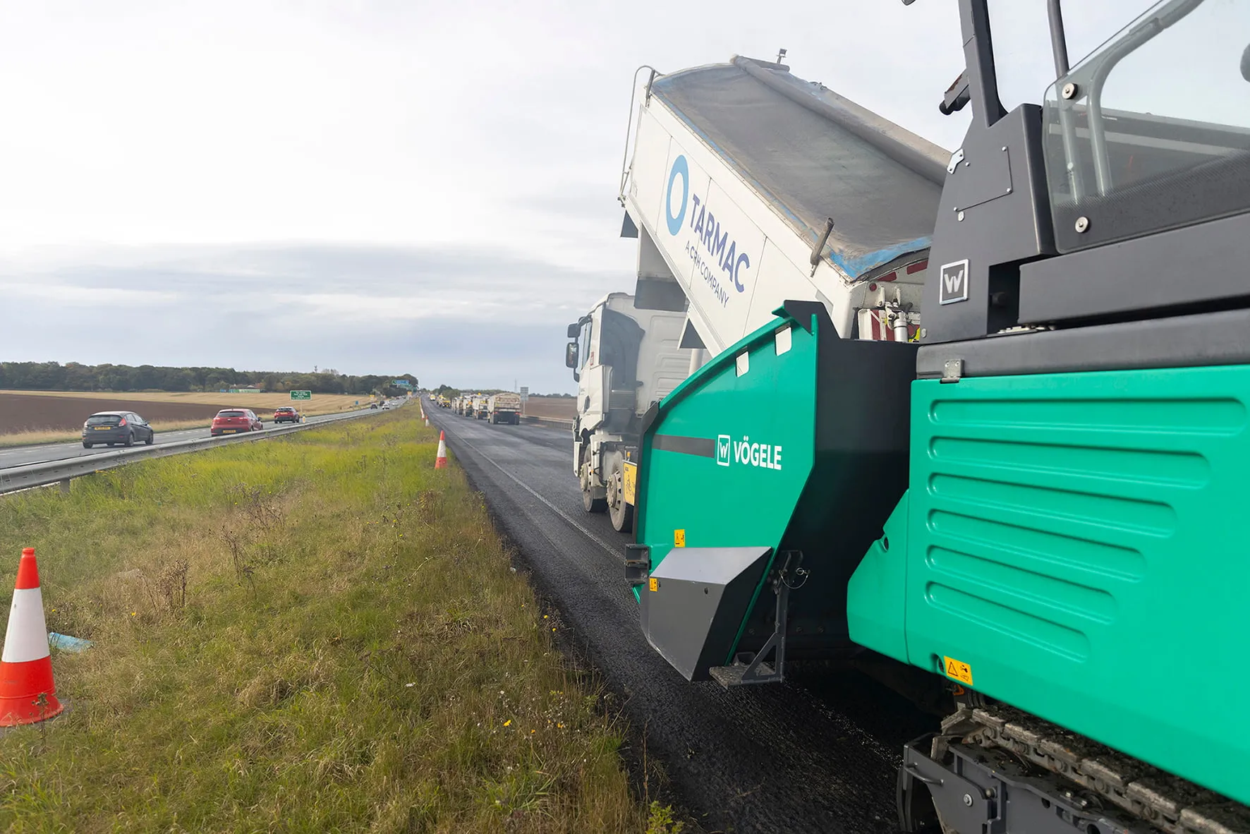
    The trial was delivered on a 2.4km section of England’s A64 strategic highway, the eastbound carriageway at junction 44 near the town of Bramham in North Yorkshire county.
  • Surecam keeps Peoplesafe in the UK
    October 2, 2023
    Ringway Jacobs, a UK highway services provider, adopted the video-enabled lone worker protection service from Peoplesafe and Surecam earlier this year for its lone workers and maintenance teams including those doing walked visual inspections of footways and highways.
  • Drivewyze gets data boost from one.network
    June 13, 2023
    Drivewyze has partnered with one.network to improve the quality of data regarding work zones and lane closures that are provided to US state transportation agencies.
  • Variable message signs deliver real time travel information
    April 10, 2012
    Variable Message Sign systems are helping ease traffic congestion and keeping drivers better informed on key highways across Europe and the rest of the world. Guy Woodford looks at some of their recent applications By coupling its Intelligent Travel Time System (ITTS) with Bluetooth technology, Alcatel-Lucent is measuring traffic flow in real time and conveying it seamlessly to local authorities in the French city of Vélizy-Villacoublay. The city, a major business enterprise hub 14km south-west of central