Get the real picture with Image Logger

RoadBotics has placed time-stamped geo-spatial images on GIS-enabled maps.
By David Arminas July 31, 2020 Read time: 2 mins
Image Logger, the first product in the company’s cloud-based RoadWay Operating System online platform

RoadBotics is announcing the addition of Image Logger to its growing suite of products to help communities digitise assets such as roads, sidewalks and trails.

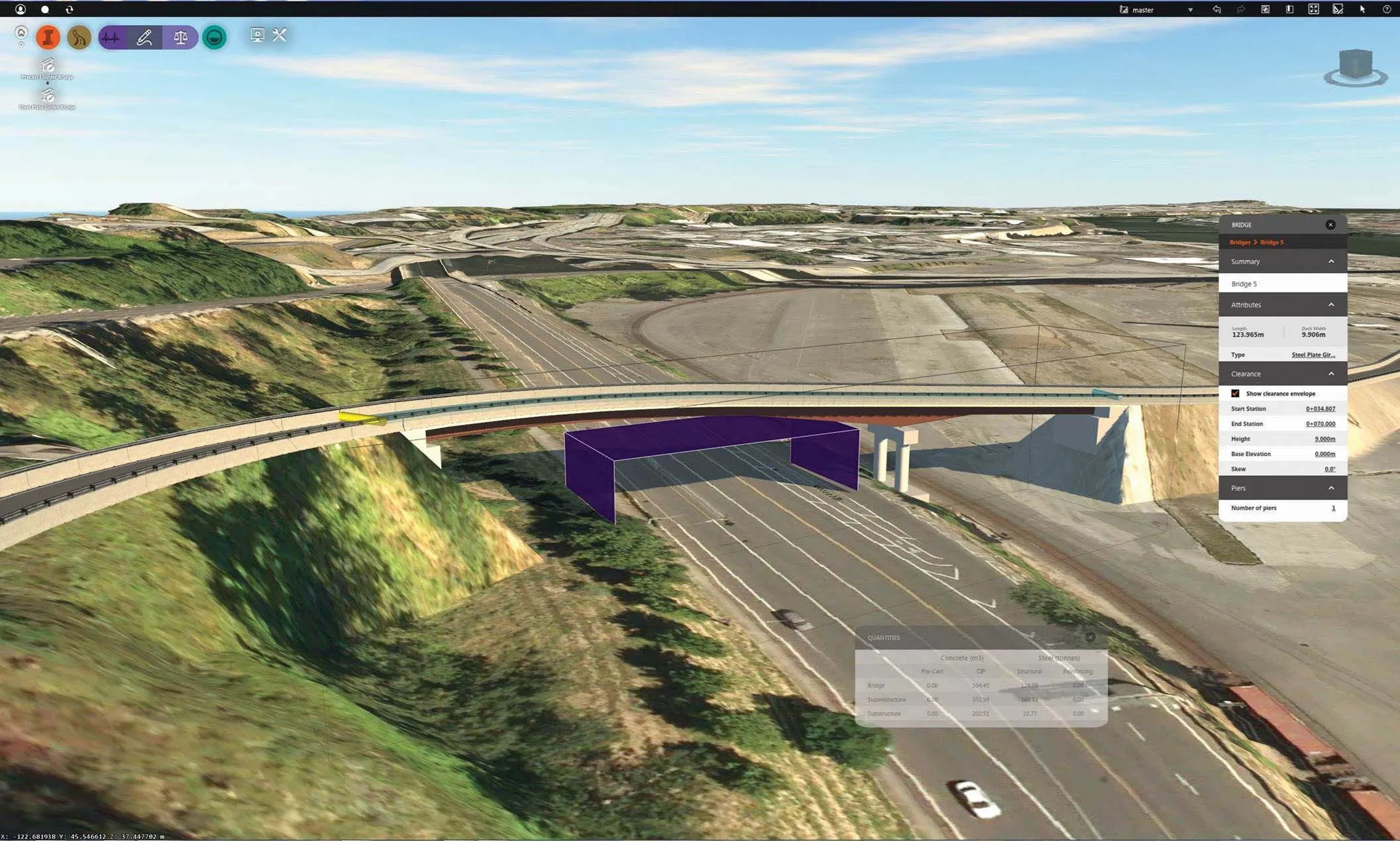
The company, based in Pittsburgh in the US state of Pennsylvania, said the technology places time-stamped geo-spatial image data on a GIS-enabled map. The result allows local authorities to view all public assets on one platform - from a desk or out in the field.

“The Image Logger is a great addition to our existing products and tools for road and infrastructure management,” said Matt Lucas, head of product at Roadbotics. “It helps our clients to better administer their assets while saving valuable resources.”

RoadBotics - known for automated pavement assessments using a smartphone for data collection –users can collect data on roads and adjacent assets such as signage and public right of ways including sidewalks, bike trails and walking paths. Whether collected monthly, seasonally or before and after maintenance projects, up-to-date data is invaluable for asset management.

The Image Logger  was released in early June as the first product for the company’s new RoadWay Operating System, a cloud-based online platform. RoadWay OS helps governments manage and administer their public infrastructure asset data in one central location. “Image Logger accomplishes that objective by the ease of use and breadth of data available,” said Benjamin Schmidt, president and co-founder of RoadBotics.

Roadway OS is also available to outside consultants and professionals who help governments maintain infrastructure, whether this is managing tactical day-to-day operations or enhancing strategic planning.

Related Content

  • The paperless construction site
    August 9, 2019
    Digitalization is changing the construction industry faster than expected. Automation, additional sensors and the networking of machines make it possible to exploit optimization potential and noticeably increase productivity. However, despite innovative working methods and digitization, the road construction process is still mainly based on one medium: paper. Paper can be used for a wide variety of purposes and offers unlimited flexibility. Construction schedules, work schedules, work sheets, mix orders
  • LiuGong closes Dressta deal
    March 21, 2012
    Chinese manufacturer LiuGong Machinery has finalised its agreement to acquire Polish firm HSW (Huta Stalowa Wola) and its distribution subsidiary, Dressta. The agreement was signed by executives from both companies in Warsaw.
  • Construction software giant Autodesk continues to acquire new capabilities and products
    May 16, 2014
    Even before its annual spring upgrade announcements, covering all the major software from AutoCAD to Civil 3D, the giant Autodesk has been releasing a stream of changes. Some of these cover recent acquisitions such as the French Graitec software for detailing and design of concrete and steel structures, now through its legal processes, and the Bestech acquisition. In both cases the software is re-released under an Autodesk brand to ensure continuity for users "and with a price reduction," said Autodesk c
  • Harnessing Africa’s transportation potential
    August 12, 2014
    1st IRF Africa Regional Congress inspires stakeholders to take action. IRF’s 1st Africa Regional Congress concluded on June 6th with a renewed call for African leaders to address the infrastructure and mobility challenges that so often accompany rapid economic growth and increasing motorisation. The highly successful event was held against a backdrop of unprecedented road infrastructure investments across sub-Saharan Africa, but also mounting mobility challenges. “The results of investments in roads have