Get the real picture with Image Logger

RoadBotics has placed time-stamped geo-spatial images on GIS-enabled maps.
By David Arminas July 31, 2020 Read time: 2 mins
Image Logger, the first product in the company’s cloud-based RoadWay Operating System online platform

RoadBotics is announcing the addition of Image Logger to its growing suite of products to help communities digitise assets such as roads, sidewalks and trails.

The company, based in Pittsburgh in the US state of Pennsylvania, said the technology places time-stamped geo-spatial image data on a GIS-enabled map. The result allows local authorities to view all public assets on one platform - from a desk or out in the field.

“The Image Logger is a great addition to our existing products and tools for road and infrastructure management,” said Matt Lucas, head of product at Roadbotics. “It helps our clients to better administer their assets while saving valuable resources.”

RoadBotics - known for automated pavement assessments using a smartphone for data collection –users can collect data on roads and adjacent assets such as signage and public right of ways including sidewalks, bike trails and walking paths. Whether collected monthly, seasonally or before and after maintenance projects, up-to-date data is invaluable for asset management.

The Image Logger  was released in early June as the first product for the company’s new RoadWay Operating System, a cloud-based online platform. RoadWay OS helps governments manage and administer their public infrastructure asset data in one central location. “Image Logger accomplishes that objective by the ease of use and breadth of data available,” said Benjamin Schmidt, president and co-founder of RoadBotics.

Roadway OS is also available to outside consultants and professionals who help governments maintain infrastructure, whether this is managing tactical day-to-day operations or enhancing strategic planning.

Related Content

  • Updates to Topcon MAGNET product improve customer notification
    April 23, 2015
    Topcon Positioning Group has updated the MAGNET suite of software solutions to ensure customers have the most up-to-date information available. MAGNET v3.0 includes several new and enhanced features designed to increase interconnectivity and productivity. Among the improvements are user notifications that new data is available, said Ronald Verheijen, Topcon manager of product support.
  • Opsys launches ALTOS at Curiosity Lab
    November 18, 2024
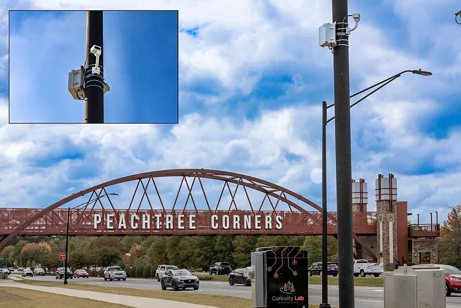
    Opsys said that, as a pure solid-state LiDAR, the ALTOS Gen 2 has no moving parts and will be deployed at Curiosity Lab in the US city of Peachtree Corners to provide real-time data on traffic flow and pedestrian movements.
  • Sitting correctly
    August 14, 2023
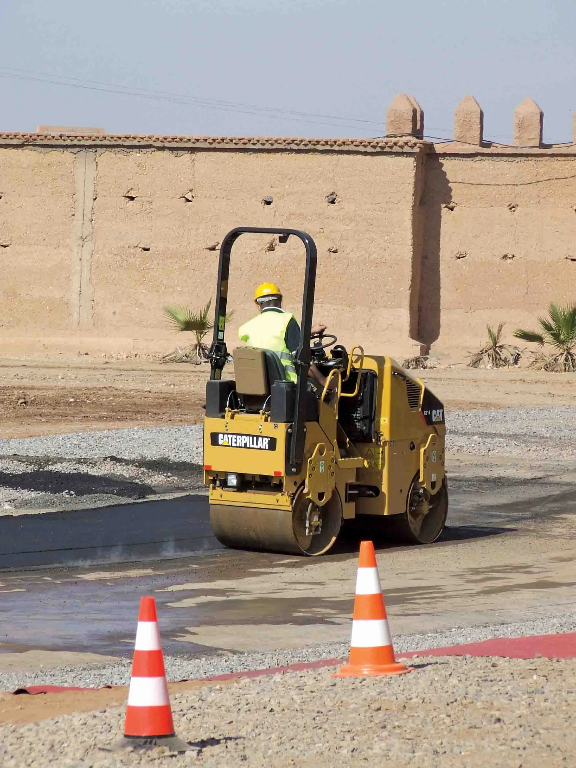
    The seal of quality from Aktion Gesunder Rücken e.V. (AGR) - the German "Campaign for Back Health" confirmed it: the operating concept and cabin design of Bomag’s latest pivot-steered tandem rollers are verifiably backfriendly and recommended by doctors and therapists.
  • New radio wave technology assesses asphalt integrity
    March 14, 2017
    Real time information on asphalt density and uniformity can boost construction quality - *Roger Roberts, GSSI. Properly compacted asphalt is a major factor in the lifespan of a road, as inadequately compacted asphalt deteriorates at a more rapid rate than properly compacted material. With the billions spent on road construction and repairs each year, it has become a matter of urgency to find new technologies that can ensure the integrity of asphalt on newly paved roads. New radio wave technology is now avai