Get the real picture with Image Logger

RoadBotics has placed time-stamped geo-spatial images on GIS-enabled maps.
By David Arminas July 31, 2020 Read time: 2 mins
Image Logger, the first product in the company’s cloud-based RoadWay Operating System online platform

RoadBotics is announcing the addition of Image Logger to its growing suite of products to help communities digitise assets such as roads, sidewalks and trails.

The company, based in Pittsburgh in the US state of Pennsylvania, said the technology places time-stamped geo-spatial image data on a GIS-enabled map. The result allows local authorities to view all public assets on one platform - from a desk or out in the field.

“The Image Logger is a great addition to our existing products and tools for road and infrastructure management,” said Matt Lucas, head of product at Roadbotics. “It helps our clients to better administer their assets while saving valuable resources.”

RoadBotics - known for automated pavement assessments using a smartphone for data collection –users can collect data on roads and adjacent assets such as signage and public right of ways including sidewalks, bike trails and walking paths. Whether collected monthly, seasonally or before and after maintenance projects, up-to-date data is invaluable for asset management.

The Image Logger  was released in early June as the first product for the company’s new RoadWay Operating System, a cloud-based online platform. RoadWay OS helps governments manage and administer their public infrastructure asset data in one central location. “Image Logger accomplishes that objective by the ease of use and breadth of data available,” said Benjamin Schmidt, president and co-founder of RoadBotics.

Roadway OS is also available to outside consultants and professionals who help governments maintain infrastructure, whether this is managing tactical day-to-day operations or enhancing strategic planning.

Related Content

  • New Weigh in Motion solutions unveiled to customers at Intertraffic 2014 Amsterdam
    October 1, 2014
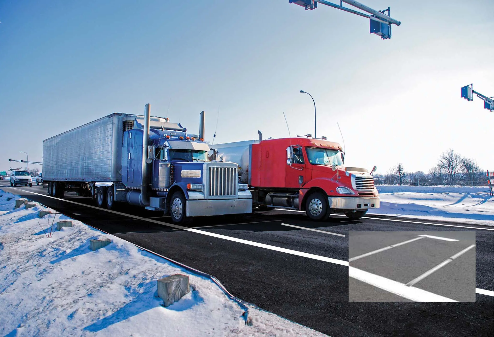
    Exciting weigh in motion solutions have been introduced, while a leading North American WIM firm has secured a lucrative US contract. Guy Woodford reports Globally renowned Swiss WIM solution manufacturer Kistler recently launched its new Lineas WIM Data Logger. The data logger has been developed specifically to interface Lineas WIM sensors and to provide the most accurate vehicle weight data. It can be easily integrated into any overall solution by a system integrator to optimally cover several applica
  • Golden route to success
    July 20, 2012
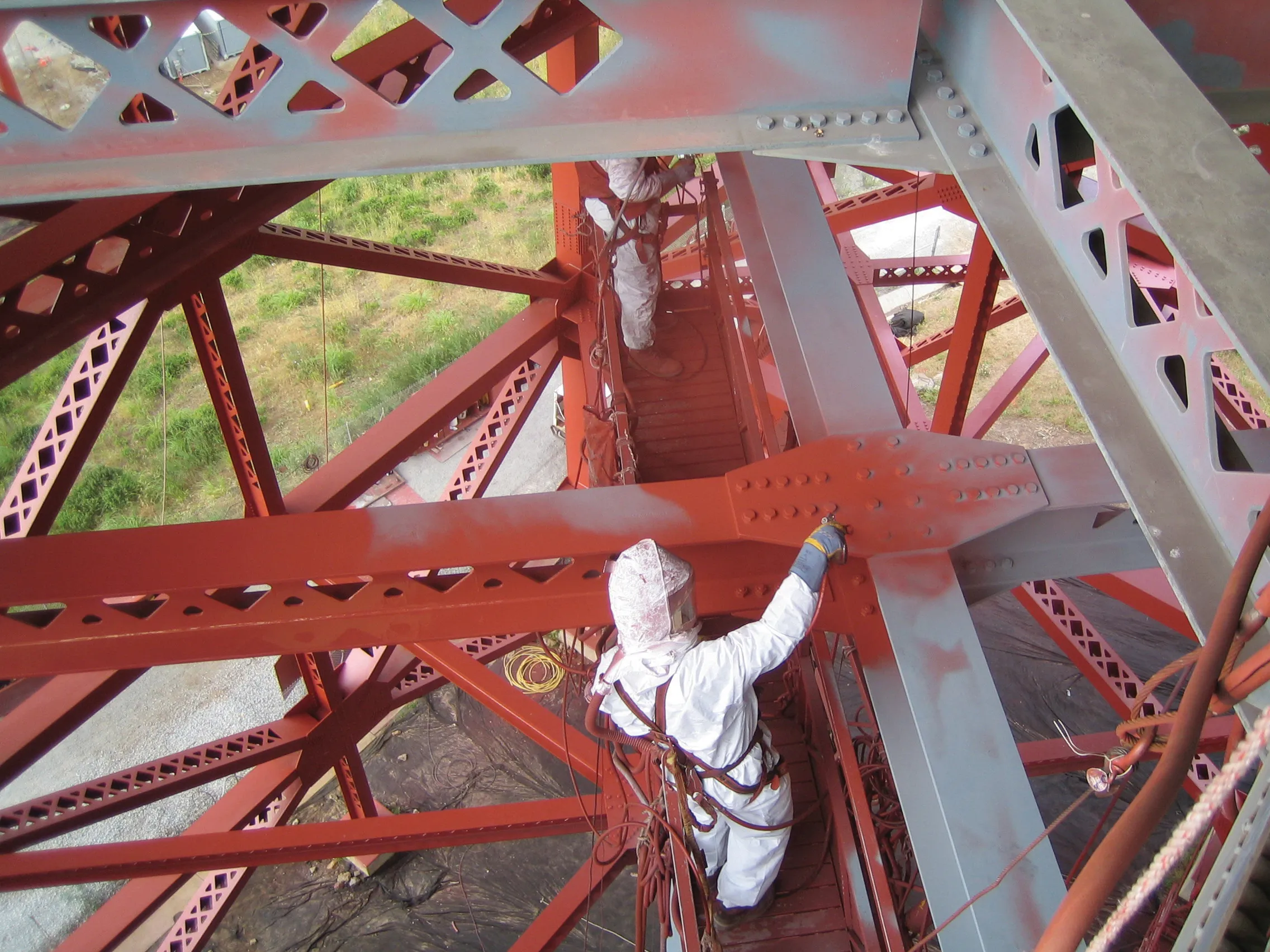
    Built in 1937 and still the ninth longest suspension bridge in the world, the Golden Gate Bridge across San Francisco Bay remains in fine shape despite its age - Andrew Bardin Williams writes The Golden Gate Bridge turned 75 years old on May 27 and continues to play a key role in the transportation, engineering, construction and ITS communities. The structure has played an important historical role, an engineering success that boosted the economy of the region. And it also led the way as the first major pub
  • New road safety system from World Bank
    July 13, 2020

    A new approach to road safety is being promoted by the World Bank (WB). This is intended to meet the needs of the new Environmental and Social Framework (ESF), which addresses traffic and road safety under Standard 4, Community Health and Safety. The standard requires that all WB projects avoid or minimise road safety risks and impacts. It applies not just to the communities where the project is being done, but also project workers and road users. Any project with potential road safety implications must develop measures and plans to address these risks.

  • The new CBA asphalt granulator bucket
    October 1, 2021
    Available in two models: CBA 30 for 18 to 28-ton excavators, and CBA 40 for the 25 to 40-ton range