Alumasc Water Management Solutions (AWMS) is offering innovative drainage solutions from its leading civil drainage brand Gatic, ideal for highways applications. The Slotdrain is a novel, high capacity surface water drain. Its Filcoten is an advanced, lightweight concrete channel system that offers strength, high performance and environmental compatibility Meanwhile the firm claims that its EnviroKerb product is the lightest, strongest and greenest range of kerb drainage solutions.
RSSAlumasc Water Management Solutions (AWMS) is offering innovative drainage solutions from its leading civil drainage brand Gatic, ideal for highways applications.
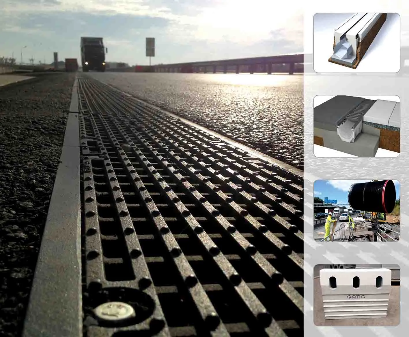
The Slotdrain is a novel, high capacity surface water drain. Its Filcoten is an advanced, lightweight concrete channel system that offers strength, high performance and environmental compatibility Meanwhile the firm claims that its EnviroKerb product is the lightest, strongest and greenest range of kerb drainage solutions.
The Slotdrain is a novel, high capacity surface water drain. Its Filcoten is an advanced, lightweight concrete channel system that offers strength, high performance and environmental compatibility Meanwhile the firm claims that its EnviroKerb product is the lightest, strongest and greenest range of kerb drainage solutions.