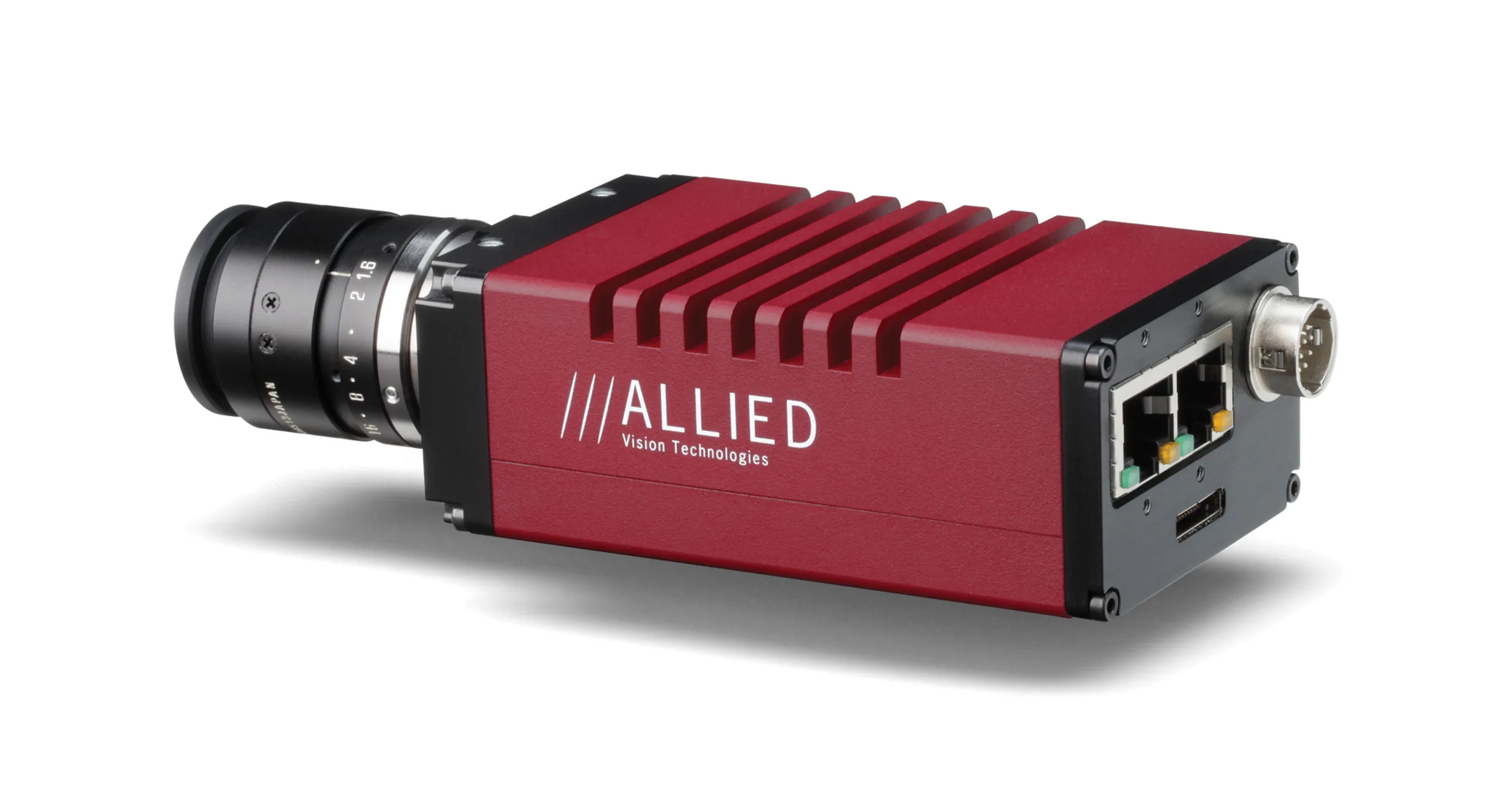
Chromasens has introduced the 3DPIXA RI stereo line-scan camera for what the company says are faster road inspections.
It comes with a tri-linear CCD (charge-coupled device) line-sensor and a very large field of view, 4400mm. When installed on a standard vehicle, this combination allows it to capture high-resolution inline images of continuous road surfaces as wide as 4.4m (14.4 ft) in one pass.
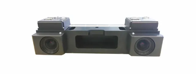
As a line-scan stereo camera, the 3DPIXA Rl records road conditions line-for-line at an optical resolution of 615µm, simultaneously capturing 3D height measurements and 2D colour images for analysis. Even at full resolution, the camera has an ultra-fast line frequency of 30kHz with higher speeds possible with lower resolutions.
As a result of this advanced optical design, a road profile of 1mm spatial resolution can be measured down to 0.2mm to 0.5mm. Also, the vehicle on which the camera system is mounted can travel at maximum speeds of 100kph (62mph). This means the system will avoid delaying traffic or becoming a hazard itself while monitoring road conditions.
"All across Europe, North America and Asia, thousands of miles of roadway have been automatically inspected using Chromasens 3DPIXA cameras and LED illumination modules," said Jeremy Jowers, director of sales and business development sales americas for Chromasens. "Now we've taken that experience to create the 3DPIXA RI camera that is engineered specifically for this application."
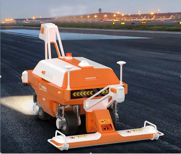
To ensure homogenous illumination over the whole field of view, Jowers recommends the integration of the Chromasens Corona II LED lighting module in Dark Field mode with blue LEDs. He said that it delivers excellent brightness without colour aberration. The unit's lightweight, compact footprint means it is easily mounted onto standard vehicles. Its four focal types allow for versatility in system design.
The 3DPIXA RI is capable of not only detecting the width of a pothole but its depth, as well, by generating a 3D model with point cloud of the hole. It can even detect if an existing asphalt repair is in good condition by measuring height variations in the road.
The Chromasens 3DPIXA RI comes with the Chromasens 3D-API for software integration and supports libraries from HALCON (MVTec), MIL (Matrox), LabVIEW (National Instruments) and Coake (SAC). Its Camera Link interface is universally compatible with third-party frame grabbers, cables and accessories.
Chromasens, founded in 2004 as a division of Siemens, designs, develops and produces image capturing and processing systems. Since the end of 2018, it has been part of the Dutch technology group TKH. Chromasens is based in Constance, southwestern Germany, and is ISO 9001 certified.