Northscan and Bridgology form Nordic alliance

The two companies will together offer their road and bridge scanning and data analysis services in Sweden, Finland and Norway.
By David Arminas April 29, 2024 Read time: 2 mins
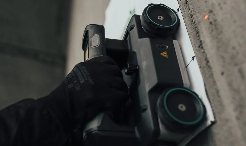
Northscan, based in Stockholm and Gothenburg, focuses on non-destructive concrete testing using ground-penetrating radar, ultrasonic pulse velocity and magnetic induction (image courtesy Northscan)

Northscan and Bridgology Sweden say they have formed an “alliance” to offer more accurate non-destructive scanning solutions for bridge inspections and renovations.

Together they will work to provide new opportunities for customers in the Nordic countries of Sweden, Finland and Norway with their expanded analysis process.

Bridgology Sweden’s parent company Bridgology, based in Épalinges, Switzerland, develops software for the analysis and presentation of ground penetrating radar (GPR) data for concrete repair planning and more accurate cost estimates. Particularly prominent is the software for analysis of data from concrete scanning of roadways on road bridges, where it can present data in the form of detailed, graphic and self-explanatory maps adapted for each specific bridge.

Meanwhile, Northscan, based in Stockholm and Gothenburg, focuses on non-destructive concrete testing using three types of scanning techniques – GPR, UPV (ultrasonic pulse velocity) and magnetic induction (Eddy current technology).

The Swedish Transport Administration alone is responsible for the management of approximately 17,000 bridges in Sweden, with annual operating and maintenance costs exceeding €861.4 million. The companies said that in order to meet this challenge and streamline the use of resources, careful investigation and preparation, repair efforts on bridge decks can be calculated in detail. This will  create the conditions for significant cost savings and better planned repair efforts.

"This partnership truly marks a new era for bridge renovation in the Nordics,” said Jamshid Lodhi, chief marketing officer at Northscan. “By combining our expertise with Bridgology's advanced technology and analysis process, we will be able to offer cutting-edge solutions that benefit both society and the infrastructure sector."

For more information on companies in this article

Related Content

  • Circular salt for Sweden
    May 23, 2022
    A new mineral reclamation process by Swedish recycling group Ragn-Sells could bring more environmentally-friendly-produced road salt to Scandinavia’s highways this coming winter.
  • Well structured maintenance
    January 4, 2013
    Major bridge maintenance and replacement projects across the world are extending the life of many impressive historic landmarks as Guy Woodford reports The Tamar Bridge, part of the main A38 trunk road linking Saltash in Cornwall with Plymouth in Devon, south west England, marked its 50th anniversary with a steel deck resurfacing project involving Stirling Lloyd's Eliminator bridge deck waterproofing system. Jointly owned by Plymouth City Council and Cornwall Council, the Tamar has a suspended length of 642
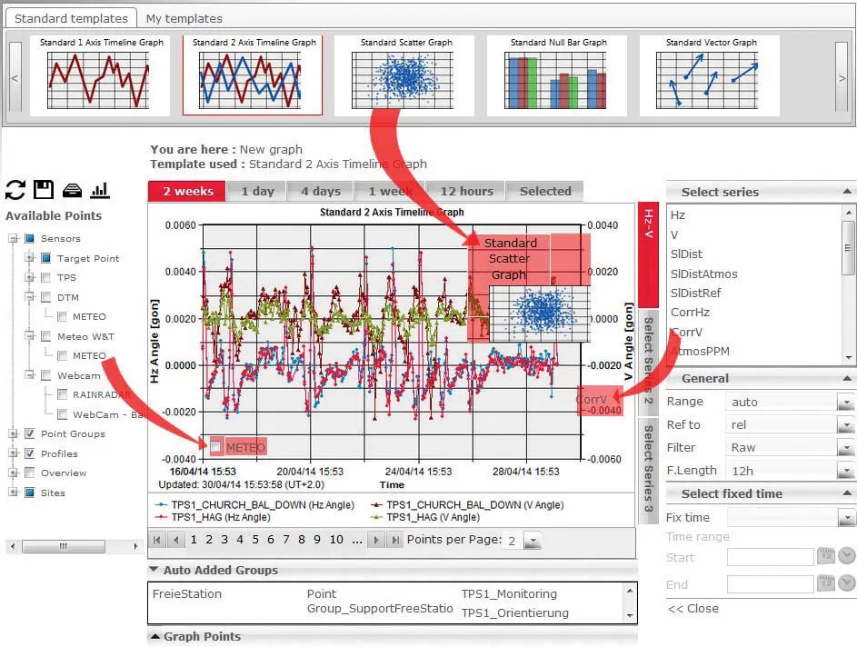
  • Leica Geosystems introduces smart monitoring of structures
    October 1, 2014
    Highly sophisticated, the Leica GeoMoS Now! From Leica Geosystems is a new web-based application enables on-the-go visualisation and analysis of structural and ground movement monitoring data. With this package, large quantities of geodetic and geotechnical data are said to be easier to handle with simplified workflows using automatic configuration and distribution tools. The package can quickly notify users of any changes in data for faster, more informed responses. Leica GeoMoS Now! allows users t
  • Positioning tools continue to improve
    July 16, 2012
    Topcon says that its new IP-S2 package combines GNNS positioning capabilities with inertial sensors, while the firm also has a solution for customers wanting to mix and match receiver components. The IP-S2 is a vehicle-mounted, mobile 3D tool that offers precision mapping and surveying capabilities. The package collects data using 3D laser scanners, LIDAR, and/or cameras, and this is then integrated, time-stamped and geo-referenced. The customer can use this assembled data to combine LIDAR point cloud and d