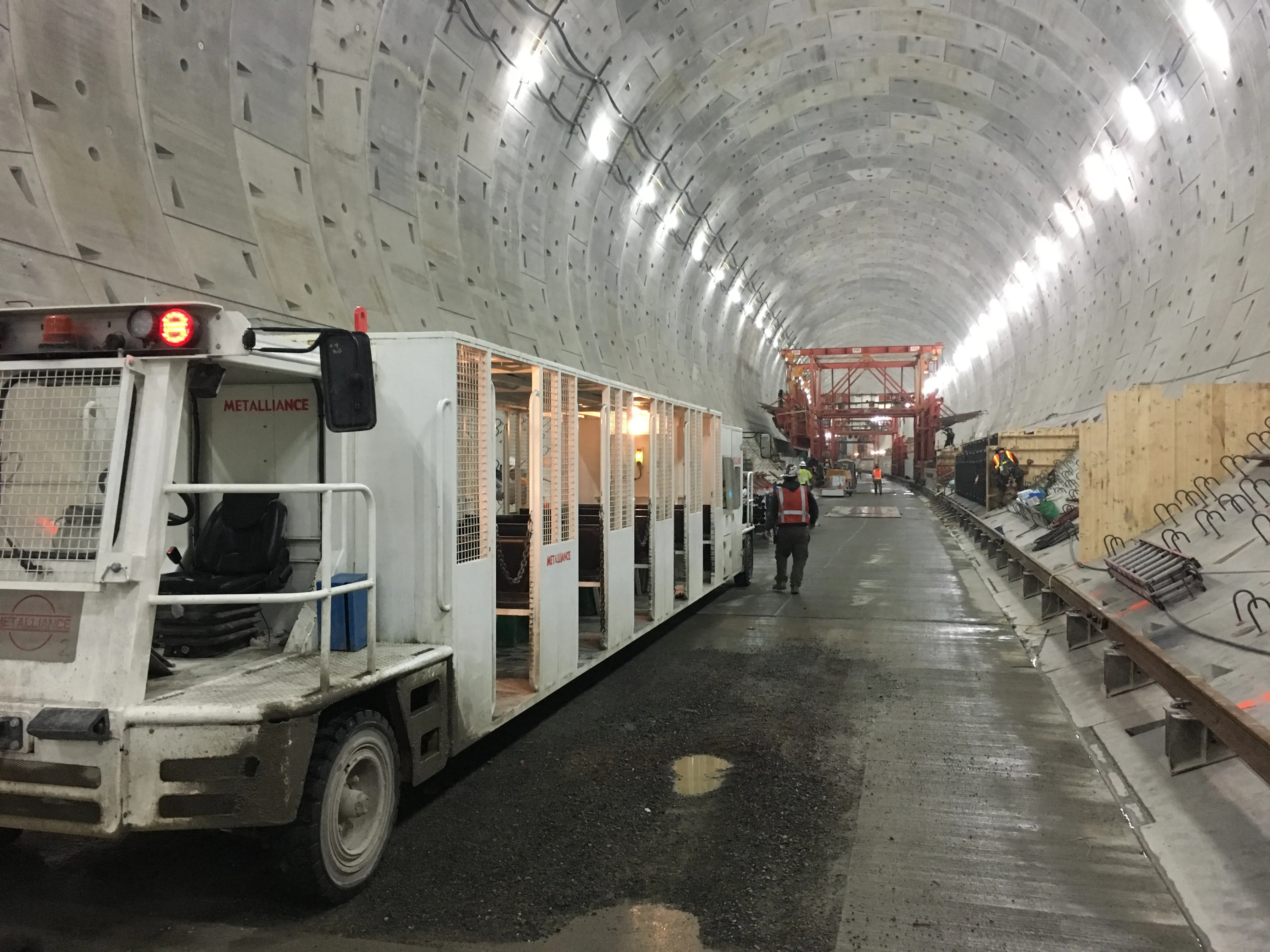
Drivers could pay as little as US$1 to use Seattle’s 2.7km Alaskan Way tunnel when it opens, likely by the end of the year.
The Washington State Department of Transportation, owner of the tunnel, are considering several rates depending on time of day and day of week, according to local media.
The DoT said funding for the $3.2 billion viaduct replacement programme comes from state, federal and local sources as well as the Port of Seattle and tolls on drivers using the tunnel. The money will fund tunnel
Drivers could pay as little as US$1 to use Seattle’s 2.7km Alaskan Way tunnel when it opens, likely by the end of the year.
The Washington State Transportation Commission, owner of the tunnel, is considering several rates depending on time of day and day of week, according to local media.
The DoT said funding for the $3.2 billion viaduct replacement programme comes from state, federal and local sources as well as the Port of Seattle and tolls on drivers using the tunnel. The money will fund tunnel maintenance and raise $200 million to repay construction bonds used to build the tunnel.
“State transportation commissioners are intent on charging the lowest possible tolls for the Highway 99 tunnel, so motorists won’t be tempted to divert onto busy downtown Seattle streets,” the WSTC has said.
One option would be to set four rates ranging from $1 on weekends and $1.50 at morning peaks to $2.25 each direction during afternoon rush hour. After the first two years, tolls would increase 3% annually from 2021 to 2025.
Rates are much higher only several kilometres away from the tunnel where drivers pay express-lane tolls as high as $10 to save 20 to 25 minutes along I-405, the Seatle Times reported.
The five tolls on the Highway 520 floating toll bridge alternate through 11 time periods per weekday, ranging from $1.25 to $4.30, with minimal controversy, the Times reported.