CEMEX’s smart concrete technology move

CEMEX is developing its presence in the concrete technology segment with a strategic investment. The firm’s CEMEX Ventures division is buying a stake in the specialist Concrete Sensors, a US firm that carries out real-time monitoring of concrete. Concrete Sensors uses real-time data from sensors, allowing contractors to accelerate their schedules through accurate real-time monitoring of temperature, relative humidity, and strength with any mix design of concrete. The firm uses embedded wireless sensors, com
July 24, 2018 Read time: 2 mins
3016 CEMEX is developing its presence in the concrete technology segment with a strategic investment. The firm’s CEMEX Ventures division is buying a stake in the specialist Concrete Sensors, a US firm that carries out real-time monitoring of concrete. Concrete Sensors uses real-time data from sensors, allowing contractors to accelerate their schedules through accurate real-time monitoring of temperature, relative humidity, and strength with any mix design of concrete. The firm uses embedded wireless sensors, combined with a mobile app, to supply the data needed to make critical decisions with a high degree of accuracy. This combination of data and in-house concrete lab calibration is said to allow customers to save money and reduce schedules by weeks, while improving construction quality.


According to the firm, this allows engineers to avoid schedule delays while optimising their workflowa. After concrete pouring, installed on-site sensors are automatically activated to analyse the concrete and ensure quality and efficiency. Sensors continuously collect data, reporting on performance and alerting contractors of issues before they happen.

This technology is already being used by leading contractors including Turner Construction and 2296 Skanska. The concrete construction solution has caught the interest of CEMEX Ventures, Requus Ventures, and Arab Angels Fund, which have partnered in this investment.

For more information on companies in this article

Related Content

  • Smarter compaction technology in use in Missouri
    October 2, 2018
    Intelligent compaction and infrared scanning technologies have been used to improve construction quality The Missouri Department of Transportation (MoDOT) carried out a year-long project throughout 2017 to demonstrate the use of intelligent compaction (IC), infrared scanning (IR), and Veta software to improve pavement construction operations. “We were looking for ways to assess quality in asphalt projects,” said Bill Stone, research administrator at MoDOT. “We are working towards better pavements that l
  • New non-destructive testing technologies for roads and bridges
    July 11, 2018
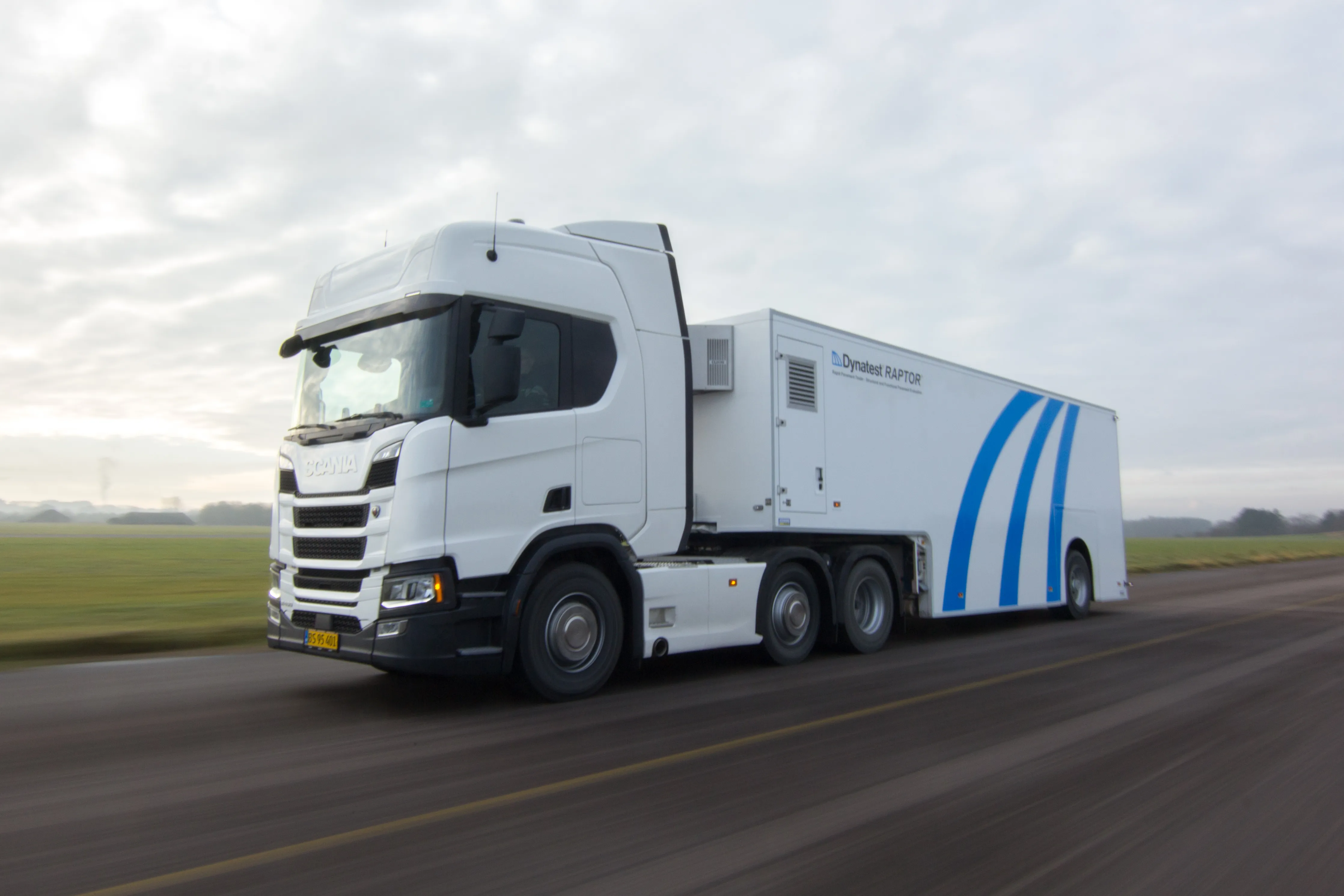
    Two new technologies for non-destructive testing offer key benefits, one suiting road surfaces, the other suiting concrete structures - Kristina Smith reports Dynatest has developed a new way to measure and record the state of pavements, using a machine that travels at the same speed as traffic. The Rapid Pavement Tester (Raptor) has been seven years in the making and offers road owners the chance to have comprehensive surveys without the need to disrupt traffic. “People have been wanting to do this for
  • Moba and Volz Consulting establish technology JV
    May 22, 2015
    MOBA and Volz Consulting are setting up a new joint venture aimed at process optimisation and documentation in asphalt road construction. The partners say that the core of the new business is the formation of a software system for construction process optimisation. This has been developed by Volz Consulting and is called BauProzessOptimierung ("construction process optimisation") – or BPO ASPHALT for short.
  • Positioning tools continue to improve
    July 16, 2012
    Topcon says that its new IP-S2 package combines GNNS positioning capabilities with inertial sensors, while the firm also has a solution for customers wanting to mix and match receiver components. The IP-S2 is a vehicle-mounted, mobile 3D tool that offers precision mapping and surveying capabilities. The package collects data using 3D laser scanners, LIDAR, and/or cameras, and this is then integrated, time-stamped and geo-referenced. The customer can use this assembled data to combine LIDAR point cloud and d