Bolivia’s new highway project will improve connections with Brazil and Chile – Mauro Nogarin reports
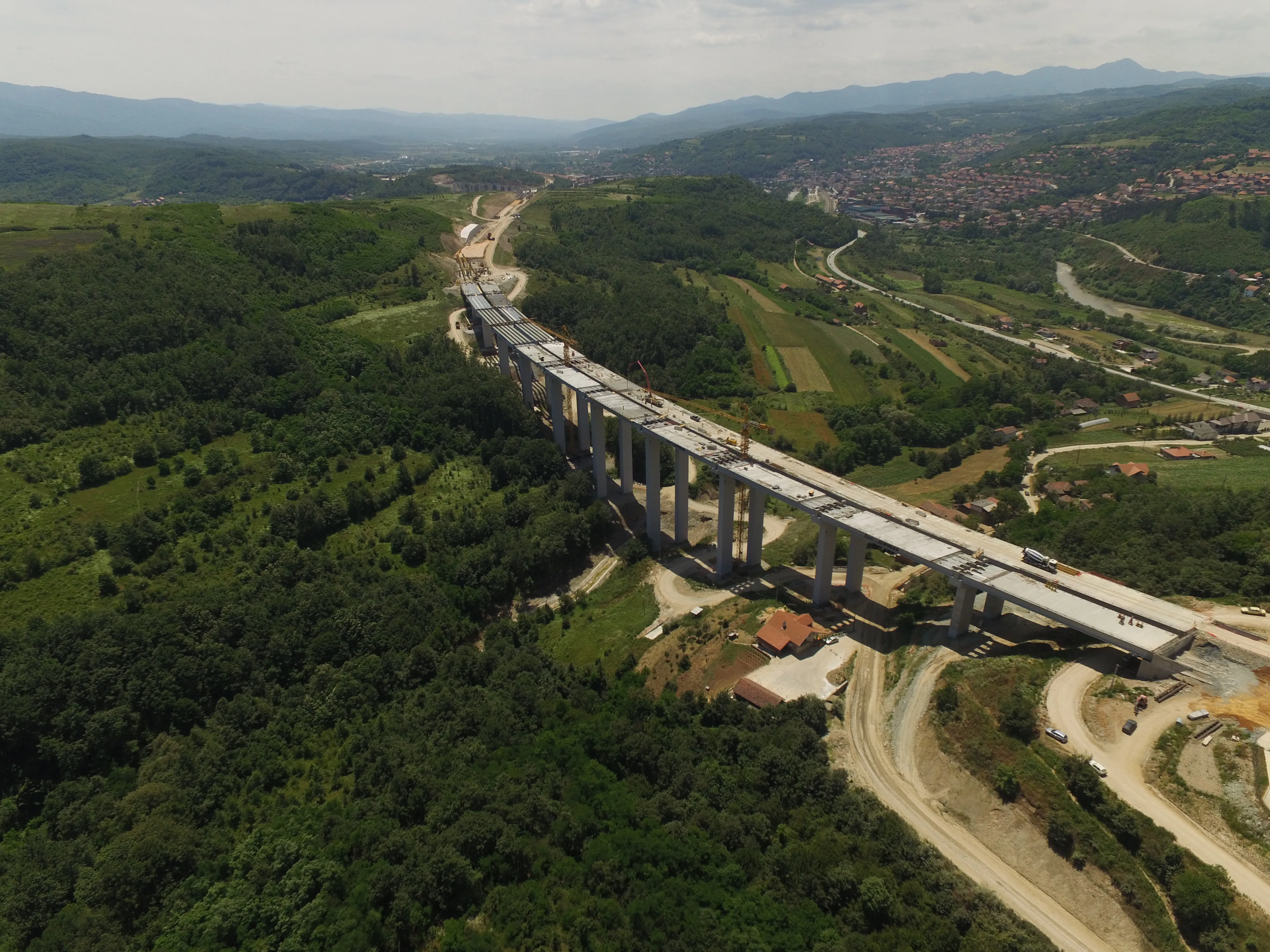
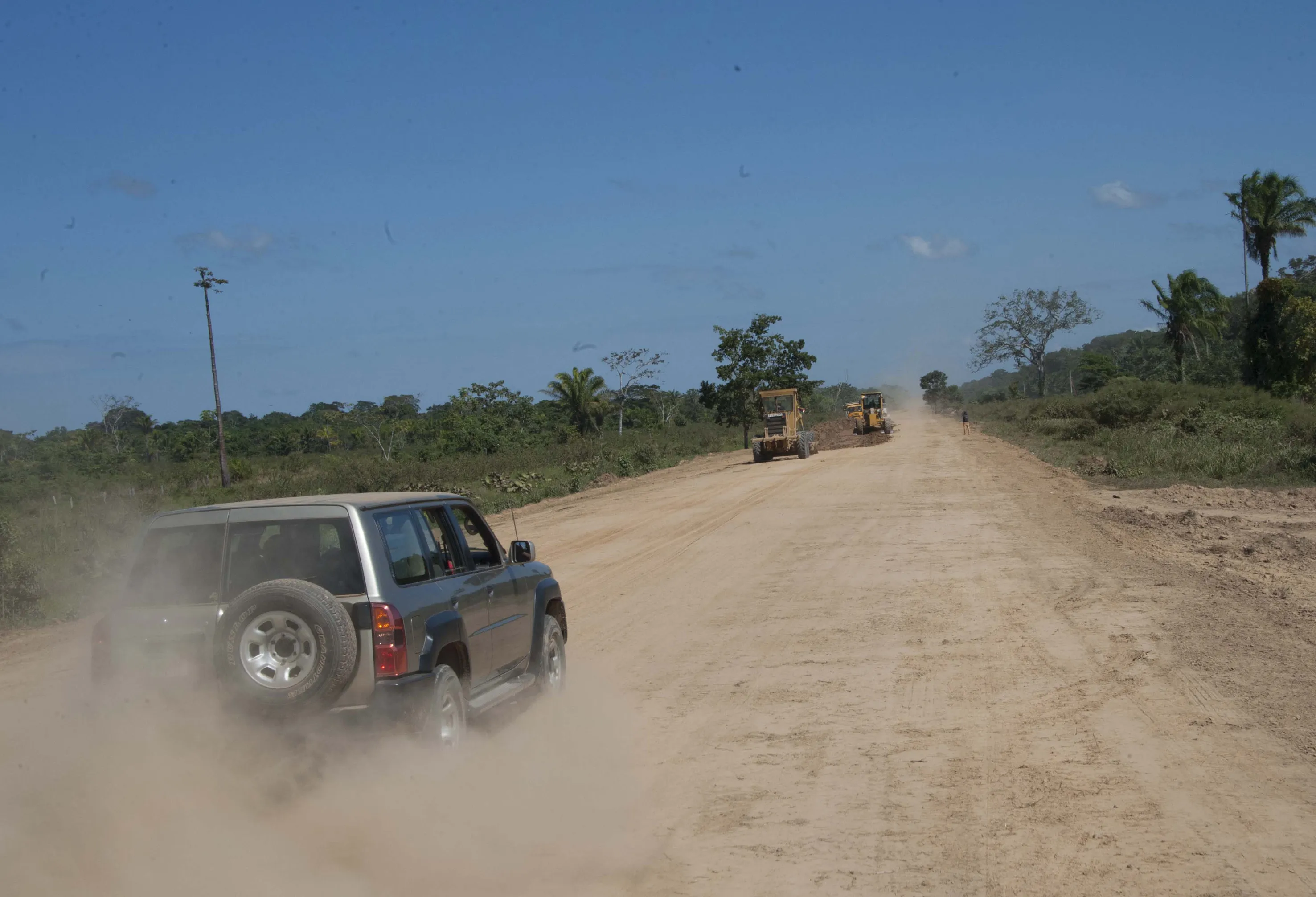
Work is underway on Bolivia’s new Rurrenabaque – Riberalta highway project, which will boost connectivity for the country. The project is being coordinated by the Bolivian Highway Administration (ABC), with an Eximbank loan of US$579.4 million providing the financing for 85% of the work. The remaining 15% of the funding will come from the Beni Department’s budget, where the route is being built. Located in the north-western area of Bolivia, the road runs between Rurrenabaque and Riberalta and measures approximately 508km in length. This road was conceived at the beginning of the 1980s and forms part of the West - North-west corridor (Route F8) of Bolivia’s key road network, managed by ABC itself. The corridor extends from the La Paz government headquarters to Guayaramerín, which lies on the border with Brazil and serves more than a third of the country's geographic area.
The highway is being designed with two lanes, each 3.65m wide, allowing one lane in either direction and also includes shoulders that are 1.5m wide. The road design also features a 50mm-thick asphalt layer that utilises polymer modified bitumen (PMB) in the mix.
The construction of the new highway is important as it will boost accessibility between the city of La Paz and the entire northern region of the country, as well as improving transport for the other cities and towns along the route. Developing this transport corridor within Bolivia’s road system will reduce distances and costs for passengers and goods. This will boost economic activity in the area, and further afield, as the route will increase international trade with Chile and Brazil.
The road is being constructed in several main sections. One section connects Rurrenabaque with Santa Rosa and is 95.7km long. Another stretch runs from Santa Rosa - Australia and is 169.4km long. A 168km stretch is from Australia - El Choro, while the remaining 74.9km section is from El Choro to Riberalta.
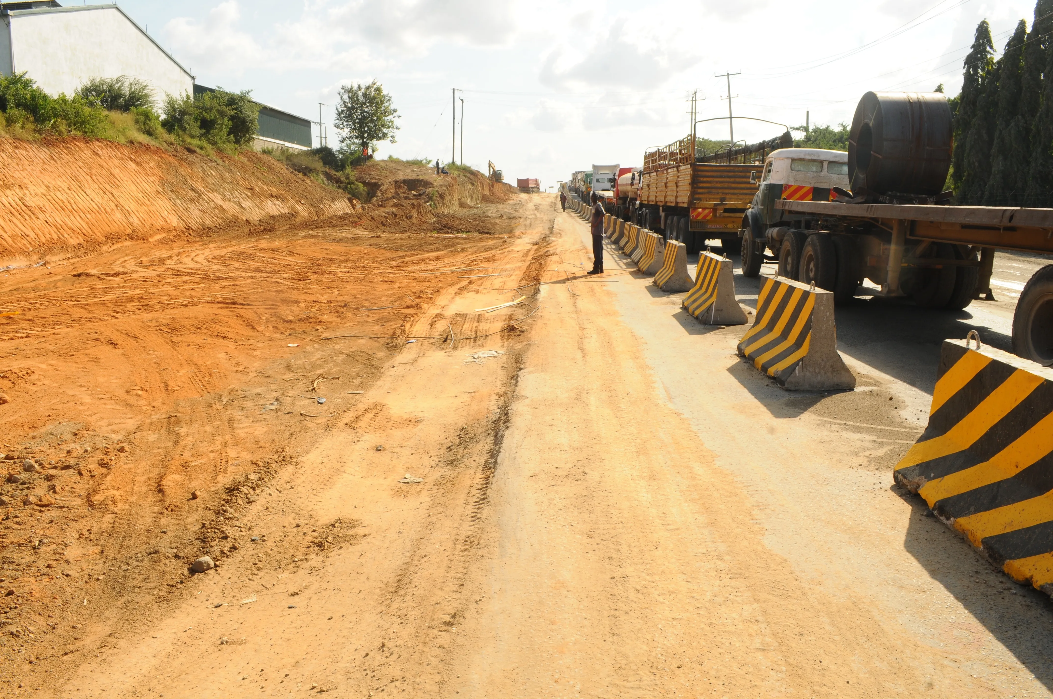
The road crosses the plains of Beni, which are relatively flat geologically and at an elevation of around 250m above sea level. However, the flat topography of this area means that it is subject to flooding that can restrict vehicle access during the rainy season, from November to March. The section from Riberalta to Guayaramerín, on the border with Brazil, is also relatively flat but its vegetation is dominated by Amazonian forests and is not subject to frequent flooding.
The Rurrenabaque - Santa Rosa section currently starts with a curve that features a 120m radius. As this is a sharper curve than allowed in the design for the new highway section, this particular area was reworked by changing the alignment and constructing a roundabout, providing an improved connection with national routes No3, No16 and No8.
This section of the highway is a relatively flat stretch, but with some undulations. It is located at the foot of a mountainous area and features heavy vegetation with humid rainforest.
Main sections
Rurrenabaque - Santa Rosa (95.7km)
Santa Rosa - Australia (169.4km)
Australia - El Choro (168km)
El Choro - Riberalta (74.9km)
Source: ABC
Main features
Roadway width: 7.3m
Lane width 3.65m
Pavement: polymer modified asphalt
50mm thick
Shoulders: 1.5m on either side of
the roadway
Project investment: US$579.4 million
Total length: 508km
Source: ABC The horizontal alignment is being constructed on the existing roadway and runs in a north-easterly direction. This is taking advantage of existing embankments, which has helped to reduce the quantity of clearance work required.
The section from Reyes to Santa Rosa, is connected to a link that runs in the north-east direction. This stretch also features a flat topography and is located in the initial section of the flood zone. The density of vegetation in this section is reduced, although there are humid rainforest areas in certain places. For the first 20km the horizontal alignment follows an eastward direction, then heads north-east for the next 40km, and finally heads in a south-east direction until it reaches the town of Santa Rosa. For this section the new route is being constructed on the existing road, but with key improvements where necessary. The radii of the horizontal curves have been improved, so as to allow travel speeds of 80km/h along the route.
The stretch from Santa Rosa to Australia also features a flat topography, with a part lying in the Beni flood plain. This section features pastures, as well as patches with humid rainforest. The new road alignment is again being constructed on the current roadway, with improvements being made to the radii of a number of curves. A key factor is that the grade is now being raised above the maximum level for flooding. Where the highway crossed the Yata River it was recognised that the connection with the existing bridge would need to be reworked, so the alignment is being moved by around 100m.
The Australia to Choro section follows the route of the existing road, with upgrades being made to the radii of some of the curves, while the route is also being raised above the maximum height for flooding. This last change will avert blockages in the future as flooding and platform saturation are frequent problems during the rainy season.
El Choro is the end point of the section also known as El Triángulo (the triangle), and is the point at which the road intersects with National Route No13, connecting Pando Department.
Finally, the 54km section from El Choro to Riberalta features high Amazonian forest, also with areas of crops, pastures and secondary forest. The horizontal alignment for this section runs on the existing road but without any significant changes to the grade. The stretch follows a north-westly direction almost parallel with the Beni River as far as the Ivon Bridge.