Topcon’s new haul management software

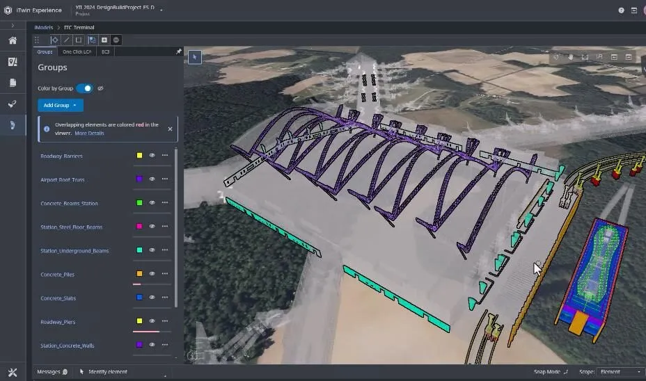
Topcon Positioning is updating its DynaRoad mass haul management software. The new DynaRoad v5.4.1 package helps streamline workflows through additional features for planning, scheduling and project control. In addition to an updated interface and new map views, DynaRoad now offers greater interoperability to the MAGNET Office software suite. The firm says that this update allows users to complete projects faster and streamline information to maximise profit and reduce risk. The DynaRoad software provide
January 4, 2016 Read time: 1 min
342 Topcon Positioning is updating its 2601 DynaRoad mass haul management software. The new DynaRoad v5.4.1 package helps streamline workflows through additional features for planning, scheduling and project control.

In addition to an updated interface and new map views, DynaRoad now offers greater interoperability to the MAGNET Office software suite. The firm says that this update allows users to complete projects faster and streamline information to maximise profit and reduce risk. The DynaRoad software provides critical and time-sensitive information to all parties of a large grading project.

New features include one-way road lines, German translation, the ability to import multiple Excel files and extended zooming.  Additionally, DynaRoad now has expanded PDF capacity so that multiple PDF files can be uploaded and displayed for the entire project.

For more information on companies in this article

Related Content

  • Analysing carbon quantities for construction
    October 14, 2024
    Using software tools can help analysing carbon from for construction works.
  • Straight to the point for measurement
    February 6, 2018
    Leica Geosystems says it is introducing a major advance in site surveying. This offers a novel tilt compensation system, so that users are no longer required to hold the pole vertical. The new Leica GS18 T is claimed to be the world’s fastest GNSS RTK rover, while the firm is also offering the latest versions of Leica Captivate field software and Leica Infinity office software. With the addition of calibration-free GNSS and various upgrades to the Captivate field software and Infinity office software, use
  • More satellites, more signals
    July 20, 2012
    Greater GPS accuracy suggests closer tolerances for surveying and machine control functions What happens in the future for GPS surveying and machine control could depend on satellite choice and signals. Right now there are around 30 satellites in orbit, largely built by the US, but by 2012 that could rise to 120 as Europe, China, India and Russia fully enter the market. A chequered history has faced the European's Galileo system. At long last, the finance appears to be in place and the European Commission a
  • Topcon Intelligent Compaction System available as after-market product
    January 6, 2017
    Topcon Positioning Group’s intelligent compaction system is now available for aftermarket integration. The C-63 intelligent compaction control system works on soil and asphalt rollers. “The aftermarket intelligent compaction kits will provide more contractors the ability to compete for jobs with IC requirements, or to simply perform more efficiently,” said Kris Maas, director of machine control product management. The GPS-based C-63 allows the operator to collect and use data in real time for stiffness,