Off-site monitoring with COMMAND Center

Transtec has also released the COMMAND Center Cloud, a sharing platform for system users.
By David Arminas February 19, 2021 Read time: 2 mins
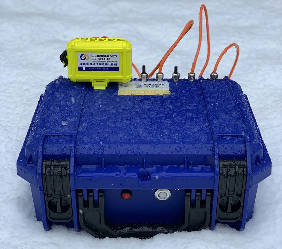
The AutoCollector box is rugged, weatherproof and needs only four D-cell batteries

Fully autonomous off-site collection of data as is now possible with Transtec’s Command Center, a concrete temperature and maturity monitoring system.

Since 2003, Transtec says that its COMMAND Center has been used on thousands of projects worldwide for all types of concrete applications. COMMAND Center - ASTM C1074 compliant - can be used for monitoring temperature and maturity in any concrete placement and is commonly used for concrete pavement repair.

The COMMAND Center system is also suitable for measuring concrete temperature and maturity in any mass concrete placement, such as found in bridges - piers, structural columns, mat slabs, girders, footings and thick slabs.

Now, by removing the necessity of on-site personnel to collect data, COMMAND Center AutoCollect, project teams - from subcontractors and testing firms to owners, engineers and architects - can measure and log concrete temperature history, calculate maturity and evaluate in-place strength while away from the jobsite.

The AutoCollector box is rugged and weatherproof and can be left outside at a jobsite. The hardware requires four D-cell batteries for power.

In addition, COMMAND Center has released a cloud sharing platform for users - the COMMAND Center Cloud. It works with or without the AutoCollect option, allowing teams to sync project files automatically across multiple devices and protect files with user privileges.

COMMAND Center AutoCollect uses a cellular signal to automatically send sensor data to the COMMAND Center Cloud where teams can access it in real-time from anywhere - on or off the jobsite. Users can receive real-time alerts via text message or email when their concrete approaches temperature limits or achieves estimated target strength.

COMMAND Center AutoCollect offers alternative download options and data redundancies to reduce potential data loss, so teams can be sure their concrete data is safe, says Transtec.

For more information on companies in this article

Related Content

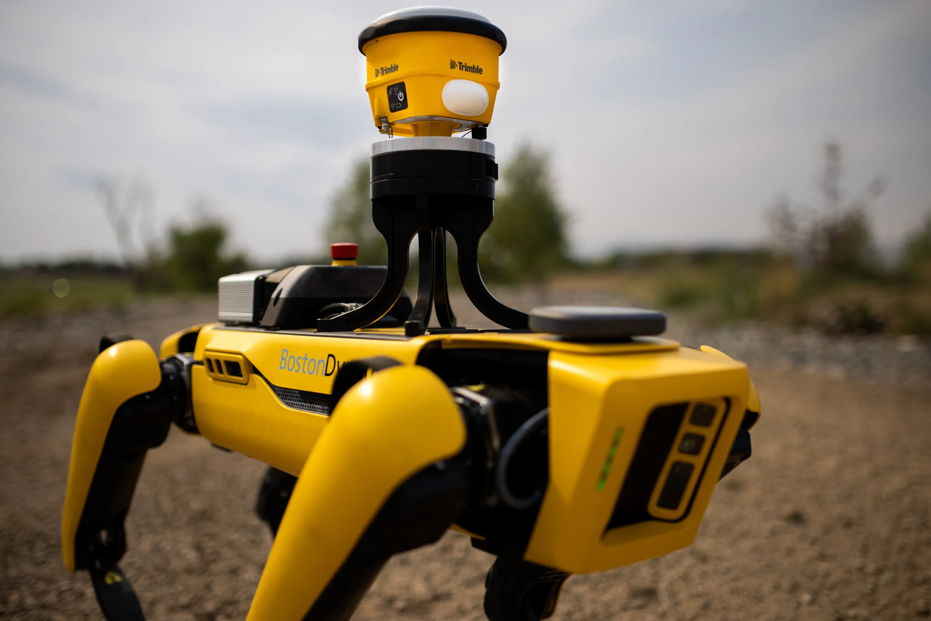
  • Robot dog agreement for Trimble and Boston Dynamics
    October 28, 2020
    A robot dog agreement has been struck by Trimble and Boston Dynamics.
  • How data mining and the intelligence it creates is helping sites run more effectively and efficiently
    December 13, 2022
    In this, the third in our series of top-level roundtable discussions led by World Highways, editor Mike Woof and roundtable host Nadira Tudor talk machine control technology with three world-class experts from Leica Geosystems (part of Hexagon), Topcon, and Trimble. There’s never been a more exciting time to be in construction as innovation makes us more productive, more efficient, more sustainable, and better connected. Autonomy means opportunity.
  • Airport expansion for the Maldives assisted by Trimble
    September 6, 2019
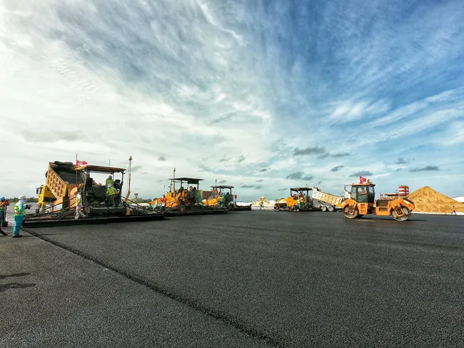
    An airport redevelopment and expansion project in the Maldives has been assisted by the use of technology from Trimble. In 2016 the Chinese firm Beijing Urban Construction Group (BUCG) was awarded the contract for the expansion of the Ibrahim Nasir International Airport on Hulhule island in the Maldives, which is part of the Indian Ocean island group. The massive US$440 million expansion and land reclamation work is intended to boost capacity at the Maldives Airport. BUCG has utilised Trimble field solu
  • Positioning tools continue to improve
    July 16, 2012
    Topcon says that its new IP-S2 package combines GNNS positioning capabilities with inertial sensors, while the firm also has a solution for customers wanting to mix and match receiver components. The IP-S2 is a vehicle-mounted, mobile 3D tool that offers precision mapping and surveying capabilities. The package collects data using 3D laser scanners, LIDAR, and/or cameras, and this is then integrated, time-stamped and geo-referenced. The customer can use this assembled data to combine LIDAR point cloud and d