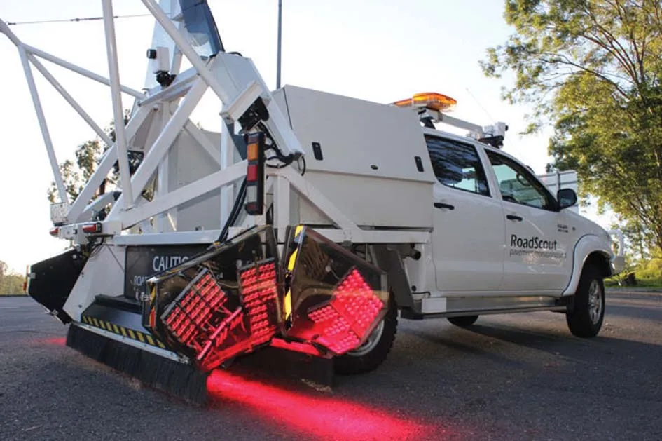
A sophisticated road surface friction monitoring system is now being offered by Telemotion. This advanced Surface Friction System can capture real-time data on road surfaces for winter roads maintenance and warnings for drivers. The system operates on asphalt, concrete or snow, and even accurately calculates the depth of snow on the surface, as well as temperatures.
A sophisticated road surface friction monitoring system is now being offered by 7857 Telemotion. This advanced Surface Friction System can capture real-time data on road surfaces for winter roads maintenance and warnings for drivers. The system operates on asphalt, concrete or snow, and even accurately calculates the depth of snow on the surface, as well as temperatures.
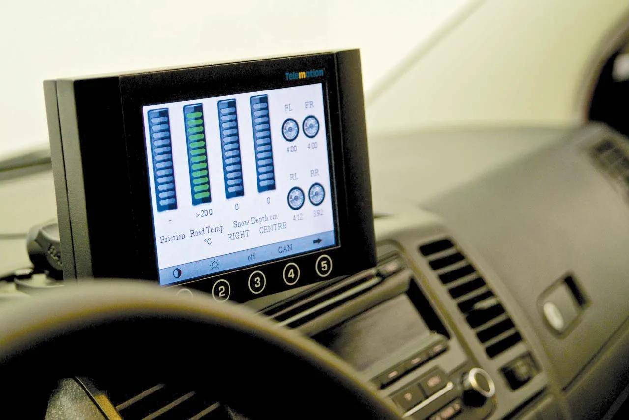
The software can be installed within an existing road-going vehicle, and cuts out the need for separate towed trailers or specialist vehicles. Real-time data gathering allows constant testing and monitoring. Accuracy is boosted by including constant checks on tyre pressures and surface temperatures, both of which can impact on the road surface friction results.
Data is transmitted through a secure server to any designated receiver, for example dedicated devices or office-based computer systems. The in-cab screen allows the driver to see the results of the operation on a monitor. Helsinki is testing the Telemotion system with a view to improving its detailed road maintenance and repair programme, monitor the quality of winter maintenance, and provide detailed, map-based warnings for drivers on the city’s roads.