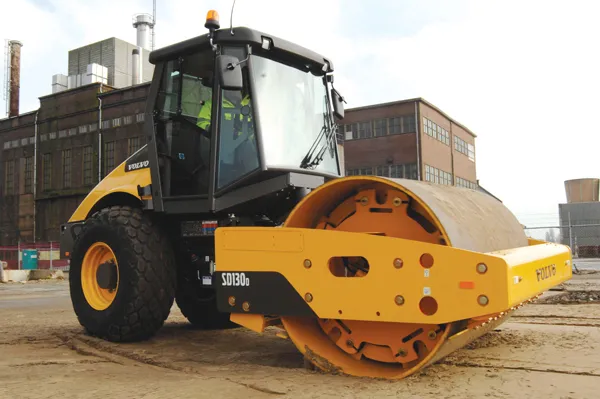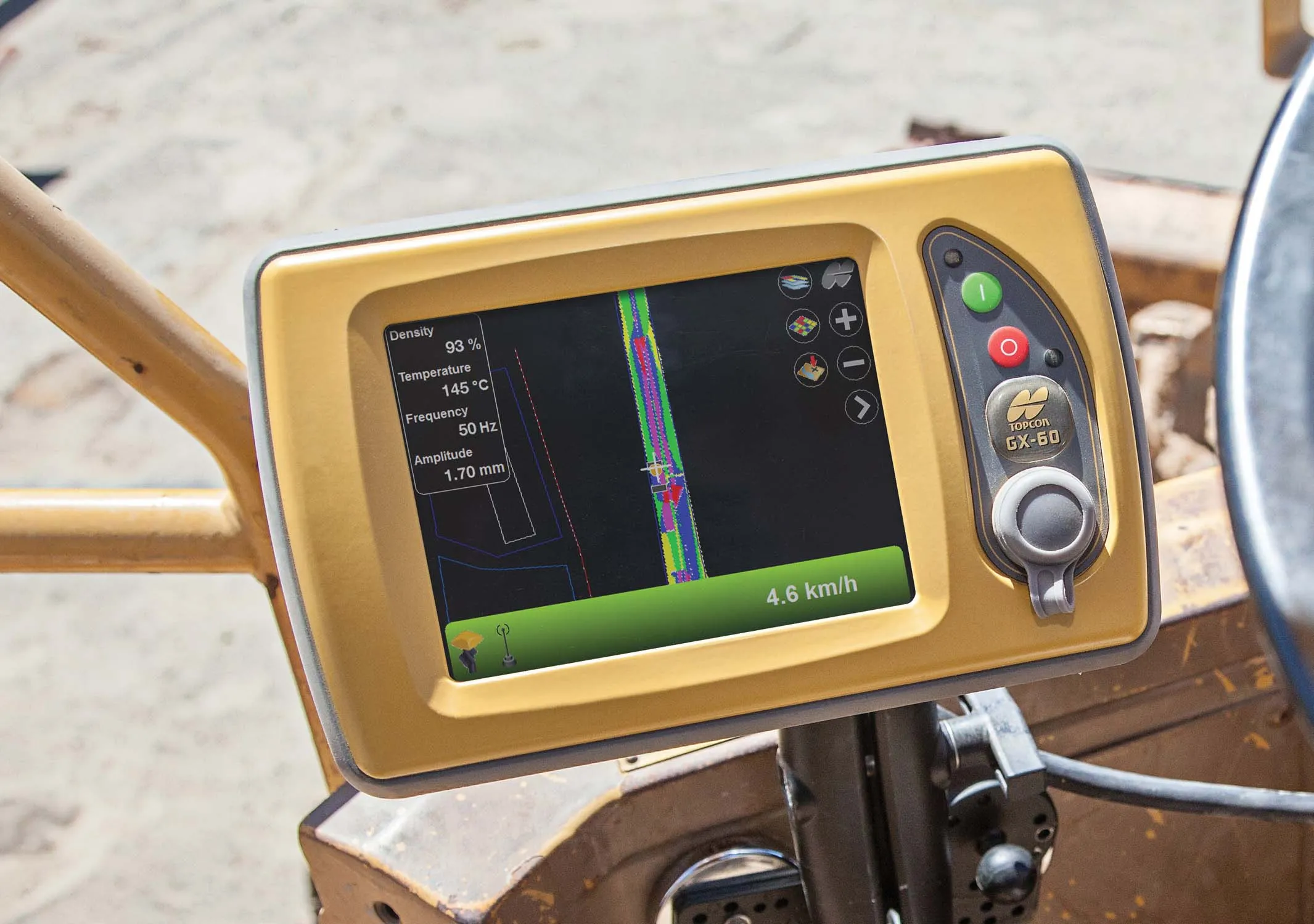
Compaction is important for soil or asphalt applications but monitoring surfaces is difficult with existing technologies. Over- or under-compaction of asphalt in particular can lead to rough roads, premature failures and high repair costs. However Topcon says that the C-63 brings compaction under tight and predictable control, featuring a graphical display that keeps track of pass counts and uses colour-coding to indicate compaction status.
The C-63 can also be integrated into Topcon’s Sitelink3D.net site management system.
This allows operators of all rollers or compactors in the same area to see the work already performed by other machines, preventing wasted efforts of machines travelling over surfaces already compacted to their required amounts.