Road monitoring tehcnology

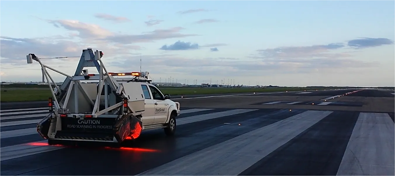
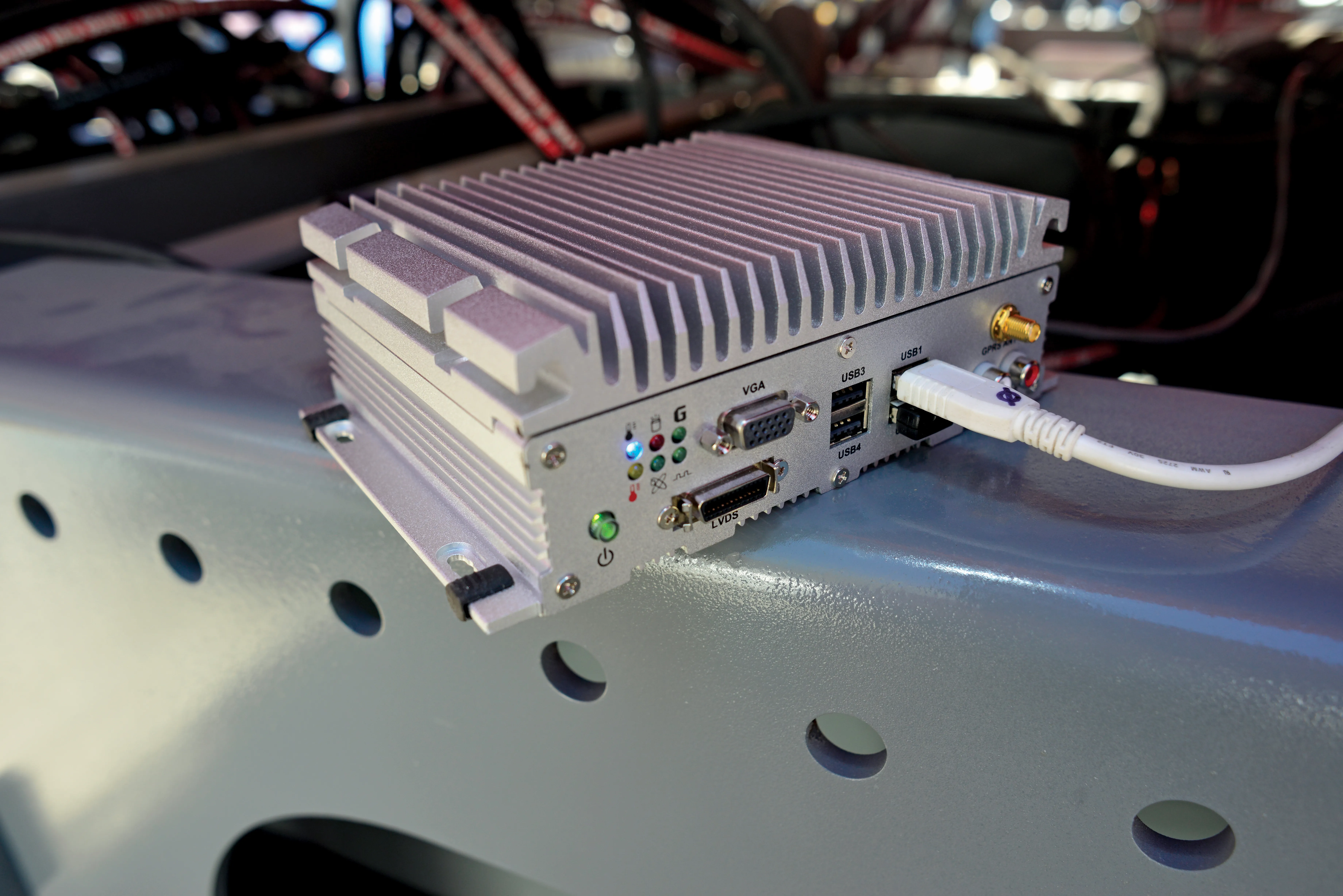
Fugro Roadware says that its sophisticated Automatic Road Analyser (ARAN) data collection platform offers further functions with the development of the latest 9000 model. A product of two years of research and development, the new ARAN 9000 system has a 50% reduction in computing hardware over the previous model but offers the same functions, is fault tolerant, offers a plug and play system integration and uses a Windows-based operating system.
February 28, 2012 Read time: 2 mins
1169 Fugro Roadware says that its sophisticated Automatic Road Analyser (ARAN) data collection platform offers further functions with the development of the latest 9000 model. A product of two years of research and development, the new ARAN 9000 system has a 50% reduction in computing hardware over the previous model but offers the same functions, is fault tolerant, offers a plug and play system integration and uses a Windows-based operating system.

The new and more portable version features realtime sub-cm data synchronisation, sophisticated management software, interfaces in several languages, a user friendly operating system and a modular architecture supporting future upgrades. The latest version now features a database architecture with 1mm data synchronisation and comes with remote diagnostics tools. Designed for pavement management tasks, the ARAN system can determine longitudinal profile and roughness, transverse profile and rutting, surface macro texture and the surface distress rating. The equipment can also determine road geometry, edge drop-off, degree of curvature, radius of curvature and curve start and end coordinates. The system uses digital video technology and offers high resolution imagery with either single or multiple cameras and can log complete roadside asset inventories, while the data output can be formatted for subsequent import into a GIS or Asset Management software environment.

Fugro Roadware has installed the system in a Dodge Sprinter for its own fleet although the ARAN 9000 package can be installed on a range of different vehicles.

For more information on companies in this article

Related Content

  • Brisbane’s Airport: Innovative Management of One of the World’s Busiest Runways
    June 26, 2014
    When it comes to runways, there are few busier then Brisbane’s main runway. Servicing both domestic and international travel, with over 200,000 movements per year, operating without a curfew Brisbane’s main runway is the busiest in Australia. For maintenance, crews only have a limited period of time to determine the pavement condition, normally during the night, making the detection of pavement faults difficult. To resolve this issue, a new high speed pavement scanner was used to rapidly survey the pavem
  • ScanStation C10: sophisticated
    March 1, 2012
    High-speed, versatile laser scanning can now be achieved using the latest technology from Leica Geosystems. The firm's sophisticated ScanStation C10 package features a new high-definition surveying (HDS) scanner that is said to increase surveying productivity and accuracy for both routine surveys and large, complex projects.
  • Machine and machine control innovations in concrete paving
    June 28, 2013
    Machine innovations and machine control advances are the latest news in the concrete paving sector - Mike Woof reports. While machine control systems were pioneered in the concrete paving market, continuous refinement of the technologies is offering major improvements for customers. Customers have a choice now of more than one supplier while the packages are said to be more user-friendly than before. And in addition, the systems themselves can be more closely integrated into the machines due to advances mad
  • Optimising operations with construction software gains
    May 20, 2015
    Innovations in construction software are helping boost project efficiency and optimising project operations – Clive Davidson writes Over the past decade, while construction engineers have been putting up buildings or infrastructure, software engineers have been developing a parallel universe where virtual buildings or infrastructure can be created in ever increasing detail. What started with 2D architectural drawings in computer-aided design (CAD) systems, has become a multi-dimensional world, with 3D ge