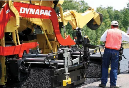
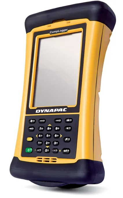
CompLogger, a new hand-held compaction control system is being introduced by Dynapac as a soil compaction analyser. It provides a real-time image of compaction over the entire surface to be compacted. The easy-to-use unit can be used for production planning and throughout compaction and the data can also be saved for future quality control and evaluation.
CompLogger, a new hand-held compaction control system is being introduced by 206 Dynapac as a soil compaction analyser. It provides a real-time image of compaction over the entire surface to be compacted.
The easy-to-use unit can be used for production planning and throughout compaction and the data can also be saved for future quality control and evaluation.
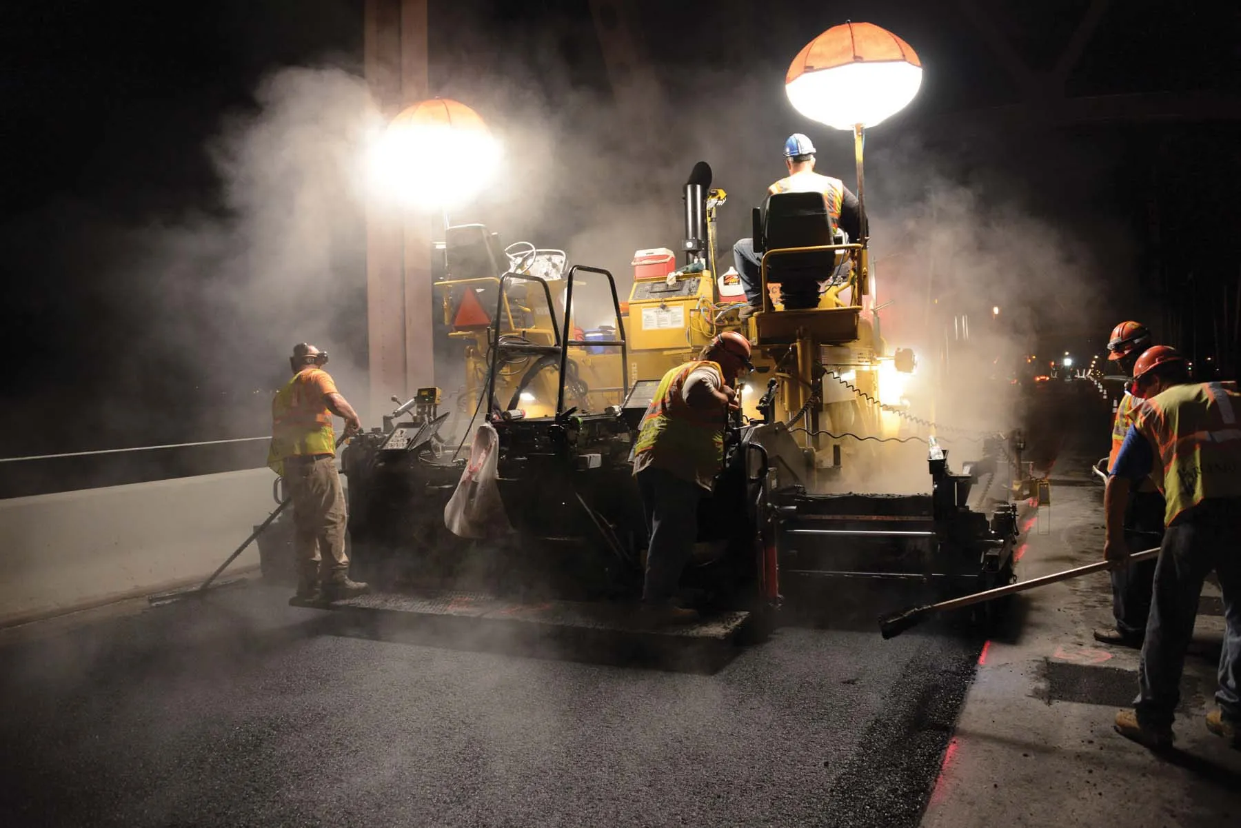
Based on Dynapac´s existing Compaction Meter and Compaction Analyser, the new system is thought to be an industry first and features a rugged PDA and wireless data transfer technology.
CompLogger is a simplified version of the fully comprehensive Dynapac Compaction Analyser System (DCA), which allows the operator to continuously read a direct feedback of the compaction results, enhancing the operator's efficiency and compaction performance.
It is able to accommodate and evaluate a wide spectrum of parameters, including rolling direction, rolling speed, vibration frequency and amplitude as well as the Compaction Meter Value (CMV) as measured by the roller. Compaction results identifying possible problem areas are illuminated with user-friendly graphics.
Areas showing a poor compaction result are quickly identified allowing additional passes. If the compaction value does not improve, the operator is alerted and able to address the problem before the next layer is laid. In this way, for example, the operator is able to recognise and correct any problems while the machines are on site. To return to the project and correct the compaction problems at a later date is both expensive and creates additional delays.
The easy-to-use unit can be used for production planning and throughout compaction and the data can also be saved for future quality control and evaluation.
Based on Dynapac´s existing Compaction Meter and Compaction Analyser, the new system is thought to be an industry first and features a rugged PDA and wireless data transfer technology.
CompLogger is a simplified version of the fully comprehensive Dynapac Compaction Analyser System (DCA), which allows the operator to continuously read a direct feedback of the compaction results, enhancing the operator's efficiency and compaction performance.
It is able to accommodate and evaluate a wide spectrum of parameters, including rolling direction, rolling speed, vibration frequency and amplitude as well as the Compaction Meter Value (CMV) as measured by the roller. Compaction results identifying possible problem areas are illuminated with user-friendly graphics.
Areas showing a poor compaction result are quickly identified allowing additional passes. If the compaction value does not improve, the operator is alerted and able to address the problem before the next layer is laid. In this way, for example, the operator is able to recognise and correct any problems while the machines are on site. To return to the project and correct the compaction problems at a later date is both expensive and creates additional delays.