
Machine control helps with earthquake reconstruction

In Japan the latest machine control technologies are being used to help with earthquake reconstruction. Three years after the major earthquake that devastated Miyagi Prefecture on Japan’s main island of Honshu, the clean-up and reconstruction work is far from complete. In addition to rebuilding infrastructure and buildings, the Japanese Government has had to build a series of major improvements to flood protection.
December 4, 2014 Read time: 2 mins

In Japan the latest machine control technologies are being used to help with earthquake reconstruction.

Three years after the major earthquake that devastated Miyagi Prefecture on Japan’s main island of Honshu, the clean-up and reconstruction work is far from complete. In addition to rebuilding infrastructure and buildings, the Japanese Government has had to build a series of major improvements to flood protection.
~
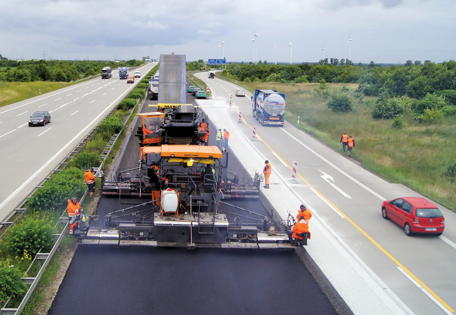
To help speed the rebuilding, sophisticated machine control systems were fitted to the earthmoving machines. Contractor Shimizu installed 1228 MOBA’s Xsite PRO 3D excavation system to move and landscape a total of 52,000m3 of earth within the necessary but tight time slot of just five months. A completely new dyke, taller than before, was built over a total length of 500m in order to ensure stronger and more effective protection against flooding. The tsunami that followed the massive earthquake had swamped the area, causing enormous damage. However the dyke had to feature a steep embankment with an incline angle of 50%, which was challenging to the construction team. But using the 3D system made the process easier than with conventional technologies.

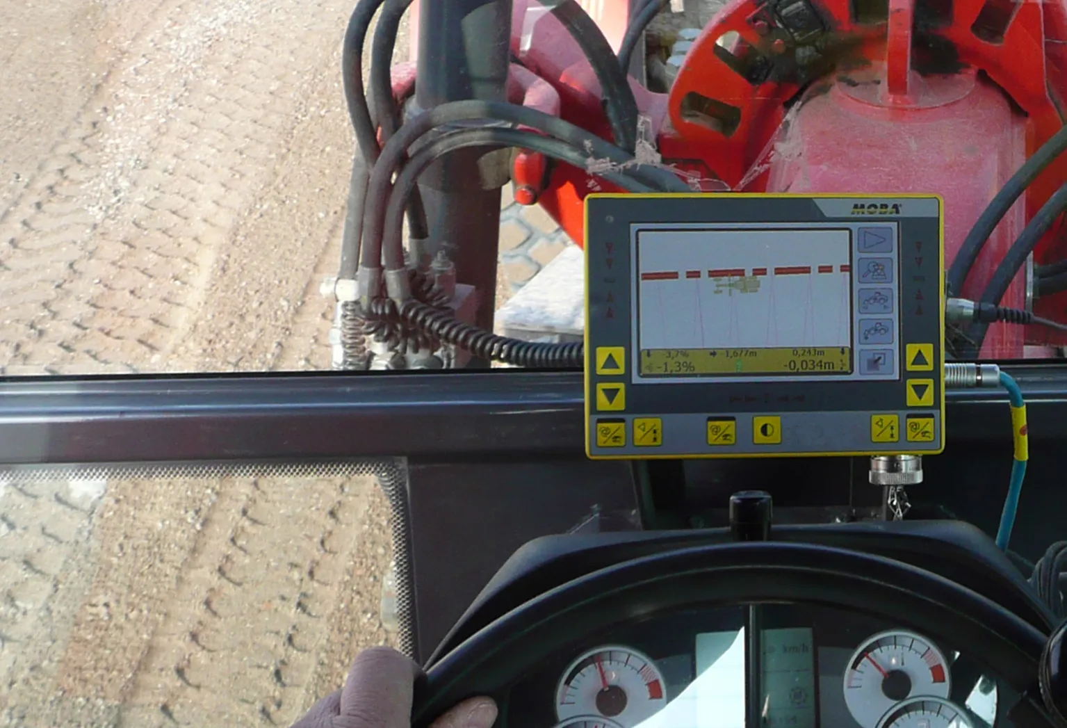
First, the 3D model of the planned dyke, which had been previously created in the office, was transferred to the Xsite PRO system. This model provided the task specification for the excavator operator, along with the respective incline angle and depth specifications. Each work step had to be precisely recorded and represented on the display. Using sensors mounted on the boom, arm, bucket and chassis, the system was able to register the position of the bucket at all times. The machine position and orientation were determined by means of GNSS. The display showed the values in the terrain model, so the excavator operators could recognise when the desired incline angle and depth had been attained and where further material needed to be moved. This allowed the dyke to be built precisely according to the model.

According to the contractor, this resulted in time savings of 15%. Meanwhile there was no need to place stakes on the site, further reducing the time and expense of the job, while it was also possible to avoid having to hire two surveyors for the task of surveying.

For more information on companies in this article

Related Content

  • MOBA’s mobile automation solutions at Conexpo
    January 17, 2014
    MOBA’s new PAVE-IR Scan system offers a new way of monitoring and documenting the temperature during asphalt paving for an entire project. As a result, contractors can optimise their work and verify the quality of the paving process. With the system’s intelligent temperature scanner, the system measures the asphalt temperature over the whole paving width of up to eight metres. The temperature profile is displayed in real-time on the display and the operator can react at any time if irregularities occur. All
  • Machine Control sector is the place for acquisitions
    January 22, 2014
    The machine control sector has been lively in recent months with a major acquisition, the unveiling of new software innovation and landmark testing of new technology to monitor paving temperature. Guy Woodford reports The state road construction authority in the German state of Saxony-Anhalt (LSBB Saxony-Anhalt) has become the first nationally to test MOBA’s new PAVE-IR Scan temperature measurement system at a works site.
  • Automatic control
    February 7, 2012
    Leica Geosystems says that sophisticated PowerDigger 2D guidance system for excavators offers automatic slope control. The system expands on its PowerSnap technology and is said to make excavating easier and more productive. The system uses a standard panel whether fitted to a dozer, excavator or grader, which is also said to save money on training and equipment, as well as reducing down time. Leica PowerDigger 2D system allows multiple elevations and slopes to be constructed at any orientation, witho
  • Rapid adoption of GPS machine control
    April 5, 2012
    The high sophistication of GPS machine control systems has resulted in a fast pace of technological advancement. The three major players in the machine control sector, Leica Geosystems, Topcon and Trimble have all made major gains in recent years. The sophistication of the latest systems can combine satellite position data from the GPS and GLONASS networks with information from total stations to provide precise, high speed machine operation. Further more the firms have also prepared themselves for the intro