Soil compaction efficiency boost from Trimble

Trimble claims that its new Earthworks Grade Control Platform version 2.4 soil compactor package offers a major gain in working efficiency
August 24, 2021 Read time: 2 mins
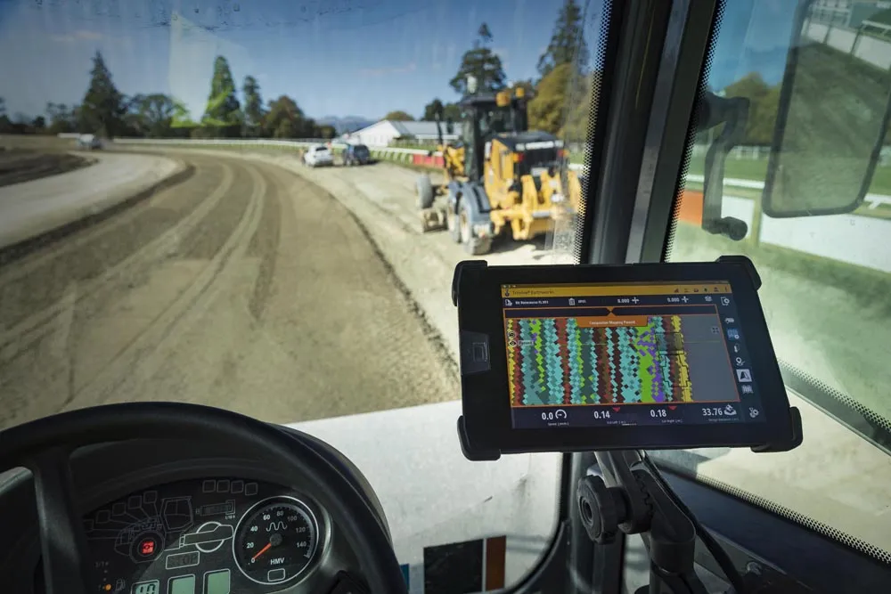
Trimble is now offering a sophisticated Earthworks system for use in soil compaction

This software is a GNSS-based, 3D compaction control solution that makes operations more accurate, faster and easier. The package shares the same benefits as other Trimble Earthworks software tools already available for excavators, dozers and motor graders, which deliver improved productivity.

Trimble Earthworks for soil compactors enables contractors to control the compaction process accurately, reducing the risk of unnecessary passes that can result in over compaction. The platform makes the process more efficient, with a higher level of accuracy and less rework. As this package shares the same platform as other tools from the firm, contractors can benefit from shorter training times, reduced downtime and increased remote operator support in the field. In addition, users can benefit from ongoing platform developments as these become available.

Improvements in material/surface lifts and layer management allow for accurate data and convenient data management. Office-to-field connectivity allows efficient communication and data transfer across the project. Contractors have ready access to productivity data collected from the machine allowing comparisons between work previously completed and work just carried out.

Trimble Earthworks for soil compactors features software licensing options at different pricing levels for budget conscious contractors. New infield design licenses for operators or 3D model-only licenses for increased functionality in the office make it possible for contractors to only pay for the features that they need. 

For more information on companies in this article

Related Content

  • Accurate grading for Caterpillar using Leica Geosystems technology
    October 2, 2023
    Accurate grading is possible for Caterpillar machines using Leica Geosystems technology.
  • Laser scanning focuses on asset management
    January 9, 2015
    Laser scanners and improved data collection and analysis software are making light of asset management surveying. David Arminas reports The age of the laser scanner is upon us, taking over from traditional manual methods of surveying, data collection and processing. These new technical developments are making it much easier to process and use the data captured and are providing highways engineers with powerful tools to record, map and visualise their assets. This is good news for highways authorities
  • How data mining and the intelligence it creates is helping sites run more effectively and efficiently
    December 13, 2022
    In this, the third in our series of top-level roundtable discussions led by World Highways, editor Mike Woof and roundtable host Nadira Tudor talk machine control technology with three world-class experts from Leica Geosystems (part of Hexagon), Topcon, and Trimble. There’s never been a more exciting time to be in construction as innovation makes us more productive, more efficient, more sustainable, and better connected. Autonomy means opportunity.
  • Longer lasting road surfaces with advanced asphalt paving
    February 20, 2012
    Contractors face an array of sophisticated paving technologies, Mike Woof reports. Asphalt paving technology continues to advance as manufacturers develop more efficient and reliable equipment. Paving techniques are also improving, while new polymer modified bitumen materials and recycling methodologies further increase the range of road surfacing options available to the client and contractor.