Firm Grip: Liebherr, Leica and Steelwrist

The Leica Co-Pilot system controlling the Steelwrist X32 tiltrotator makes the job that little bit quicker and more accurate.
By David Arminas March 11, 2021 Read time: 2 mins
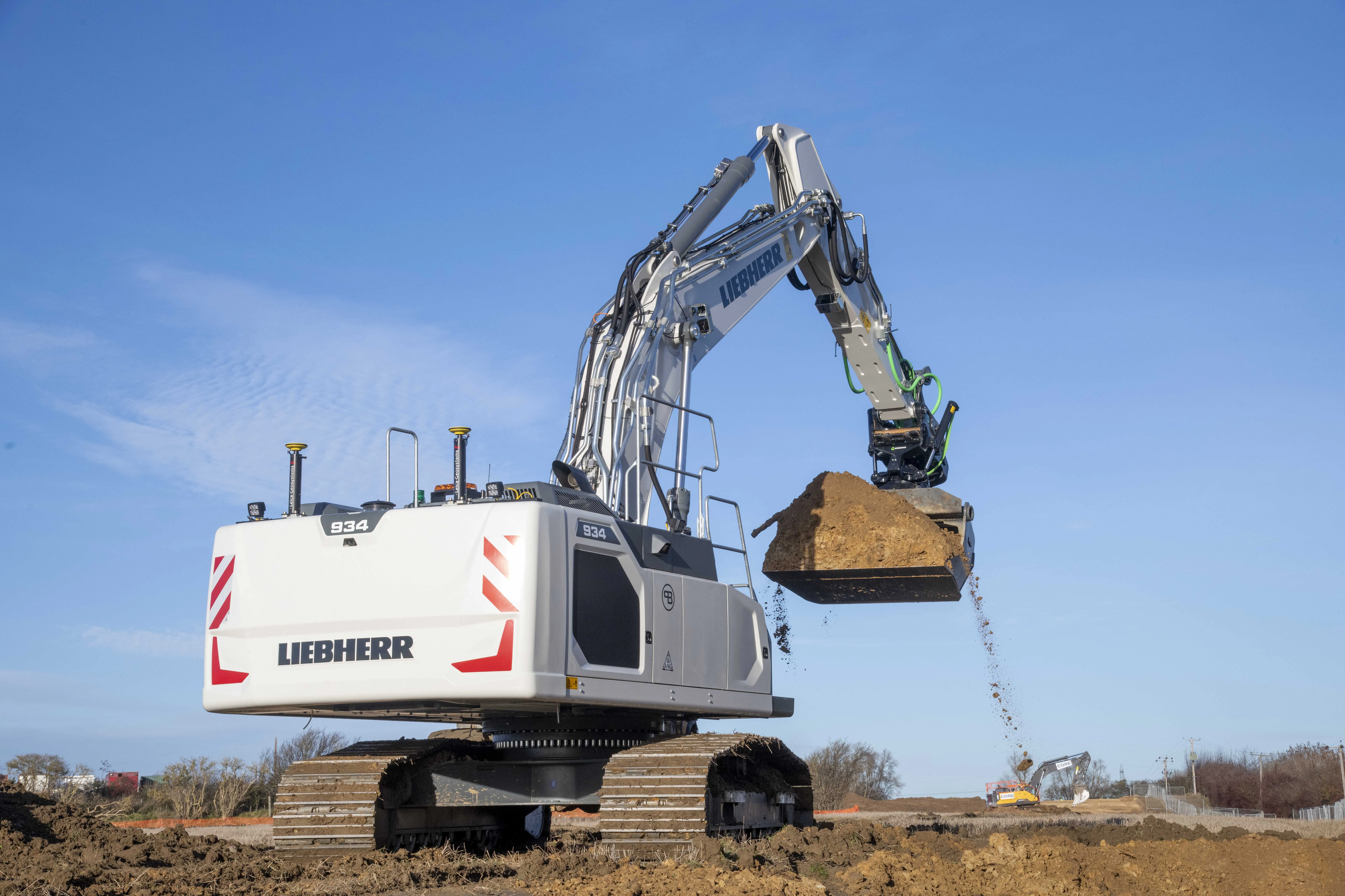
Winning combination: the Leibherr R 934 G8 crawler fitted with GPS guidance from Leica Geosystems and with a Steelwrist X32 tiltrotator attachment

The first Liebherr excavator in the world with a factory-fitted Leica machine control system has gone into service with a UK civil engineering contractor.

An R 934 G8 crawler, the first to leave the factory in France since Liebherr and Leica Geosystems joined forces last year, has been added to the fleet at Brad-Pave. It is equipped with the Leica 3D passive system soon to be updated to include automatic inclination/rotation function.

Brad-Pave - which employs only four people and is based in England - specialises in road construction, deep drainage and earthmoving.

The machine arrived in the UK towards the end of last year with an operating weight of almost 38.5 tonnes. But soon after, a Steelwrist X32 tiltrotator on 80mm pins was added, taking the total package to just over 40 tonnes.

“We’ve used GPS guidance for a number of years and having the opportunity to have an integrated system on a Liebherr excavator was an ideal scenario for us,” said Paul Bradshaw, director of Brad-Pave.

“We are hoping that one of the benefits of taking this option will be the increased reliability of a built-in system. Not only does it do away with the requirement for traditional setting-out but it is almost 100% fool-proof. The addition of the Leica Co-Pilot system controlling the Steelwrist will just make any project that little bit quicker and more accurate,” said Bradshaw.

The partnership between Liebherr and Leica Geosystems enables customers to buy generation 6 and 8 crawler and wheeled excavators with 2D or 3D control systems as an option.

Leica Geosystems, part of the Hexagon Group, supplies of sensors, software and services for surveying, construction, infrastructure, mining, mapping and other geospatial content-dependent industries.

For more information on companies in this article

Related Content

  • Airport expansion for the Maldives assisted by Trimble
    September 6, 2019
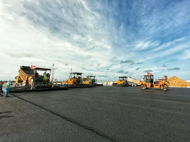
    An airport redevelopment and expansion project in the Maldives has been assisted by the use of technology from Trimble. In 2016 the Chinese firm Beijing Urban Construction Group (BUCG) was awarded the contract for the expansion of the Ibrahim Nasir International Airport on Hulhule island in the Maldives, which is part of the Indian Ocean island group. The massive US$440 million expansion and land reclamation work is intended to boost capacity at the Maldives Airport. BUCG has utilised Trimble field solu
  • Webuild is investing in underground technology
    May 15, 2024
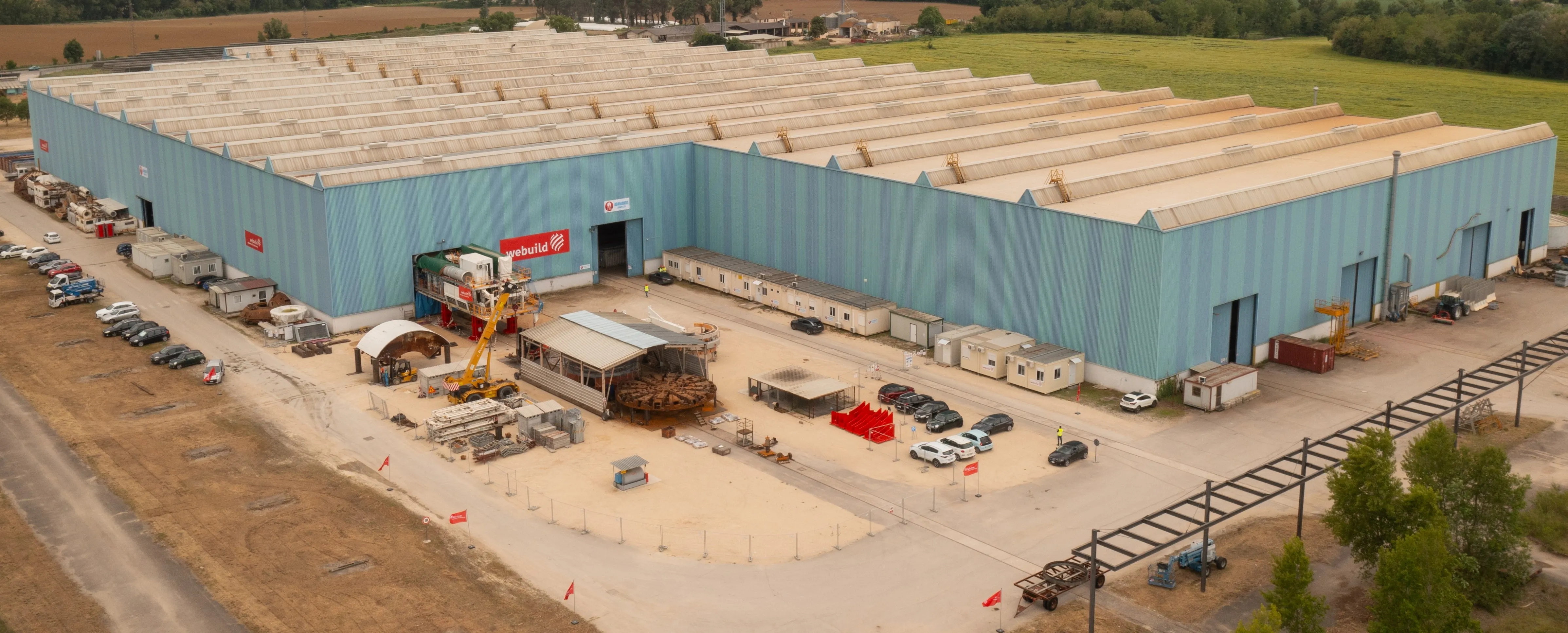
    Italian firm Webuild is investing in underground construction technology.
  • Subaru ventures into China
    November 8, 2012
    Fuji Heavy Industries (FHI), parent company of Subaru Industrial Power Products, has signed an agreement creating a joint venture company in Shanghai, China. The agreement, signed in partnership with Toyota Tsusho (China) Co. Ltd, was due to lead to Subaru Industrial Power Products of China Co. Ltd starting full trading from September 2012. Subaru’s investment and expansion in the Chinese market is said to be a strategic move to stay ahead of the growing demand for industrial products in the country. In ad
  • Supergeo offers GIS training tool
    April 27, 2015
    Supergeo Technologies says that its latest packages offer effective training for both GIS users and non-GIS professionals, as well as new tools for sharing geospatial data. The training offering comes in the shape of free online courses with extensive learning materials. The firm says that it is a leader in the field with its state-of-the-art GIS technology and is able to assist personnel from various industries to address different tasks with spatial information. A comprehensive series of online course