Nepal's traffic improvements on track

Nepal's Department of Roads is now analysing traffic data based on research work into congestion carried out by consultants. Two local consulting firms were appointed to carry out a study of flyovers, underpasses and ramps in congested areas.
April 26, 2012 Read time: 1 min
2664 Nepal's Department of Roads is now analysing traffic data based on research work into congestion carried out by consultants. Two local consulting firms were appointed to carry out a study of flyovers, underpasses and ramps in congested areas. The work focussed on major intersections where traffic jams have affected the whole system. Kalimati, Tripureshwor, Thapathali, New Baneshwor and Old Baneshwor have been identified as the most congested areas where traffic congestion has to be improved. The studies are now complete and different options have been proposed for each intersection based upon the location. The Department of Roads is now consulting with the stakeholders along with the authorities. The Kathmandu Metropolitan City, 2437 Ministry of Physical Planning and Works, Transport Ministry, Traffic Police and the Transport Association are all involved in the consultation process. Construction of the improved intersections will be completed in 3-5 years with the aim of coping with traffic growth for the next 15 years. The Nepalese Government is also widening key roads in Kathmandu at present so as to address traffic congestion.

For more information on companies in this article

Related Content

  • Improving water management from roads
    August 19, 2015
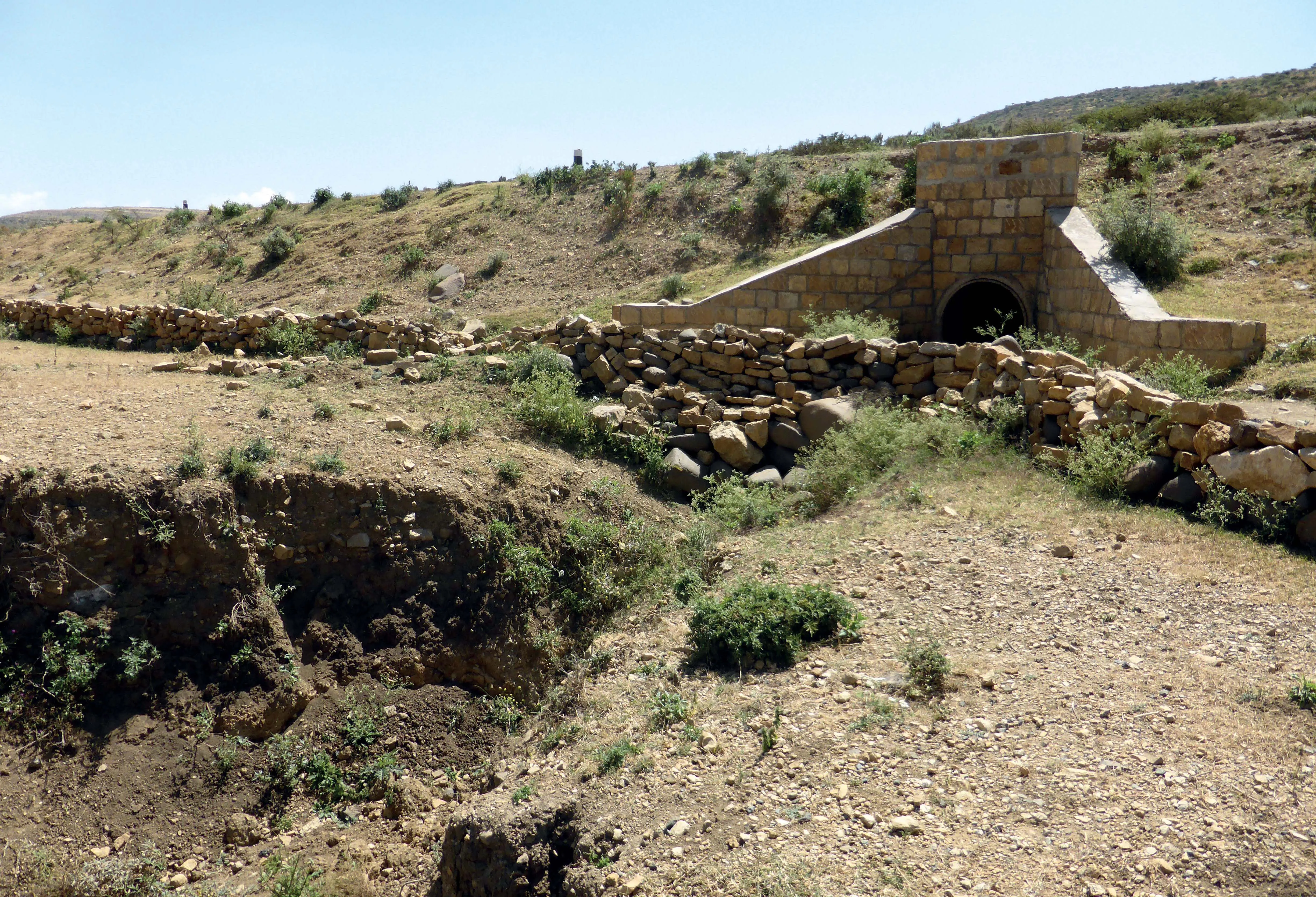
    A new road design can improve local water supplies. A new road design could help mitigate heavy flooding during rainy seasons and alleviate water shortages in dry periods. This innovative concept is a winner in the IRF’s Global Road Achievement Awards, in the Environmental Mitigation category. Road designs often exacerbate issues arising from heavy rainfall. However, a new initiative is making roads instruments for harvesting wate and for improving land productivity along the roads. The Roads for Water and
  • TRA 2014 showcases the best of cutting-edge transport research and thinking
    July 1, 2014
    Despite tight finances due to the current global economic climate, the recent Transport Research Arena (TRA) 2014 show in Paris showed how innovative transport research, largely using cutting-edge ITS, is creating safer and smarter highways of the future. Guy Woodford reports How far can you drive around a car race track with no other vehicles on it on half a glass of fuel while attempting to maintain a speed of 60kph? After taking up the challenge offered by the Eco Driving Simulator using SiVIC (Simulatio
  • London police mapping crash data
    June 27, 2013
    London’s Metropolitan Police Service is using the latest desktop mapping software to collate essential data about road traffic collisions. The advanced Geographical Information System (GIS) from GGP Systems in being used to identify and map the exact location of incidents where a personal injury has occurred and prepare detailed reports for the Department for Transport (DfT) and Transport for London (TfL). This can be used to highlight problem areas, with plans for improving infrastructure then being drawn
  • Traffic crashes cost US motorists almost $300 billion per year
    April 26, 2012
    The annual societal cost of traffic crashes is $299.5 billion, more than three times the $97.7 billion cost of congestion, according to a report released by the American Automobile Association (AAA). Its "Crashes vs. Congestion – What's the Cost to Society?" report highlights the overwhelming and far-reaching economic impacts traffic safety crashes have on the nation and encourages policymakers at all levels of government to ensure safety is a top priority.