TomTom chosen by Delcan and the AA

TomTom has announced a partnership with Delcan Corporation in which historical traffic data will be used for the Strategic Highway Research Program 2 (SHRP 2), which is managed by the Transportation Research Board of the National Academies.
March 16, 2012 Read time: 1 min
3972 TomTom has announced a partnership with 2698 Delcan Corporation in which historical traffic data will be used for the Strategic Highway Research Program 2 (SHRP 2), which is managed by the 2774 Transportation Research Board of the National Academies. By using anonymous GPS-based measurements from the TomTom historical traffic database, Delcan and its partners will develop models for travel time reliability analysis and research as part of the programme. The TomTom traffic database allows Delcan to use actual traffic measurements without the cost, time and complexity of traditional survey methods.

In a separate announcement, TomTom says it will be providing its HD Traffic service to the UK’s Automobile Association for the 3440 AA’s traffic news website showing a live view of road conditions and areas of congestion across the UK. HD Traffic creates a picture of traffic conditions as they evolve and contains information from multiple data sources, including connected navigation devices, mobile phones, road sensors and real time incident data. Updates are provided every minute ensuring the AA’s customers are fully aware of the current road conditions before they start their travel.

For more information on companies in this article

Related Content

  • EarthSense Systems releases air pollution map of the UK
    June 15, 2018
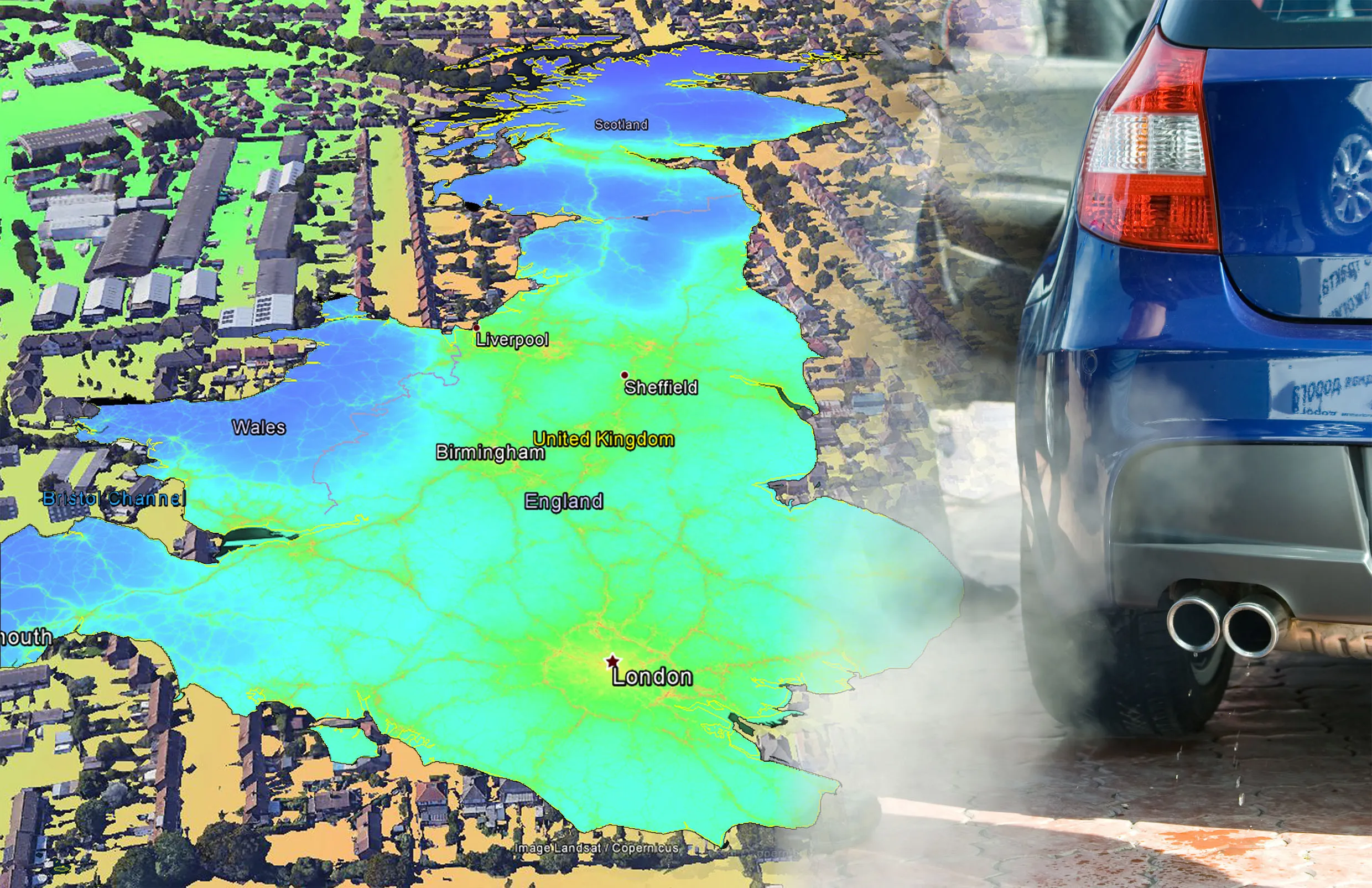
    EarthSense Systems has published MappAir, a high-resolution map of air pollution throughout the entire UK. MappAir shows how air pollution - specifically nitrogen dioxide - changes across the country and within towns and cities, highlighting likely sources and potential clean-air refuge areas. It combines data from satellites and its EarthSense Systems’ own air quality monitoring sensors along with open source data. The result, using complex modelling, creates a highly accurate map at 100m resolution, says
  • EarthSense Systems releases air pollution map of the UK
    June 26, 2018
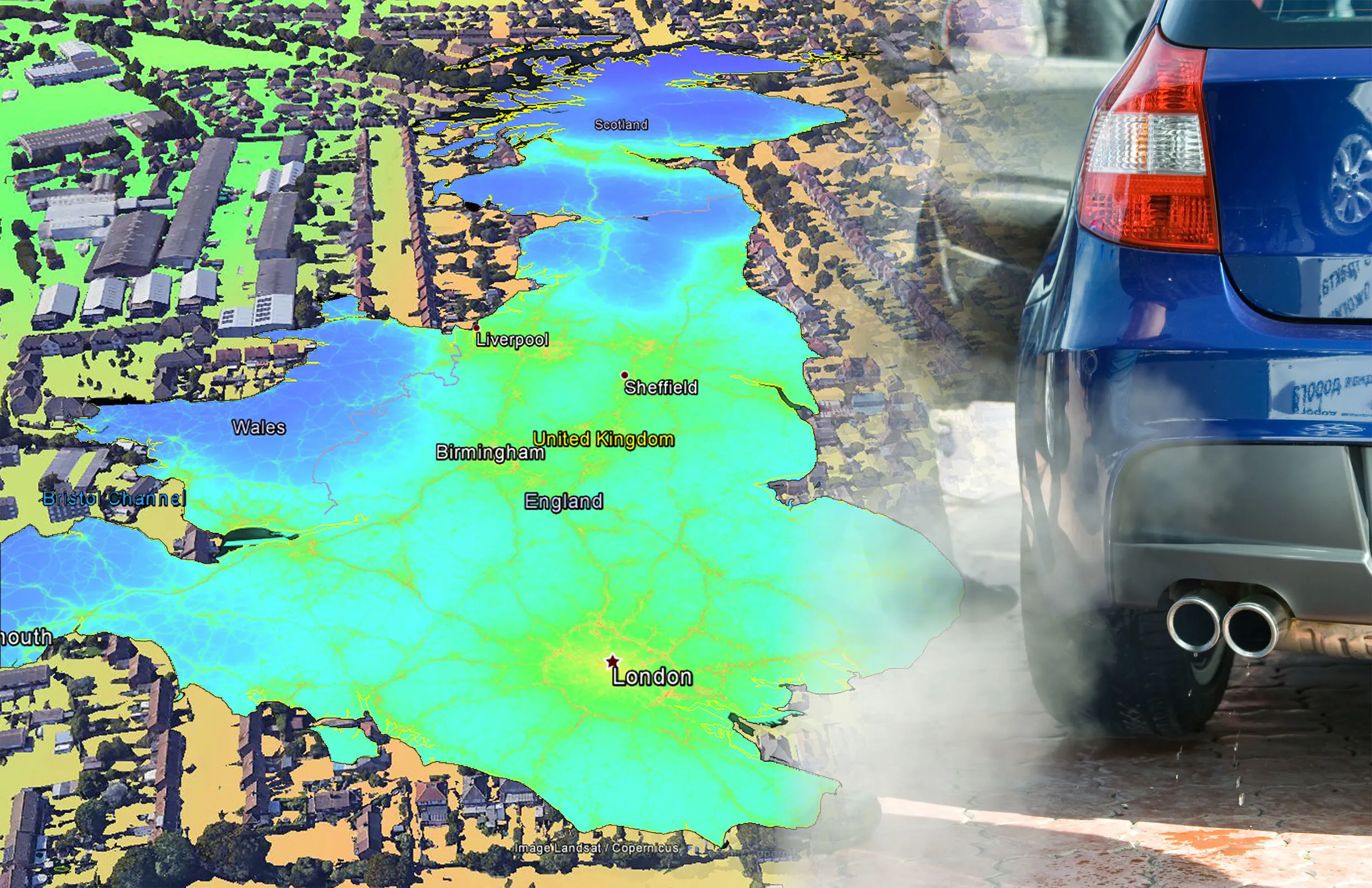
    EarthSense Systems has published MappAir, a high-resolution map of air pollution throughout the entire UK MappAir shows how air pollution - specifically nitrogen dioxide - changes across the country and within towns and cities, highlighting likely sources and potential clean-air refuge areas. It combines data from satellites and its EarthSense Systems’ own air quality monitoring sensors along with open source data. The result, using complex modelling, creates a highly accurate map at 100m resolution, says
  • Life DYNAMAP: real-time mapping of road infrastructure noise
    October 15, 2015
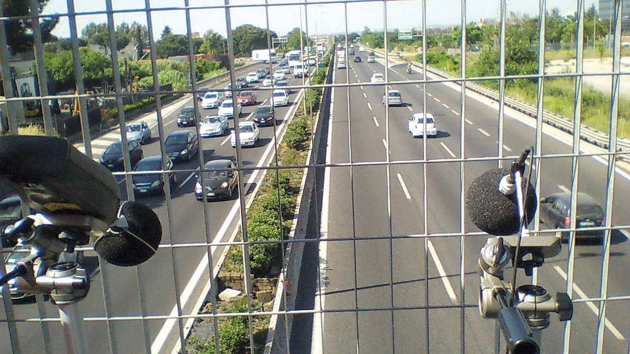
    The world’s best road infrastructure project can also have the world’s worst traffic noise problem. But where to start defeating this noise pollution? Road traffic noise is one of the most obvious aspects affecting the quality of life in urban areas. To combat this, local, national and international authorities have developed initiatives to avoid, prevent or reduce exposure to noise. One of these initiatives – Life DYNAMAP – is underway by a group of researchers in Germany, Spain and Italy. The project is f
  • Innovative road maintenance tool to be trialled
    November 14, 2019
    Eurovia UK and Academy of Robotics are entering into a partnership to trial the use of Academy of Robotics' Kar-go AI technology for road maintenance. The partnership will see Eurovia UK testing the use of Kar-go technology to automate the delivery of small plant equipment, tools, materials and other components to and from a highway work site as well as the potential use of data collected by Kar-go as it travels, to determine the condition of roads.