Laser scanners and improved data collection and analysis software are making light of asset management surveying. David Arminas reports
The age of the laser scanner is upon us, taking over from traditional manual methods of surveying, data collection and processing. These new technical developments are making it much easier to process and use the data captured and are providing highways engineers with powerful tools to record, map and visualise their assets.
This is good news for highways authorities

Laser scanners and improved data collection and analysis software are making light of asset management surveying. David Arminas reports
The age of the laser scanner is upon us, taking over from traditional manual methods of surveying, data collection and processing. These new technical developments are making it much easier to process and use the data captured and are providing highways engineers with powerful tools to record, map and visualise their assets.This is good news for highways authorities who need to stretch their budgets and get information faster than ever to make strategic decisions about infrastructure investment.
The very familiar
In a major step up from this, Arithmetica has developed SphereVision, a 360° video mapping system that can be fitted to virtually any vehicle, from trucks to motorcycles. It can even be fitted to a harness worn by a bicycle rider. The geo-referenced images can be viewed as a video or as high-resolution still images, allowing highway engineers to examine assets in detail before they visit a site, a real time-saver.
Another visual asset surveying technique is terrestrial 3D laser scanning, whether using handheld scanners like the ZEB1 or the vehicle-based StreetMapper system, both available from
While the collection of data by laser surveys is improving, it also creates the challenge of how to make sense of so much data, now typically more than 1 million data points per second. This really is so-called Big Data delivered in a single swoop and you need to be able to make sense of it – in particular, if engineers want to extract specific features such as whole assets, damage or wear and tear. The raw scanner information, known as Point Cloud data, is often processed manually to provide vector data for the 3D image of the asset. But this is time consuming, not to mention a costly procedure, that software engineers have been hard at work to make more efficient.
One such software innovation from Arithmetica, called Pointfuse, enables highways engineers to quickly convert Point Cloud data generated by laser scanners such as LiDAR into high-fidelity vector models for use in CAD and GIS packages. It takes data from laser scanners mounted on vehicles, survey planes, tripods and even held by people. Pointfuse recognises and extracts objects and features without manual intervention, which is important when dealing with large amounts of data such as a highways survey captured from a moving StreetMapper-type vehicle.
Construction and infrastructure company
“A suitable analogy would be when first looking at a dot-to-dot puzzle, the dots could be anything. Once the dots form a recognised shape, your brain starts to visualise the complete picture. Pointfuse does this quickly by generating 3D surfaces and polylines,” said Mark Lawton, chief engineering surveyor at Skanska Civil. A lot of the line work normally drawn in other packages is drawn automatically, reducing CAD time.
Skanska also is using the 360° SphereVision camera system, another Arithmetica product, to survey and video map highways, a major market for asset management software developers.
“It is so lightweight that a single person could mount it on a vehicle without assistance,” said Ian Stilgoe, director of geomatics for Topcon. The system pairs with Topcon’s Mobile Master Office software to perform all post-processing functions in a single application. “Mobile Master Office software offers a complete workflow in a single package, turning raw sensor data collected by the IP-S3 system into rich and precise point clouds and images.”
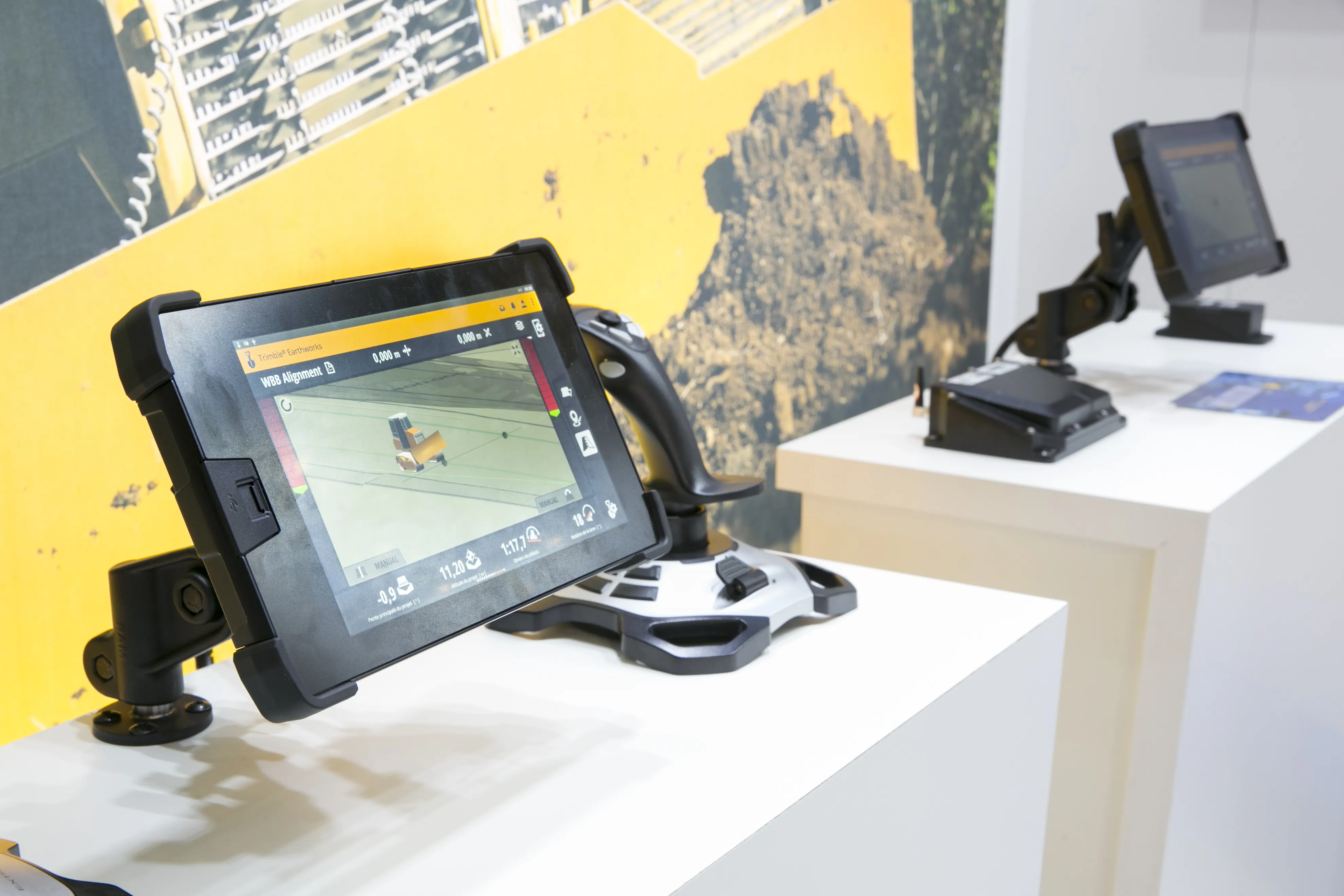
Topcon also launched an update to its 3D positioning systems designed for one-operator layout – the LN-100W – and which includes Bluetooth functionality. “Now operators have an additional wireless communication option that will provide greater versatility with devices such as tablets that might not be WLAN ready,” said Ray Kerwin, Topcon’s director of global surveying products. The LN-100W also retains the self-levelling, one-operator 3D layout features of the original model. Topcon Positioning Group improved its motorised direct-aiming line measuring stations with the addition of imaging capability.
The DS-200i now provides real-time, touch-screen video and photo imaging to capture measured positions and can be used as a hybrid positioning instrument, combining the total station with GNSS positioning for added measuring flexibility in obstructed environments. Standard additional features of the series include Xpointing technology for quick and reliable prism acquisition, LongLink communications, TSshield telematics security and maintenance technology, along with a rating of IP65 for water-resistant construction.
Sokkia updates NET AXII
The latest versions of
The NET AXII auto-collimation system allows the measuring station to lock on to targets that are closest to the centre view of the telescope, providing long-range precision even in low light conditions. The unit’s Reflector Prescan technology improves setup efficiency by automatically locating approximate reflector positions, even in situations where they cannot be seen visually. Additional features include Bluetooth connectivity, an IP65 durability rating and TSshield security and maintenance.