XenoTrack on track

XenoTrack Dual Lane was officially launched this month at GeoWeek, a major event for the geospatial and 3D sector that took place in the US city of Denver.
April 25, 2023 Read time: 1 min
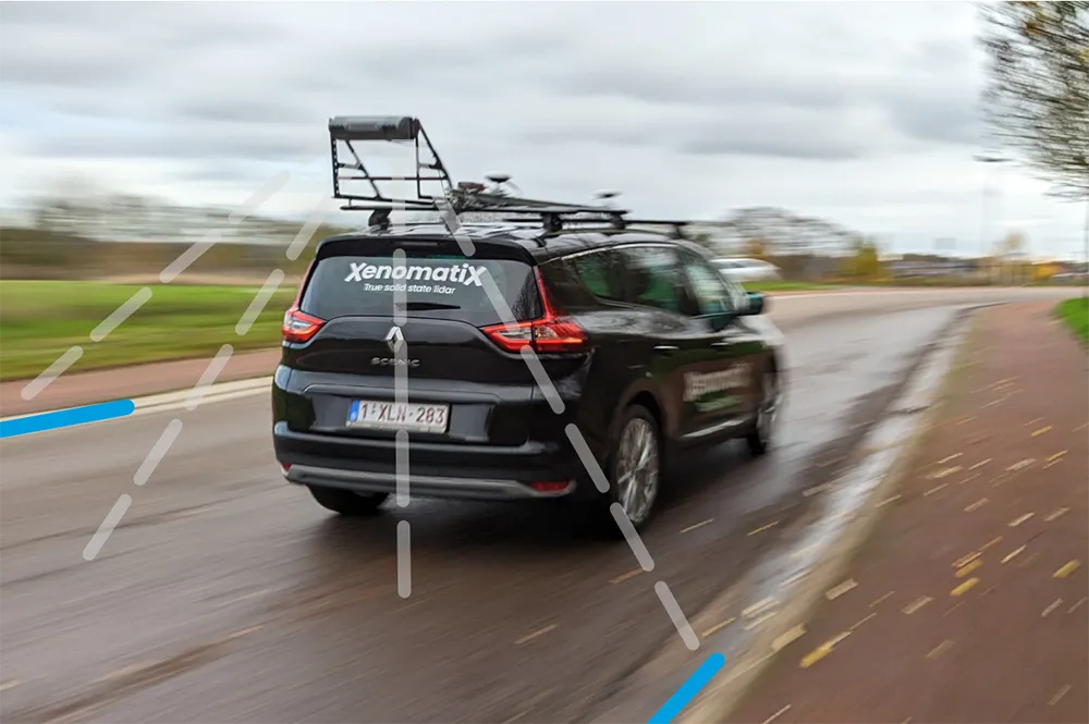
The latest version of XenomatiX’s road lidar XenoTrack inspection system covers two lanes in one pass.

XenomatiX, a solid state lidar company specialising in road asset management and digital twins of roads, launched the XenoTrack Single Lane system last year. Now, the company says that with the Dual Lane system, it “took a step-in easing 3D pavement measurement”.

Traditional road assessment systems are limited to measuring the width of one or part of a road lane on each pass. But XenoTrack Dual Lane surveys two neighbouring lanes in a single pass. While the vehicle drives in one lane, the system simultaneously measures the road surface condition of that lane and the neighbouring lane.

All XenoTrack products including the Dual Lane system, use a highly accurate lidar as main component, offering 3D and intensity maps of the road surface.

For more information on companies in this article

Related Content

  • EU noise levels rising
    July 31, 2012
    The EU funded SILENCE project maps the transport causes and possible solutions for reducing noise, reports Alan Peterson With Europe's ever-increasing population growth, the issue of noise for its 100 million citizens is becoming a pressing problem. Over 25% are exposed to critical transport-related noise, according to research by the EU funded SILENCE project, which reported its findings in Germany in May. The purpose of SILENCE is to develop an integrated methodology and technology for the improved contro
  • New methods for non-destructive concrete testing
    August 29, 2017
    How best is it possible to assess the state of concrete in a road pavement, bridge deck or tunnel wall? One of the most reliable ways is to take a core of concrete from the structure to analyse and test in the laboratory. One downside to this method is that doing the test creates weak points in the structure that must then be repaired. Another is that the frequency of such cores cannot be too great – so it is possible that some problem areas will be missed. New technologies from the world of geospatial eng
  • Mapping effectively with vehicle-based imaging
    July 23, 2012
    Yotta is offering an innovative vehicle-based imaging service that will provide accurate high-resolution panoramic street-level views of highway features. The vehicle is equipped with a 60 megapixel panoramic camera developed by Yotta and uses Applanix satellite positioning technology to log the exact location of each image. The vehicle cam improves street-level mapping operations with accurate 3D images of buildings and other highway features, such as signs, trees, barriers and fences. Called Y360, the veh
  • Big measuring from TinyMobileRobots
    February 27, 2017
    Small is beautiful, especially when it comes to robots, explains Jens Peder Kristensen, director of Danish company TinyMobileRobots With the increased functionality of outdoor robots, the market for autonomous robots as a replacement for human work has widened. The human touch is still needed when dealing with terrain that is difficult to navigate or with a crowded construction site.