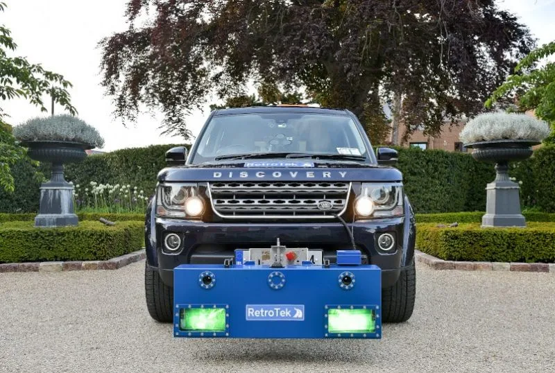
The systems are for a project in Maryland’s Montgomery County which starts at the end of this month. It involves the installation of Vitronic’s 90 POLISCAN FM1 systems, which offer both speed measurement and automatic license plate recognition (ALPR).
Vitronic is also supplying 11 Compact City Housing systems with a working height of 3m, which makes them ideal for sites where space is limited, according to the company.
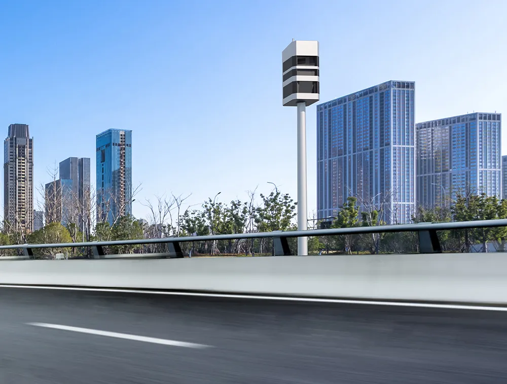
Conduent has entered into a 10-year operator contract with Montgomery County. The new Vitronic systems will replace existing radar based speed enforcement systems with scanning LIDAR-based systems.
In addition to speed measurement, the systems recognise license plates. This enables the county’s law enforcement authorities to precisely determine which vehicles are driving around their territory. In this context, ALPR is extremely useful for identifying stolen vehicles, checking that vehicle tax and insurance have been paid and finding cars for which alerts have been issued.
Montgomery County’s speed enforcement programme has already significantly reduced the number of offenses, according to a 2016 study published by Insurance Institute for Highway Safety. The IIHS is an independent, nonprofit scientific and educational organisation dedicated to reducing deaths, injuries and property damage from motor vehicle crashes through research and evaluation and through education of consumers, policymakers and safety professionals.
For example, the probability of vehicles in the enforcement areas exceeding the maximum speed by more than around 15kph (10mph) fell by 62 percent. The risk of accidents involving serious injury and death was also reduced, falling by 39 percent.
“Scanning LIDAR technology has clear advantages over radar-based systems,” explains Niclas Andersson, vice president at Vitronic’s US division. “For instance, precise measurements can be taken at all times and in all weather, even in heavy traffic and over several lanes. There is no risk of data capture errors due to ghosting as each measurement is uniquely assigned to the respective vehicle. Scanning LIDAR also makes it possible to clearly differentiate between vehicle classes.”
Vitronic, based in Germany, has a portfolio of systems and software for image and sensor-based quality inspection, identification, traffic monitoring and toll collection. Apart from traffic and tolling, the company develops products and customised solutions for use in automation, healthcare, photovoltaics and logistics automation.