
Signs of future times from Costain and Swarco

Contractor Costain and Austrian manufacturer Swarco have collaborated to create and install the UK’s next generation of digital road message signs.
February 13, 2020 Read time: 1 min

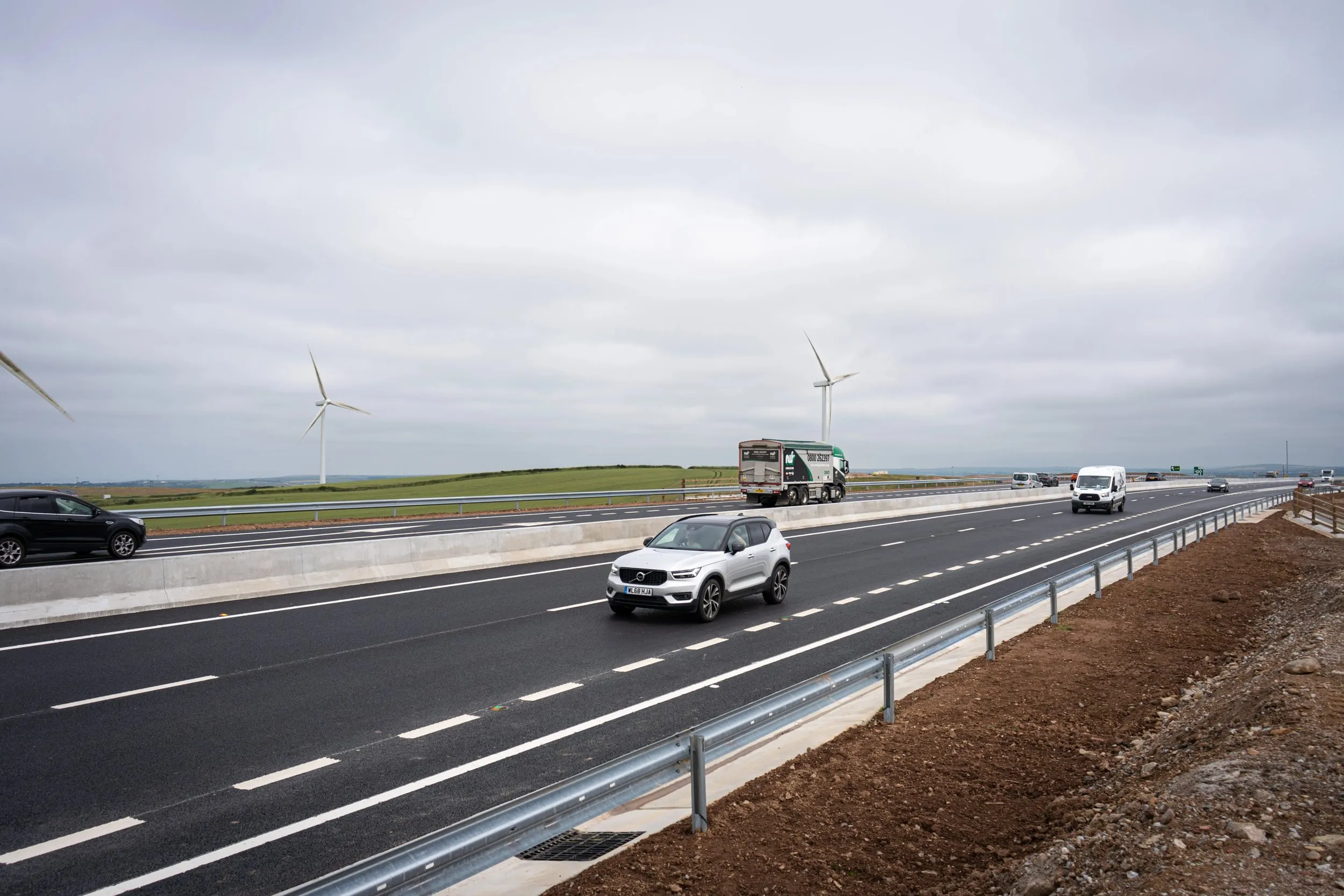
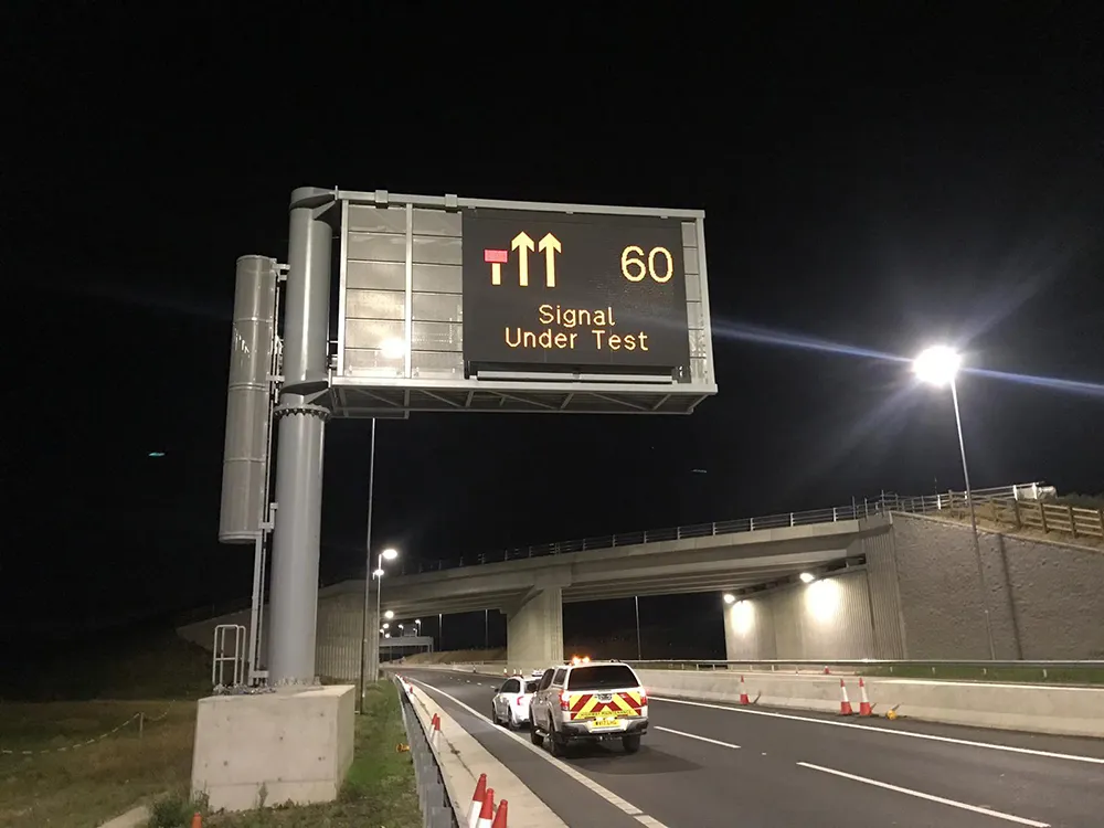
The two companies developed the sign technology for Highways England, the government road asset agency, with Costain delivering the roadside controller and Swarco delivering the signs. According to Costain, the next generation of signs is getting messages to road users more quickly which, in turn, improves road safety and the journey experience for travellers.

The new signs use high-resolution colour optical technology components that enable clearer messages and graphics to be displayed in all weather conditions.

Less material including cabling is used in the manufacturing process which means maintenance requirements are reduced as well as the time engineers spend on roadside duties.

The signs can also display live video images of congestion on the road ahead. This video information could be provided to road users in the future, according to Ian Parker, managing director for transportation at Costain.

For more information on companies in this article

Related Content

  • TrafficLand-Exelis platform offers key hyperlocal weather info to drivers
    January 7, 2014
    TrafficLand, the largest authorised aggregator of live traffic video in the United States, and global aerospace and defense firm Exelis, have teamed up to deliver “game-changing” real-time information to motorists about hyperlocal weather conditions. The Helios environmental intelligence platform uses proprietary algorithms that give users the ability to monitor current conditions and detect changes in visibility, precipitation and road surface conditions at a hyperlocal, or street scale. Helios can then i
  • Data handling for efficient machine control
    October 16, 2012
    The rapid increase in information availability is transforming the construction sector. Conventional methods used for sourcing geographic data based on maps and localised sampling meant that there was often a lack of accurate information relating to ground conditions at specific areas where work was planned, often resulting in unwelcome surprises for construction companies along with additional costs for projects.
  • Wider range of survey software functionality
    February 9, 2012
    Leica Geosystems is offering a broad spread of new packages and hardware that will deliver improved performance to users. The firmware 2.0 product is said to add powerful new capabilities to the Leica ScanStation C10, the industry's most popular 3D laser scanner for as-built and topographic surveys. This further increases the productivity and versatility of the fully integrated, cable-less ScanStation C10. A new Setup facility lets users take advantage of known survey points and backsighting, while remote,
  • Costain completes Cornish construction project
    August 2, 2024
    Costain has completed a key Cornish construction project.