Siemens cuts through traffic

Siemens has launched an alternative traffic detection system that uses magnetic disturbances to detect vehicles and low power wireless technology to transmit data to host controllers. According to Siemens head of product management Keith Manston, the WiMag system offers a cost effective detection system for stopline, vehicle actuation, SCOOT and MOVA applications. “Using a battery-powered wireless magnetometer sensor which lies beneath the surface of the road, the WiMag system utilises disturbances in the e
October 31, 2012 Read time: 2 mins

Siemens has launched an alternative traffic detection system that uses magnetic disturbances to detect vehicles and low power wireless technology to transmit data to host controllers.

According to 1134 Siemens head of product management Keith Manston, the WiMag system offers a cost effective detection system for stopline, vehicle actuation, SCOOT and MOVA applications. “Using a battery-powered wireless magnetometer sensor which lies beneath the surface of the road, the WiMag system utilises disturbances in the earth’s magnetic field to detect passing and stationary vehicles, and relays the information to the traffic controller without the need for expensive cabling or duct works,’ said Manston.

For new sites in particular, the WiMag system is said to offer a more cost effective and flexible solution than installing traditional loop detectors, especially where detection is required at significant distances from the traffic controller. Being battery-powered, wirelessly linked and smaller in size than traditional loop detectors, WiMag is also said by Siemens to lend itself to installation at remote locations, as well as being less prone to damage by street works.

With an inbuilt low-power wireless transmitter/receiver and a dedicated battery, each sensor can detect and transmit data to an associated Access Point or battery-powered repeater unit. Simply installed in the carriageway as a loop equivalent device, the in-road sensors may be located up to 300m from the host controller, using repeater units where necessary.

For more information on companies in this article

Related Content

  • Major innovations are coming to market in concrete slipforming
    March 6, 2017
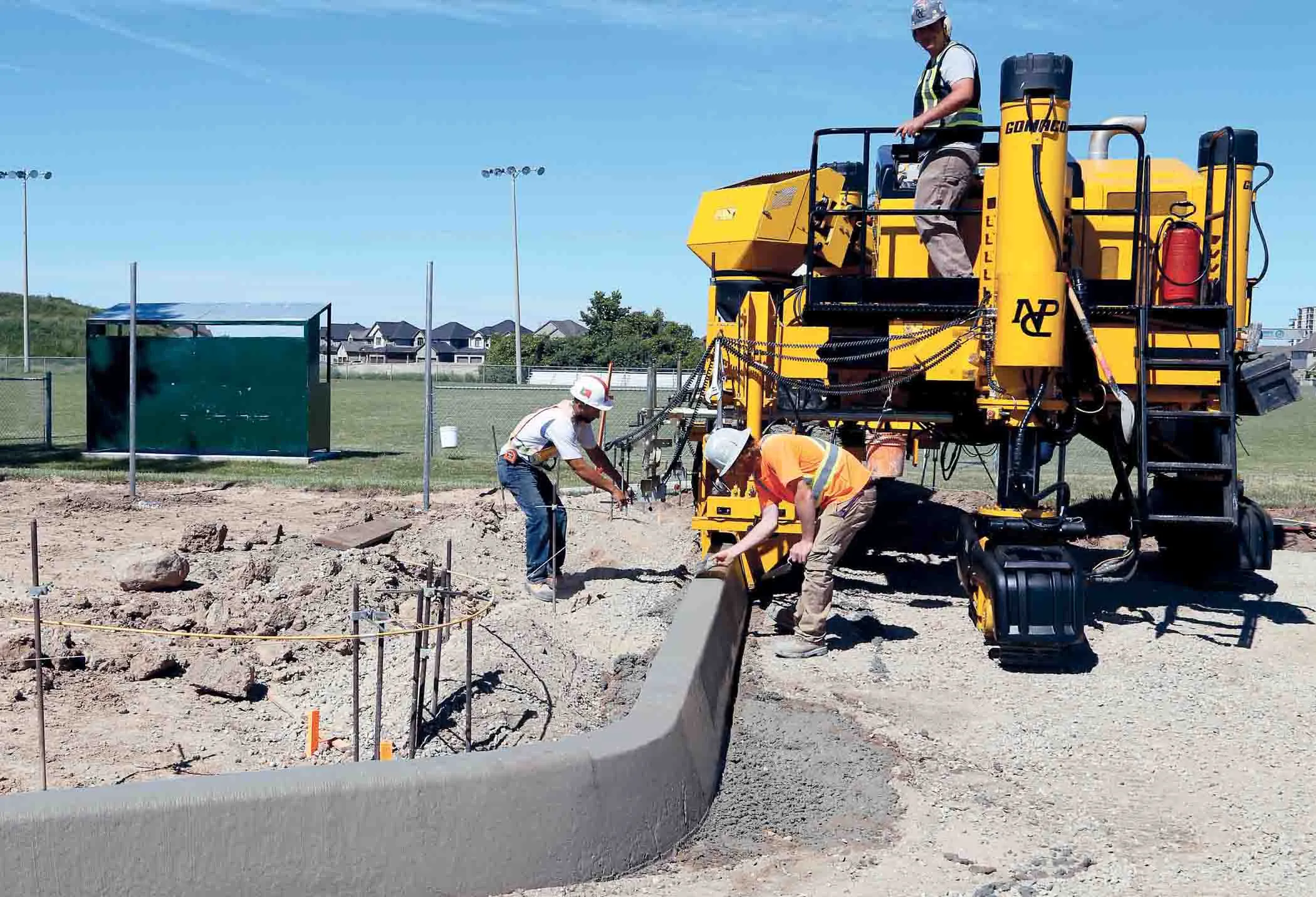
    Tough competition is being seen in the specialised market for concrete slipforming machines, with new partnerships and new technology coming to market - Mike Woof writes GOMACO is boosting the versatility of its Commander slipformer further with the development of the new Three-Track Commander IIIx variant. This has been configured to cope with much tighter radii than previous versions of the Commander III, allowing it to slipform a radius of just 610mm. This suits the machine to applications such as sli
  • Modern formwork systems - fast, flexible, safe
    February 21, 2012
    Speed of erection, safety, cost-efficiency and flexibility are among the attributes of modern formwork systems. Modern formwork and scaffolding systems are attractive in particular for their speed of erection, safety, cost-efficiency and flexibility.
  • Wider range of survey software functionality
    February 9, 2012
    Leica Geosystems is offering a broad spread of new packages and hardware that will deliver improved performance to users. The firmware 2.0 product is said to add powerful new capabilities to the Leica ScanStation C10, the industry's most popular 3D laser scanner for as-built and topographic surveys. This further increases the productivity and versatility of the fully integrated, cable-less ScanStation C10. A new Setup facility lets users take advantage of known survey points and backsighting, while remote,
  • Road construction software innovations
    February 13, 2012
    A range of key software innovations are now available for road construction applications from various suppliers - Adrian Greeman writes. Two significant and highly economic alternatives are now available to the major CAD providers both from Belgium and both offering interesting features. First is Pythagoras, which describes itself as a modern CAD program specially designed for topographical applications which include land surveying, road design and city planning.