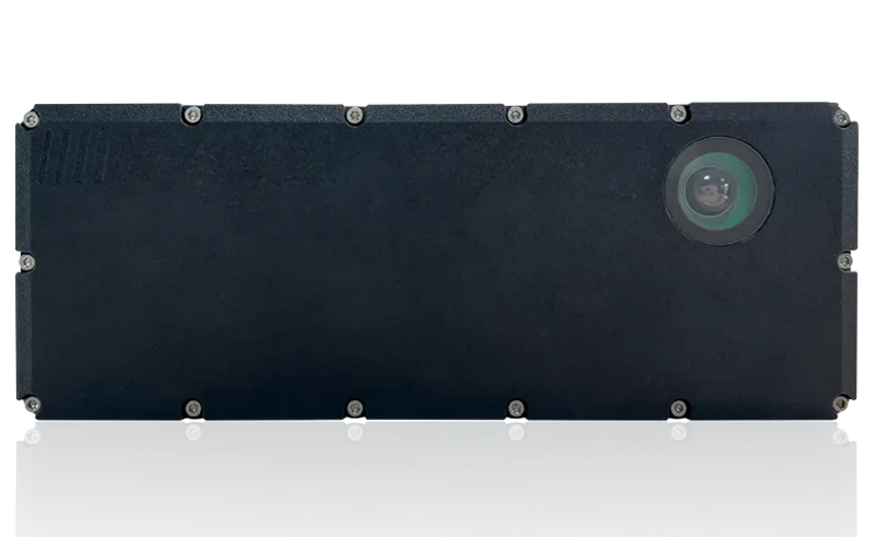
The robust, compact sensors weigh just 1.2kg and come with rotatable connectors for easy mounting on gantries. Heavy rain, mist, dust or snow can lead to false signals, explained Neil Sandhu,
“MRS1000’s four plane detection capability enables it to be used for more complex tasks as diverse as buildings, transport park and boundary management, and security for large or sensitive areas,” said Sandhu.
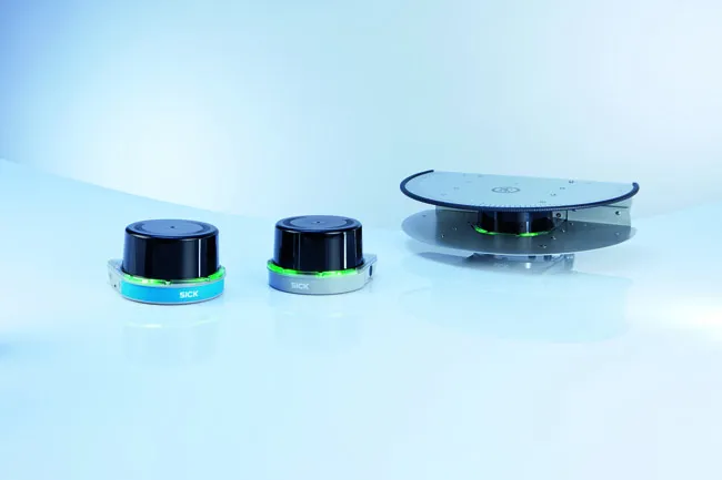
The SICK LMS1000 scans in a single plane, with a 275o angle of view, up to 64m for a general range of distance detection and ranging applications, with 10 fields allowing several different preprogrammed applications. With the same angle of view and distance, the MRS1000 scans in four planes at different heights, allowing either the height of objects to be scanned in, such as overhanging obstructions or in-depth mapping using the sensor from an elevated position. The 64 fields allow a very wide range of applications.
With exceptionally high scanning frequency, the amount of data collected by the LMS and MRS1000 units ensures very high accuracy for the user. The triple echo evaluation technology means the masking effects of snowfall, mist, rain or dust are eliminated from the signal, giving greater accuracy for the detection and location of rapidly moving objects. A rugged, compact housing resisting shock, impact and vibration also allows an operating temperature range of -30oC to +50oC. Integrated heating ensures that the sensor is fit for duty even in extremes of weather – and keeps maintenance costs low.
Configuration is very easy with SICK’s highly intuitive free SOPAS programming tool. Teaching in the fields takes little time and adds versatility and application-specific performance to the sensor.
The Ethernet interface delivers the measurement data output in real time for immediate operator action where required, and with switching outputs allowing wide availability of the data across an organisation’s local area network.