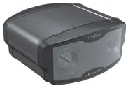
CitySync is offering an array of new tools for the traffic sector. The JellyBean is a mobile automatic number plate recognition (ANPR) camera aimed at use by enforcement agencies and is designed specifically to be mounted on police vehicles. This advanced dual ANPR camera incorporates mono and colour overview cameras, uses sophisticated infra-red LED technology and features a compact and durable casing.
The JetBOF ANPR back office package provides storage, matching and reporting of data using a
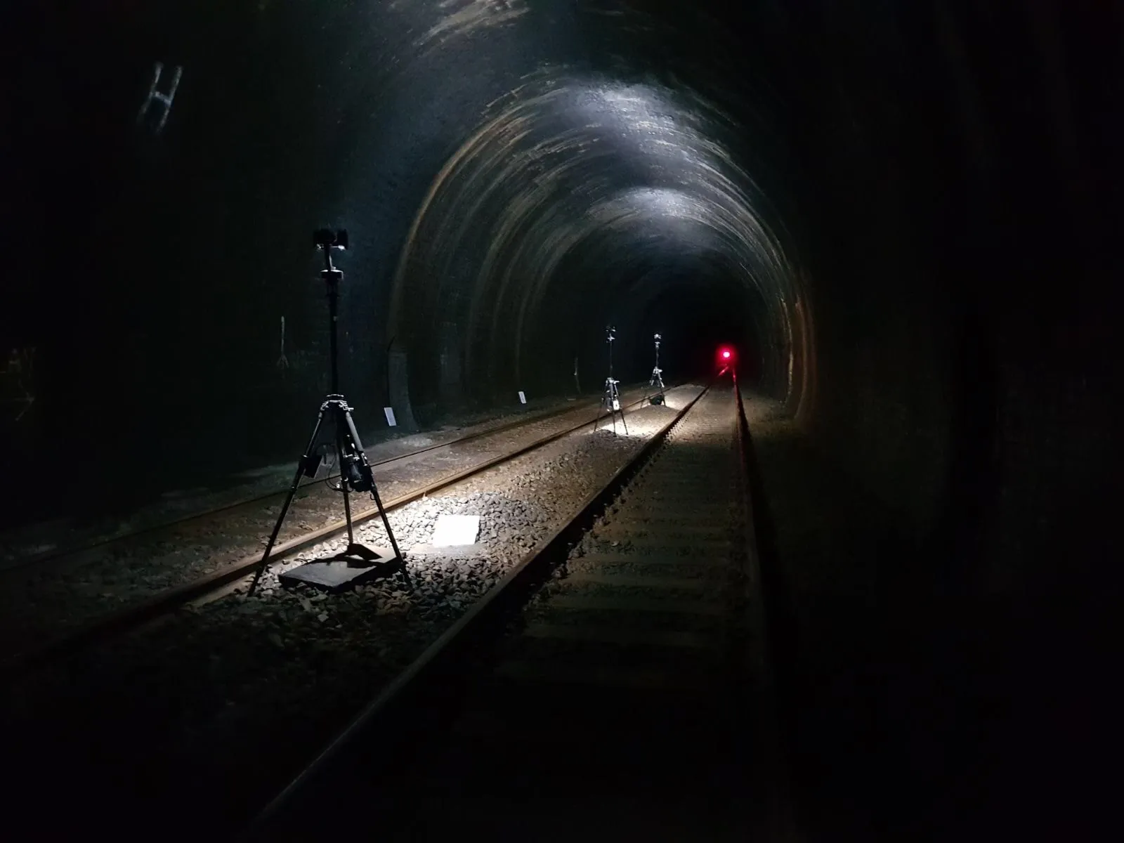
The Jet-JTMS system is a modular journey time monitoring tool that uses infra red cameras positioned at critical nodes around a city or along highways. These cameras read vehicle license plates in real time as traffic passes. Accurate ANPR processing takes place in the camera or at the roadside and the data is continuously transmitted back to a central JTMS Server which processes this traffic data and produces accurate up to the minute journey time data for any set of nodes. This data can then be exported to other traffic management systems.
The JetCam Bollard ANPR camera has been redesigned and suits duties in car parks and access control systems. Its improved stainless steel housing provides a mounting for the ANPR camera at roughly the same height as front car plates.