Mott MacDonald’s Osprey keeps traffic flowing in Tyne and Wear

Mott MacDonald has been appointed by Tyne and Wear councils in northern England to upgrade their urban traffic management and control (UTMC) system. The existing Tyne and Wear UTMC system, which Mott MacDonald has been providing since 2010, monitors the busiest and most important parts of the region’s road transport network. This accounts for over 750,000 vehicle movements per day and more than 11,000 incidents, collisions and events annually.
May 18, 2018 Read time: 2 mins
2579 Mott MacDonald has been appointed by Tyne and Wear councils in northern England to upgrade their urban traffic management and control (UTMC) system


The existing Tyne and Wear UTMC system, which Mott MacDonald has been providing since 2010, monitors the busiest and most important parts of the region’s road transport network. This accounts for over 750,000 vehicle movements per day and more than 11,000 incidents, collisions and events annually.

For the upgrade, Mott MacDonald is delivering the latest version of its Osprey UTMC system. It includes significant improvements to strategic planning and reporting tools, according to the company. Delivery is over several phases. Initial implementation of the new Osprey system is due for completion in early 2018, with further phases to be completed by the end of 2018. The contract also includes an additional five years of system support, until 2023, said Craig Morrison, Mott MacDonald’s project director.

"We are looking forward to working with the Tyne and Wear local authorities to enhance their Osprey functionality, such as dashboard views, historic data display and strategy implementation,” said Morrison.

“This will make it easier for their control room operators to implement actions to improve traffic flows, which in turn will reduce congestion for the benefit of commuters within the region.”

For more information on companies in this article

Related Content

  • From managed asset to service provider: the future highway
    May 20, 2019
    Every day we hear about Mobility as a Service (MaaS), but what about Roads as a Service? Geoff Hadwick reports from the ERF in Brussels The familiar physical asset called the road will increasingly be seen as part of an emerging global services sector. Given that, the role of the road is changing, notes Christophe Nicodème, general director of the European Union Road Federation (ERF). We need to think much more carefully about planning highway infrastructure in terms of people’s needs, said Nicodème,
  • Asphalt plant for Turkish highway project
    June 27, 2018
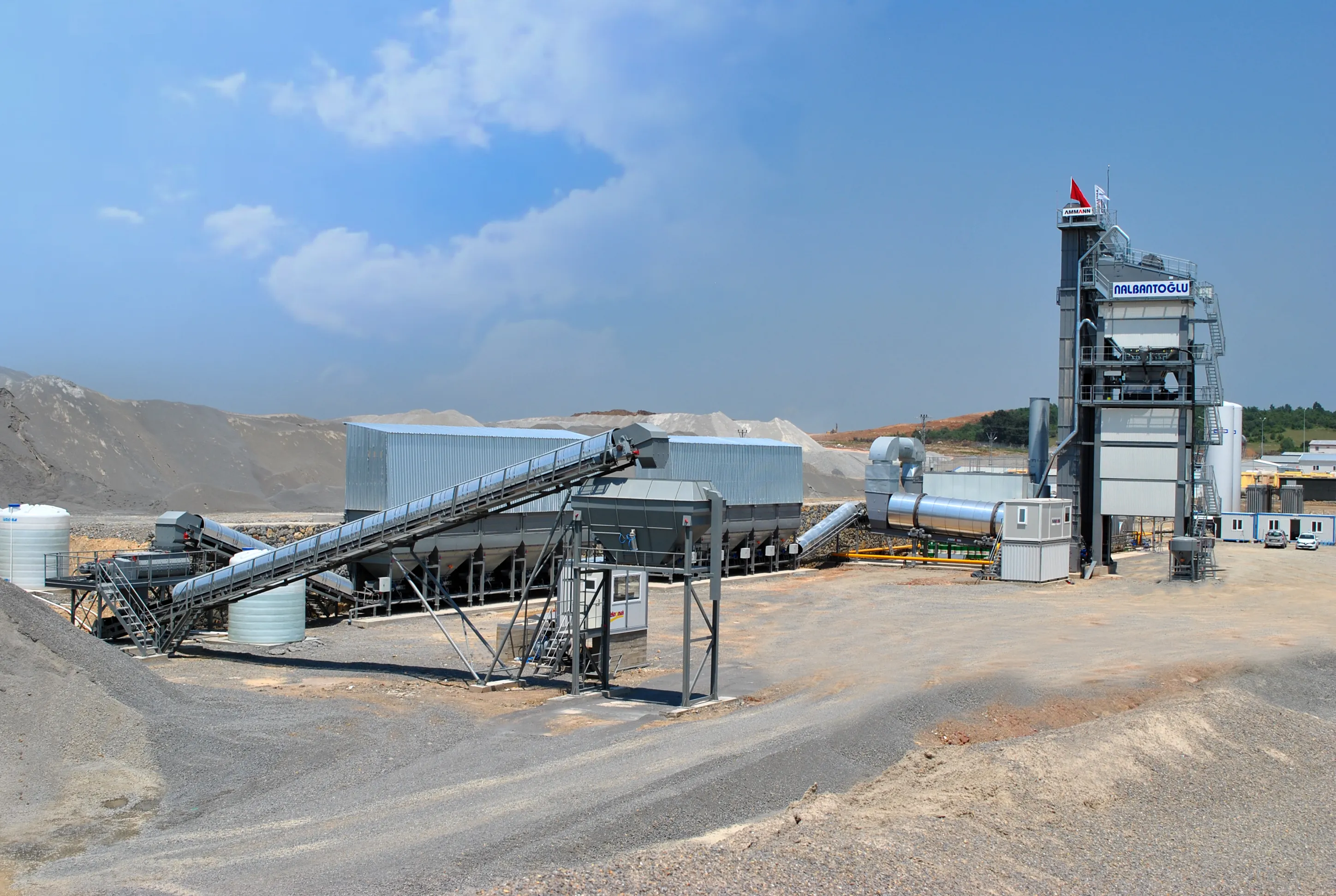
    An asphalt plant from Ammann is playing a key role in the construction of a new Turkish highway. An important factor in the selection of the plant for the construction of Turkey’s Northern Marmara Motorway was its ability to utilise fibres. A large portion of the motorway, which serves as a bypass of Istanbul, has been completed. Handling a good deal of the remaining work is Nalbantolu naat, a family-owned business founded in 1995. The company has completed a number of high-profile projects, including
  • EarthSense Systems releases air pollution map of the UK
    June 15, 2018
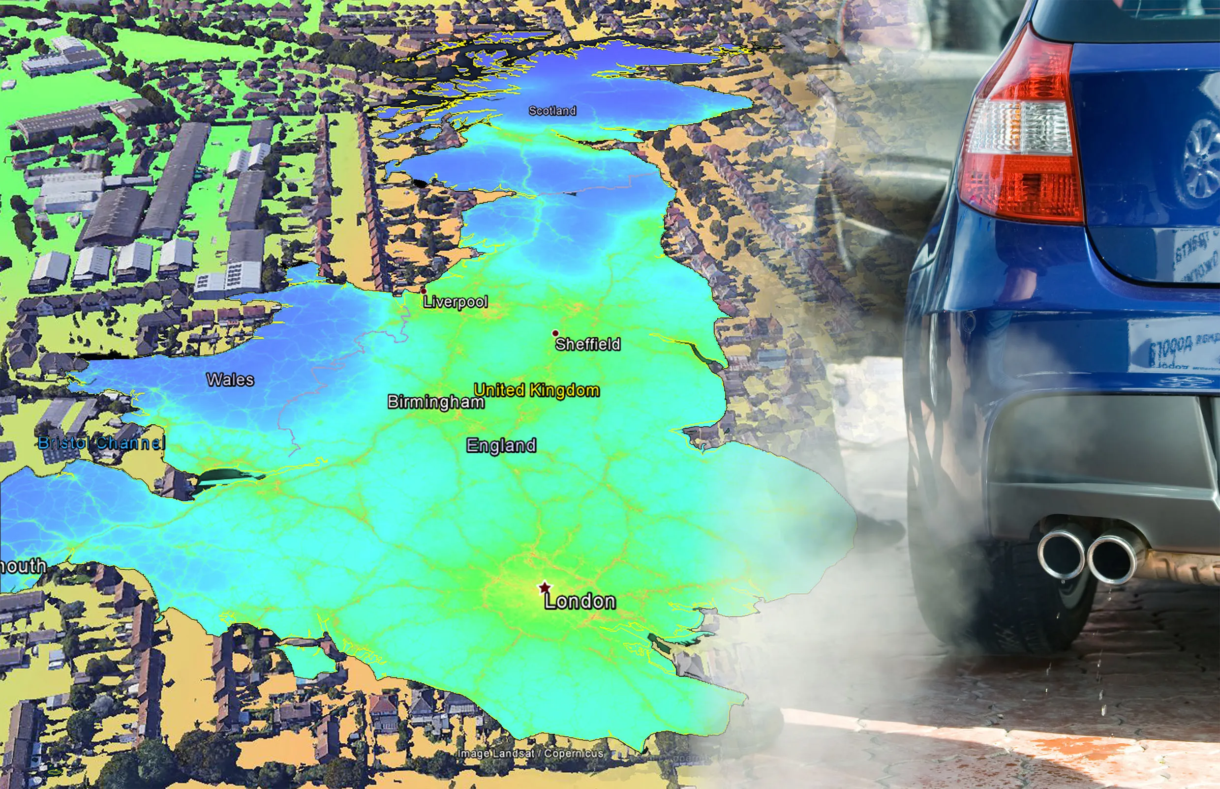
    EarthSense Systems has published MappAir, a high-resolution map of air pollution throughout the entire UK. MappAir shows how air pollution - specifically nitrogen dioxide - changes across the country and within towns and cities, highlighting likely sources and potential clean-air refuge areas. It combines data from satellites and its EarthSense Systems’ own air quality monitoring sensors along with open source data. The result, using complex modelling, creates a highly accurate map at 100m resolution, says
  • EarthSense Systems releases air pollution map of the UK
    June 26, 2018
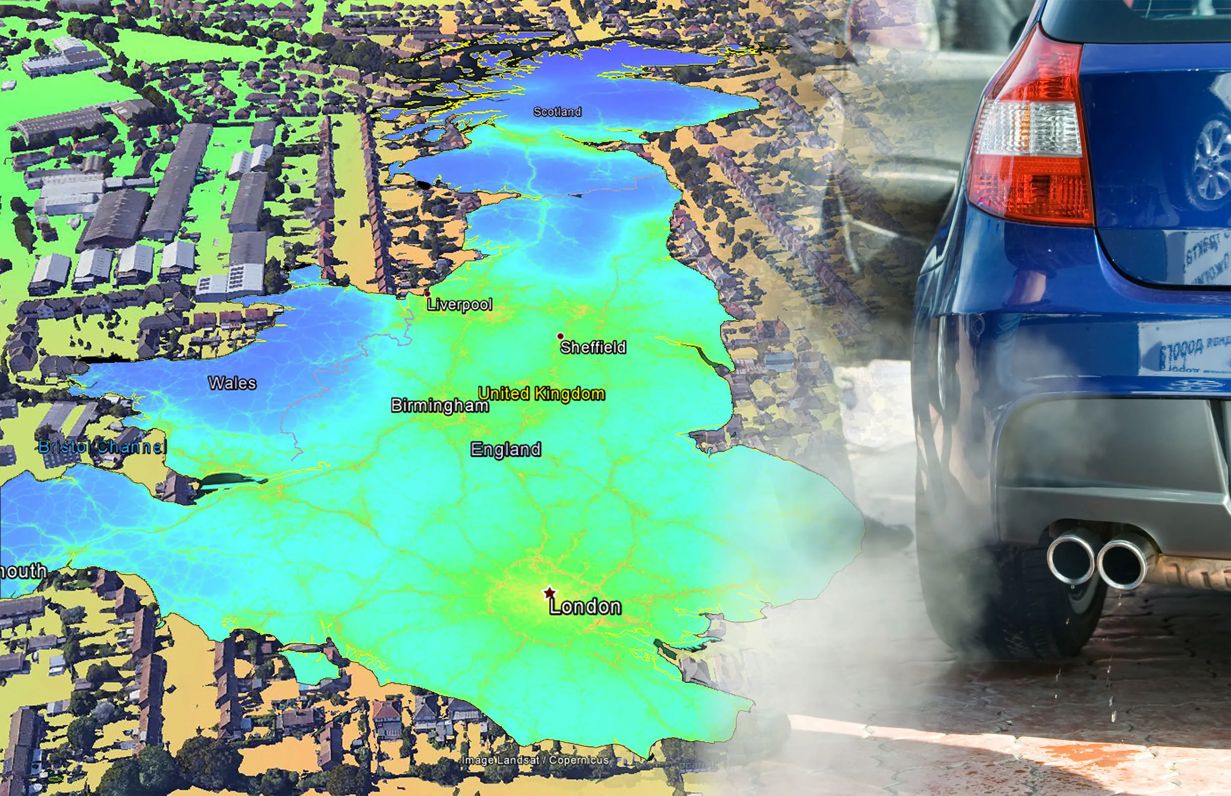
    EarthSense Systems has published MappAir, a high-resolution map of air pollution throughout the entire UK MappAir shows how air pollution - specifically nitrogen dioxide - changes across the country and within towns and cities, highlighting likely sources and potential clean-air refuge areas. It combines data from satellites and its EarthSense Systems’ own air quality monitoring sensors along with open source data. The result, using complex modelling, creates a highly accurate map at 100m resolution, says